Jamaica · Blue Mountains
Blue Mountain Peak and Holywell: choosing your hike in Jamaica
A practical choice between the demanding ascent to Jamaica’s highest point and Holywell’s shorter trails, set within cloud forest and maroon history.
Conditions described in the guide: confirm current requirements and access with the official source before travelling.
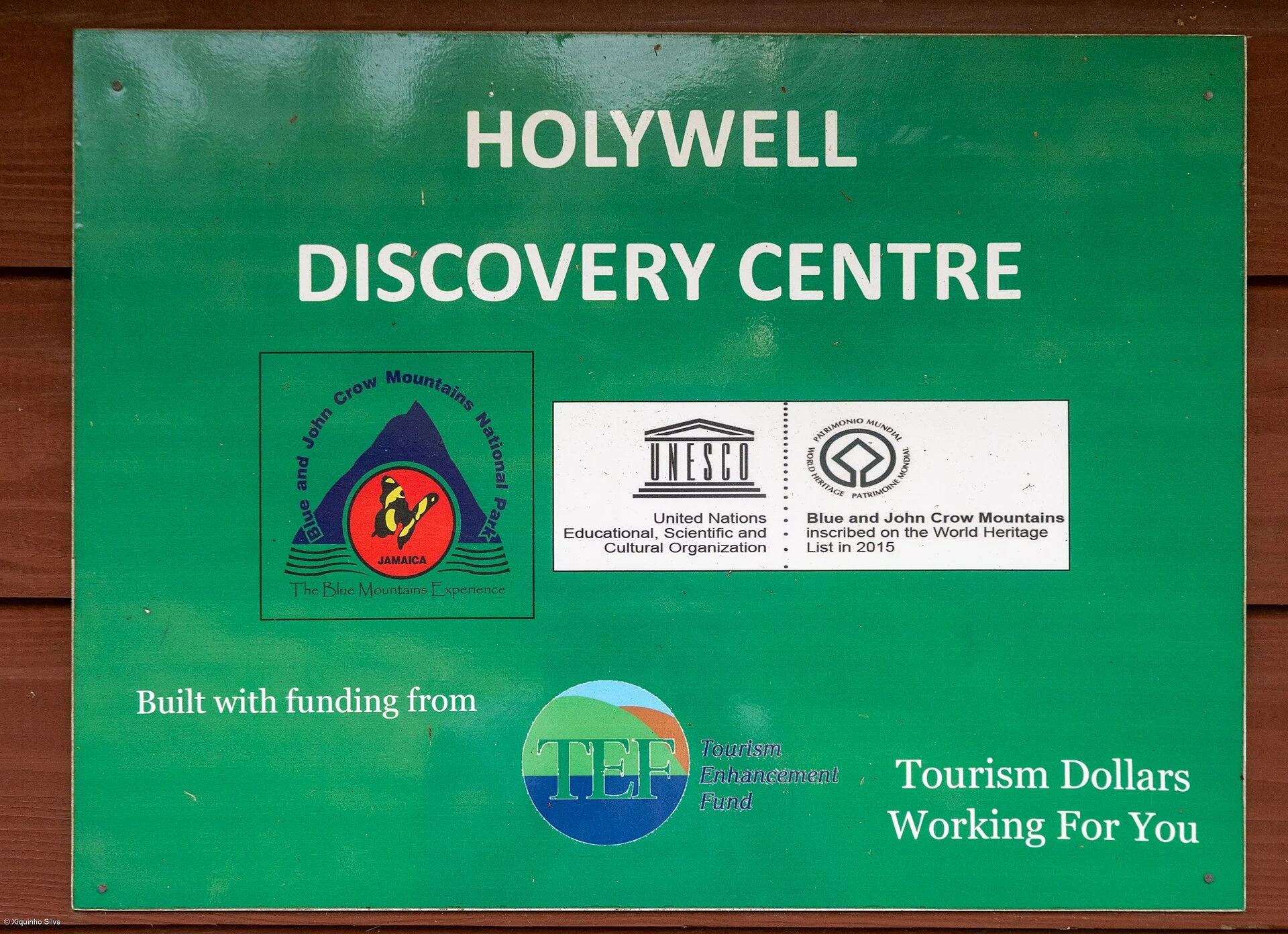
In the Blue Mountains, the useful choice is not simply whether to climb to the summit. It is deciding whether you want a day of sustained effort and rural logistics or a shorter introduction to cloud forest from Holywell. Both experiences lie within the Blue and John Crow Mountains National Park, but they require very different amounts of time, mobility and preparation.
This protected landscape brings together natural values and a history linked to Jamaica’s maroon communities. Explore it with attention to place, rather than treating it as a backdrop for a sunrise photo: stay on the trails, take your waste back with you and treat mountain communities as living territories, not improvised attractions.
The central choice: full summit or forest at human scale
At 2,256 metres, Blue Mountain Peak is the choice for anyone seeking a long, steep hike. Park information describes the main route as a strenuous climb: the classic route from Penlyne Castle covers about 12.5 kilometres to the summit and takes around seven hours there and back. The final section from Portland Gap is 5.6 kilometres and takes approximately two to three hours each way.
Holywell offers a different pace. It is closer to Kingston and has a group of marked trails of manageable length, rest areas and a visitor centre. The Oatley Mountain Trail climbs steeply, while Shelter Trail provides a shorter option with less elevation gain. It is the sensible choice if you are travelling with children, have half a day available or want to observe the forest without committing to a night-time ascent.
Do not confuse ease of access with physical ease: Holywell has more moderate options, but some paths are still steep and uneven. The summit, by contrast, should be reserved for people accustomed to walking for hours on steep, wet terrain.
Peak logistics begin long before the trail
The hike to Blue Mountain Peak does not begin on an avenue or at an urban car park. The approach runs through Papine, Mavis Bank, Hagley Gap and Penlyne Castle before reaching the mountain sections. The park documents bus transport as far as Mavis Bank and notes that, farther up, travel may combine walking with four-wheel-drive vehicles.
That makes the summit an excursion that needs a time buffer, even if you are staying in Kingston. Do not build your plan around a tight connection or a late arrival at the trailhead. If you choose an early-morning start to see the sunrise, spending the previous night at Portland Gap reduces the amount of night travel; if you prefer to walk during daylight, you will be better able to read the forest, take breaks and manage your pace.
Rustic accommodation and camping are available at Portland Gap, but cabins and pitches require reservations. Before setting out, check availability, road conditions, trail status, check-in requirements and fees with park management. A guided hike is also an option, and is especially sensible for anyone unfamiliar with the mountain and its local logistics.
What changes as you climb: from cultivation to elfin forest
The appeal of the Peak does not depend solely on reaching the top. From the hillside farming areas, the route enters montane forest and, near the summit, an elfin forest: low, twisted trees exposed to altitude, moisture and wind. Rain, fog and cold may appear even if the day began warmly on the coast.
Bring enough water, simple food, waterproof clothing, a warm layer, a torch with reliable batteries if walking at night and footwear with good traction. There are no toilets along the summit trail, so use one before setting out. Avoid shortcuts through streams or down slopes: besides causing disorientation, they accelerate erosion. Spending the night on the summit is not permitted.
Wide views are possible, but they are not guaranteed. Plan the hike around the forest experience, not just a panorama that cloud cover may conceal.
A landscape of freedom that is not visited like a museum
The Blue and John Crow Mountains sheltered Indigenous communities and, later, maroons who resisted colonial enslavement and developed networks of routes, settlements and refuge sites. The area’s cultural value is tied to that relationship between knowledge of the terrain, autonomy and living practices; it is not merely a closed chapter of the past.
Nanny Town is an archaeological site associated with this history, and its mountain location was part of its defence. Do not treat it as an impromptu roadside stop. To understand the context, look for activities offered by communities or the park, and listen to how this heritage is presented today. Maroon memory remains contemporary: it includes forms of governance, music, medicinal practices and community ties to the mountain.
This perspective gives the journey another measure. A mountain coffee or a conversation with a local guide may add more to the trip than stringing together viewpoints without understanding the territory that sustains them.
A realistic plan for one or two days
For a single day from Kingston, Holywell is the better-proportioned choice: it lets you walk, take a break and return without the day being dominated by a long ascent. Combine a short trail with Oatley Mountain if you have good balance and want a climb; otherwise, prioritise Blue Mahoe and Shelter Trail.
For Blue Mountain Peak, consider two possible paces. The first is to spend the night at Portland Gap and set out before dawn, accepting the cost of walking in the dark and relying more heavily on the weather. The second is to start in daylight, devote the entire day to the mountain and accept that you may not see the sunrise. In either case, leave the following day free of demanding physical activity.
Do not announce your arrival with loudspeakers, feed wildlife or use unnecessary single-use packaging. The entrance fee helps maintain the area, but the visitor’s most direct contribution is simple: do not create new trails, remove plants or natural souvenirs, or leave any trace.
References to check before setting out
Check with park management for the Blue and John Crow Mountains National Park to confirm Portland Gap and Holywell reservations, fees, trail conditions, approach transport, available guides and possible closures.
Consult the UNESCO World Heritage Centre for the site’s natural and cultural context as an inscribed site, Blue and John Crow Mountains.
Consult the Jamaica National Heritage Trust for historical and heritage information about Nanny Town.
Consult Jamaica’s National Environment and Planning Agency for information on the park’s protected-area status.
References consulted during editorial review. Times, requirements and advisories may change: always confirm with the official source.
- https://whc.unesco.org/en/list/1356 whc.unesco.org
- https://whc.unesco.org/en/statesparties/jm whc.unesco.org
- https://whc.unesco.org/document/152455 whc.unesco.org
- https://www.visitjamaica.com/blog/post/hiking-the-blue-mountain-peak/ www.visitjamaica.com
- https://whc.unesco.org/document/152457 whc.unesco.org
- https://whc.unesco.org/en/decisions/7037 whc.unesco.org
- https://whc.unesco.org/en/tentativelists/6822 whc.unesco.org
- https://whc.unesco.org/en/list whc.unesco.org
- Jamaica WikidataCC0 1.0 Wikidata · Q766
- Jamaica WikidataCC0 1.0 Wikidata · Q1320403
- Jamaica WikidataCC0 1.0 Wikidata · Q3450853
- Jamaica WikidataCC0 1.0 Wikidata · Q1913470
- Jamaica WikidataCC0 1.0 Wikidata · Q3377006
- Jamaica World Countries — mledozeODbL 1.0 World countries dataset by mledoze and contributors · ODbL 1.0
- Jamaica World Bank Open DataCC BY 4.0 World Bank
- Jamaica DBpediaCC BY-SA 3.0 DBpedia
- Blue Mountain Peak GeoNamesDatos geográficos bajo CC BY 4.0; requiere atribución a GeoNames. Fuente: GeoNames
- Blue Mountain Peak, Portland, Surrey County, Jamaica OpenStreetMapODbL 1.0; atribución y obligación de compartir bases derivadas. Fuente: OpenStreetMap
- Blue and John Crow Mountains National Park, Portland, Surrey County, Jamaica OpenStreetMapODbL 1.0; atribución y obligación de compartir bases derivadas. Fuente: OpenStreetMap
- Kingston GeoNamesDatos geográficos bajo CC BY 4.0; requiere atribución a GeoNames. Fuente: GeoNames
- Kingston GeoNamesDatos geográficos bajo CC BY 4.0; requiere atribución a GeoNames. Fuente: GeoNames
- Kingston, Surrey County, Jamaica OpenStreetMapODbL 1.0; atribución y obligación de compartir bases derivadas. Fuente: OpenStreetMap
- Norman Manley International Airport OpenFlightsODbL 1.0 (base de datos) / DbCL 1.0 (contenidos) Norman Manley International Airport · OpenFlights · ODbL 1.0