Suriname · urban culture
Paramaribo via Waterkant, Palmentuin and Fort Zeelandia
A day on foot through historic central Paramaribo to understand its wooden architecture, public spaces and what to check before setting out.
Conditions described in the guide: confirm current requirements and access with the official source before travelling.
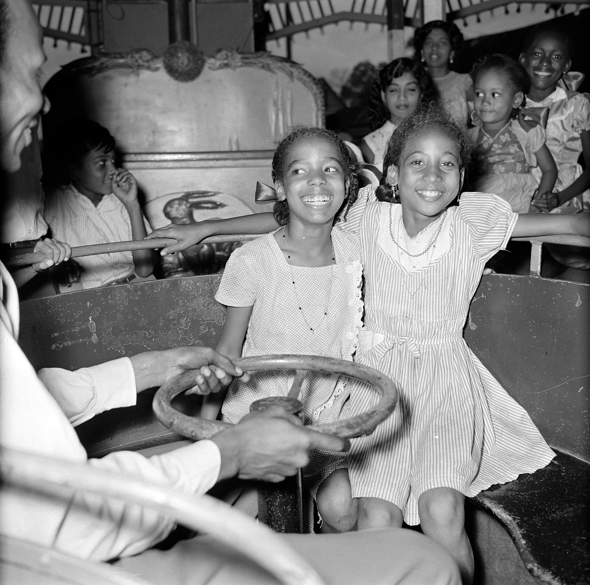
Paramaribo is best understood as a city of short routes and deep layers: a grid beside the river, wooden buildings, gardens and active places of worship. This itinerary focuses a first day on the historic centre, looking at architecture as an urban landscape rather than as isolated scenery. Pace matters: it is wise to set out early, reserve the middle of the day for indoor visits and leave the riverfront walk for before evening, with prudent planning for the return journey.
Start at Fort Zeelandia and look towards the city from the river
The most useful starting point is Fort Zeelandia, on the bank of the Suriname River. It not only houses the Suriname Museum; it also explains why the city expanded inland from this edge. Spend time in the complex before setting off on foot; the collections provide names and context for the Indigenous, Creole, Maroon, Javanese, Hindustani, Chinese and European communities present in the country’s history.
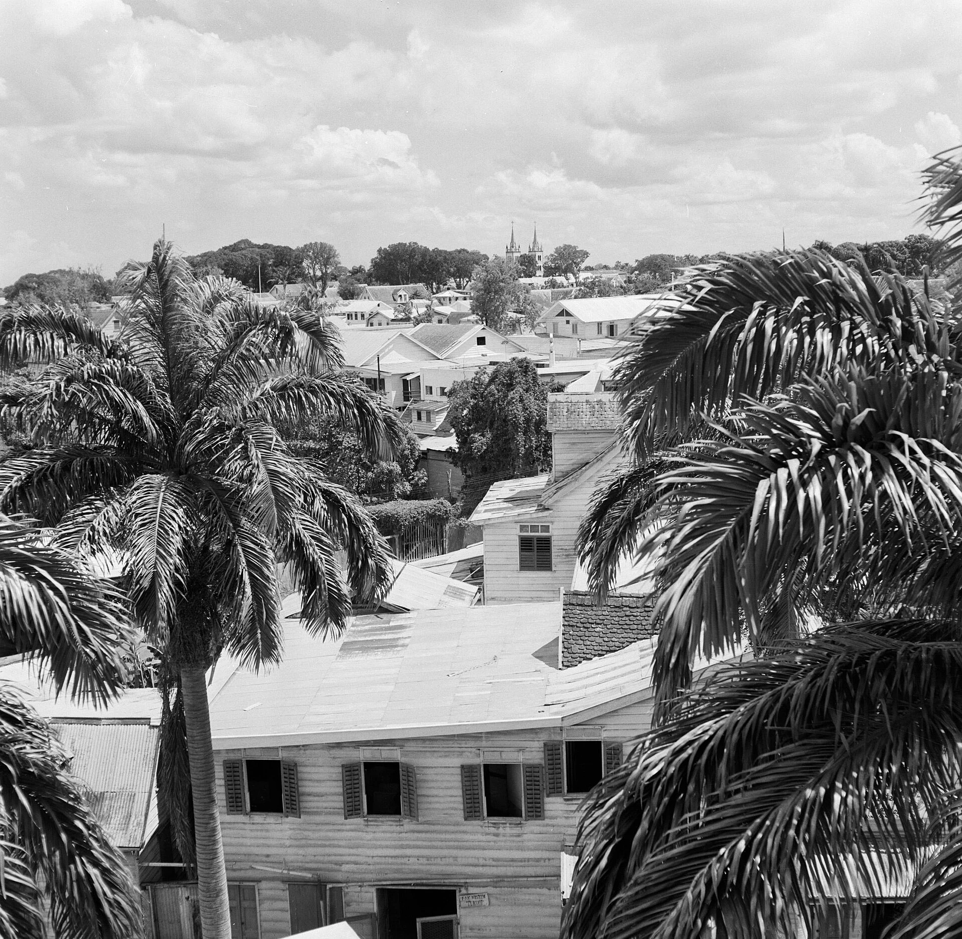
From there, follow Waterkant without turning it into a race to see façades. Notice the low-rise scale, porches, roofs and the alternation between wooden buildings and masonry construction. The historic centre’s value lies in this complete urban fabric—broad streets, open spaces and everyday buildings—not only in its landmarks. Some properties are fragile, unevenly restored or still in use; photographing from public space and not entering private access points is a simple way to respect a living heritage.
The museum publishes limited opening hours and offers a small-capacity guided visit on Sundays. Check opening times, holiday closures and tour availability before planning your day, as these details may change.
From Independence Square to Palmentuin
From the fort, head towards Onafhankelijkheidsplein—Independence Square—and the area around the Presidential Palace. This part of the walk helps explain Paramaribo’s spatial logic: administrative power, the river and the garden are physically connected.
Palmentuin works best as a shaded transition rather than an attraction to consume in a hurry. Walk its paths during the day and return to the central streets by a straightforward route, without relying on quiet shortcuts. For wheelchair users, people with pushchairs or anyone with reduced mobility, the route may require patience because of the variable condition of pavements, changes in level and uneven surfaces; do not treat it as a fully accessible route without checking current conditions on the ground.
The listed historic centre contains a remarkable concentration of wooden architecture. Its interest lies not in a frozen image of the past, but in how techniques and materials were adapted to a humid coastal soil and a multicultural city. That vulnerability also helps explain what you see: preserving wood requires constant maintenance, and the area faces risks of decay, fire and urban pressure.
Keizerstraat: a place to observe, not an automatic stop
Continue towards Keizerstraat, where the Neveh Shalom synagogue and the mosque stand side by side. Their proximity is significant, but it does not replace the communities that bring both buildings to life: these are religious spaces, not a tourist set.
The most practical choice is to view the complex from the street, behave discreetly and ask before attempting to enter or photograph the interior. Do not assume visitor access, dress codes or prayer times. If you encounter a religious activity, give priority to passing quietly rather than pursuing a visit.
Complete the route with the Saint Peter and Paul Basilica Cathedral, another example of a large wooden structure. Together, these stops help distinguish three things that are often blurred: historic urban planning, contemporary religious diversity and the daily life of a capital that continues beyond its heritage area.
Practical decisions for a day on foot
For this route, staying or beginning the day near the centre makes it possible to leave the car behind for the main visits. Distance is not the only factor: heat, heavy rain and the uneven condition of some streets can mean that a short walk requires breaks, water and sun or rain protection.
Plan the route during daylight and decide in advance how you will return to your accommodation. Current consular advice points to robbery and theft in Paramaribo and recommends particular caution in quiet or sparsely populated areas; Palmentuin is specifically listed among places to avoid after dark. Carry only what you need, put your phone away when you are not using it and avoid displaying cash.
Do not turn an urban afternoon into a test of endurance. If heavy rain arrives or the heat saps your energy, keep Fort Zeelandia and the Waterkant–Independence Square axis as your core route, and leave Keizerstraat for another time. This makes for a more attentive visit and reduces the pressure to string every stop together in one outing.
Sources and checks before your trip
- UNESCO World Heritage Centre: description, heritage values and conservation status of the Historic Inner City of Paramaribo.
- Suriname Travel: official guidance on Paramaribo, Fort Zeelandia, Independence Square, Palmentuin and the main religious buildings.
- Stichting Surinaams Museum: address, announced opening hours, holiday closures and Fort Zeelandia guided tour. Check them again before visiting.
- United States Department of State: current travel advice and safety recommendations for Suriname, including those concerning Paramaribo and Palmentuin. Review them close to your departure date.
References consulted during editorial review. Times, requirements and advisories may change: always confirm with the official source.
- https://whc.unesco.org/en/list/940 whc.unesco.org
- https://suriname.travel/paramaribo/ suriname.travel
- https://whc.unesco.org/document/127260 whc.unesco.org
- https://whc.unesco.org/en/list/940/documents whc.unesco.org
- https://whc.unesco.org/document/217492 whc.unesco.org
- https://travelparamaribo.com/see-do/historic-sites travelparamaribo.com
- https://whc.unesco.org/en/decisions/7786/ whc.unesco.org
- https://whc.unesco.org/uploads/nominations/940rev.pdf whc.unesco.org
- Surinam WikidataCC0 1.0 Wikidata · Q730
- Surinam WikidataCC0 1.0 Wikidata · Q635545
- Surinam WikidataCC0 1.0 Wikidata · Q9348370
- Surinam WikidataCC0 1.0 Wikidata · Q19901436
- Surinam WikidataCC0 1.0 Wikidata · Q2688457
- Suriname World Countries — mledozeODbL 1.0 World countries dataset by mledoze and contributors · ODbL 1.0
- Suriname World Bank Open DataCC BY 4.0 World Bank
- Suriname DBpediaCC BY-SA 3.0 DBpedia
- Surinam DBpediaCC BY-SA 3.0 DBpedia