Lithuania | Žemaitija
Platelių and Plokštinė combine lake trails with Cold War history
In Žemaitija National Park, Lake Platelių and a former missile base offer a day combining nature, active travel and European memory.
Conditions described in the guide: confirm current requirements and access with the official source before travelling.
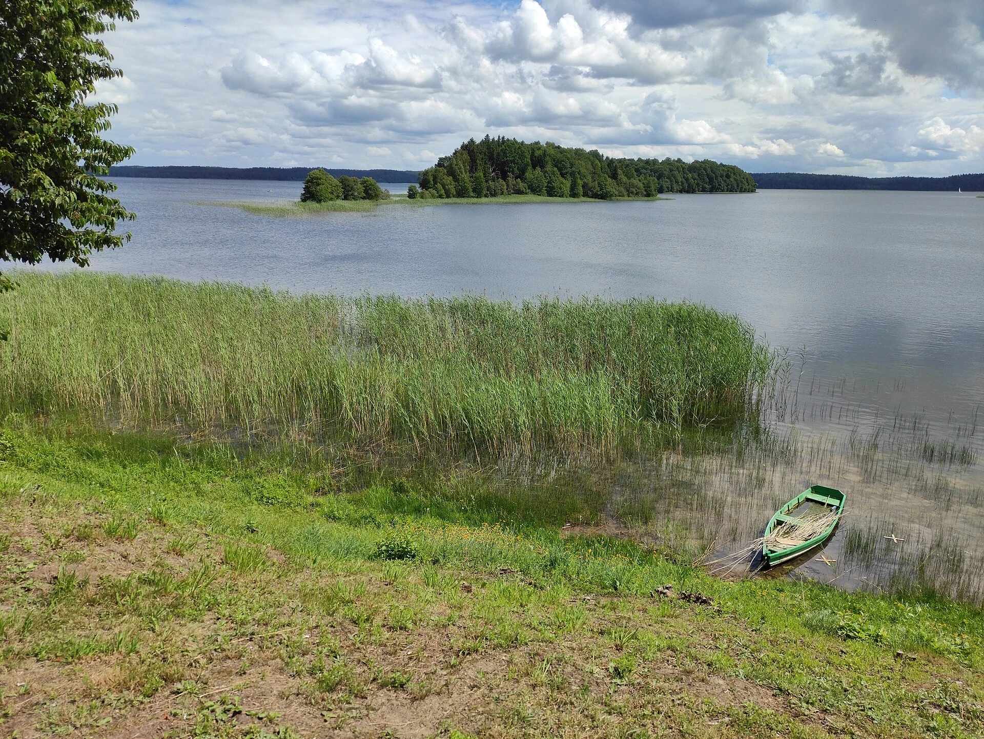
Platelių and the Plokštinė forest make an unconventional excursion in northwestern Lithuania: a lake with wooded shores, signposted trails and a former Soviet missile facility. The key is not to rush through everything, but to choose between a lakeside walk and a day of cycling and historical memory. The combination works particularly well for anyone who wants to understand how a protected landscape and a twentieth-century military infrastructure now share the same territory.
Two scales for one landscape
Start in Platelių, the village that provides the base for exploring the park. Its visitor centre helps put Samogitia’s rolling terrain, the lake and the available routes into context; afterwards, the viewing platform offers views towards the islands and the Plokštinė forest. This is a useful first stop, not a formality: it helps you decide how much of the day to devote to walking and how much to getting around.
For a relaxed experience, the Šeirė Trail covers 4.1 km beside the forest, the Gaudupis bog, the small Piktežeris lake and the shore of Lake Platelių. The route is signposted and has a compacted surface. It is not the same as a fully accessible itinerary, but a 1.4 km section has been adapted for people with reduced mobility; the lakeside platform has ramps and tactile Braille information. Check the condition of the surface before assuming that these adaptations meet your specific needs.
The active alternative is the 24 km cycling circuit around the lake. It connects Platelių with Beržoras, the Babrungas springs, recreational areas and the turn-off to Plokštinė. This is a reasonable distance for cyclists used to riding for several hours, but it should not be mistaken for a completely flat outing: there are descents and bends that require good bicycle control.
Plokštinė adds historical depth to the route
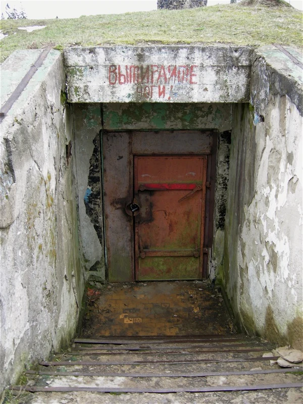
Around 10 km from the Platelių visitor centre lies the Cold War Exhibition, housed in the former Soviet Plokštinė missile-launch complex. Between 1963 and 1978, it held four SS-4 medium-range ballistic missiles aimed at Western Europe. Entering its underground spaces changes how you read the landscape: the forest is no longer merely a recreational setting, but also reveals the infrastructure, secrecy and nuclear threat that shaped the region.
Allow enough time to explore the exhibition rather than treating it as a photographic stop. The corridors, security systems, technical rooms and material on propaganda make it possible to approach Cold War memory through the physical scale of the site. It is a particularly suitable place to discuss military power and the lives shaped by it, not to romanticise an armed installation.
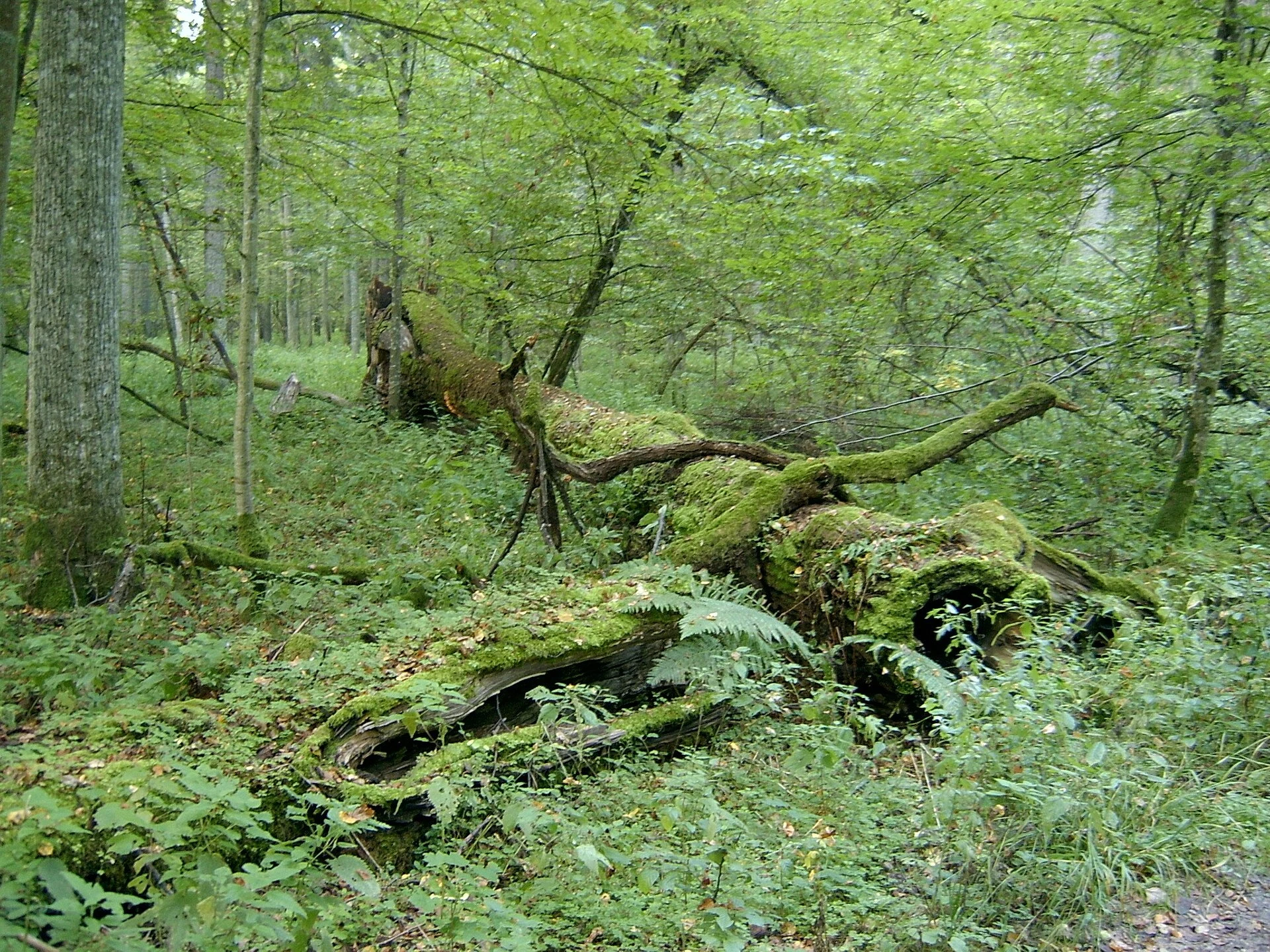
The Plokštinė educational trail begins beside the museum. This 3 km circuit crosses conifer-covered hills, remnants of the former military compound and the Pilelis spring. With 800 metres of natural ground and 2.2 km of compacted surface, it calls for closed footwear and realistic expectations: this is a forest walk, not an urban promenade.
A feasible day without turning it into a race
If you are staying in Platelių or arrive early, spend the morning on Šeirė and the lakeshore, and leave the museum and Plokštinė trail for the afternoon. This division prevents the full cycling circuit from setting the pace for the entire visit. Anyone cycling the 24 km can incorporate Plokštinė into the route, but should allow time for breaks, water and the exhibition.
Public transport can take you to Platelių from Plungė on local services, including route 24A. However, the former base is not in the village centre: covering both Platelių and Plokštinė by bus can be inflexible. To visit both places in one day, a bicycle, a taxi arranged in advance or a private vehicle offers more flexibility; without a car, it is more sensible to focus on Platelių and Šeirė.
The park offers guided visits, including cycling outings that must be booked in advance. This can be a good choice for groups wanting to connect geography, local uses and the military past; check the language, minimum group size and availability before arranging your journey.
Responsible choices that improve the visit
The area’s appeal depends on its shores, wetlands and forests remaining living places, not merely backdrops for a route. Stay on signposted trails, do not take improvised shortcuts through sensitive vegetation, and avoid leaving litter or making unnecessary noise. Unhurried observation usually offers more than adding kilometres in a rush.
Do not assume that every facility, path or service operates in the same way on every date. The visitor centre is seasonal; the museum, guided visits, bus timetables and cycling conditions may change. Check the official information shortly before setting out, especially if you rely on public transport, are travelling with a rented bicycle or require accessibility adaptations.
The reward for choosing the right scale is clear: Platelių invites attention to the water, forests and local leisure practices; Plokštinė makes you view the same territory through the history of European militarisation. Both perspectives fit into one day, but only if you leave room to stop.
References to check before setting out
Žemaitija National Park Directorate: updated information sheets for the Šeirė Trail, the Lake Platelių platform, the Plokštinė Trail and the cycling circuit. Check the condition of the routes, partial accessibility and guided visits here.
Lithuania Travel: information sheet for the Plokštinė Cold War Exhibition. Check opening hours, admission fee, entry conditions and possible service changes.
Plungė Bus Park: timetables for local services to Platelių, including route 24A. Check departures and operating days immediately before travelling; the published timetable was updated on 3 September 2026.
References consulted during editorial review. Times, requirements and advisories may change: always confirm with the official source.
- https://zemaitijosnp.lt/en/important-information-visitors-cold-war-exposition/ zemaitijosnp.lt
- https://lithuania.travel/en/why-lithuania/culture-and-heritage/history/history-and-archeology-museums/cold-war-museum-in-the-zemaitija-national-park lithuania.travel
- https://zemaitijosnp.lt/veikla/pesciujudviraciu-takai/pazinkite-zemaitijos-nacionalini-parka-keliaudami-dviraciais/ zemaitijosnp.lt
- https://lithuania.travel/en/where-to-visit/regions/zemaitija-en/cold-war-museum-near-plunge lithuania.travel
- https://zemaitijosnp.lt/kontaktai/ zemaitijosnp.lt
- https://zemaitijosnp.lt/renginys/pesciuju-zygis-po-buvusi-plokstines-karini-miesteli/ zemaitijosnp.lt
- https://zemaitijosnp.lt/en/veikla/places-to-visit/plateliai-lake-viewing-platform/ zemaitijosnp.lt
- https://zemaitijosnp.lt/ekskursijos/ekskursija-po-plateliu-miesteli-dviraciais/ zemaitijosnp.lt
- Lituania WikidataCC0 1.0 Wikidata · Q37
- Lituania WikidataCC0 1.0 Wikidata · Q30906995
- Lithuania World Countries — mledozeODbL 1.0 World countries dataset by mledoze and contributors · ODbL 1.0
- Lithuania World Bank Open DataCC BY 4.0 World Bank
- Lithuania DBpediaCC BY-SA 3.0 DBpedia