Dominica · Place of interest
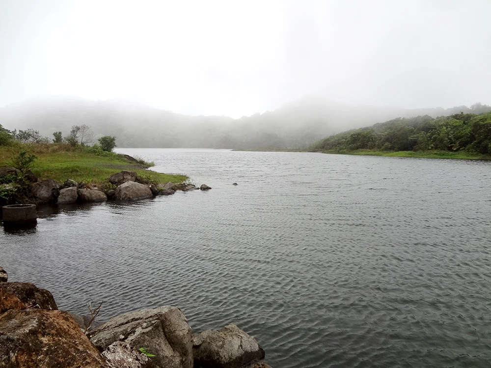
Freshwater Lake
Freshwater Lake offers a direct introduction to Dominica’s highlands, with cold water, mist and upland forest.
Explore the place →Places in context: profiles connected to our guides, maps, sources and verified photographs.
Freshwater Lake offers a direct introduction to Dominica’s highlands, with cold water, mist and upland forest.
Explore the place →Fualopa is an islet of Funafuti that hosts a colony of black terns. Birdwatching and respect for the nesting area are central to a visit connected with the conservation area.
Explore the place →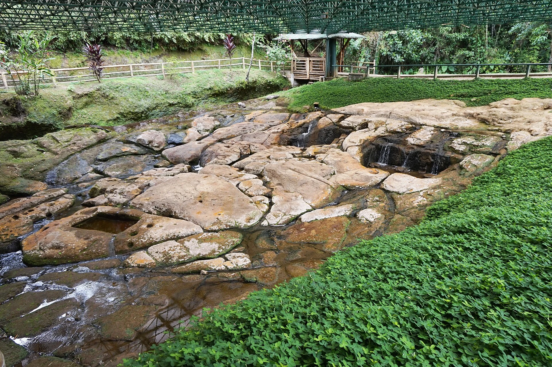
Fuente de Lavapatas is an archaeological site where carvings were made on the rocky bed of a stream. The visit focuses on the relationship between stone and water, with an uphill route toward Alto de Lavapatas.
Explore the place →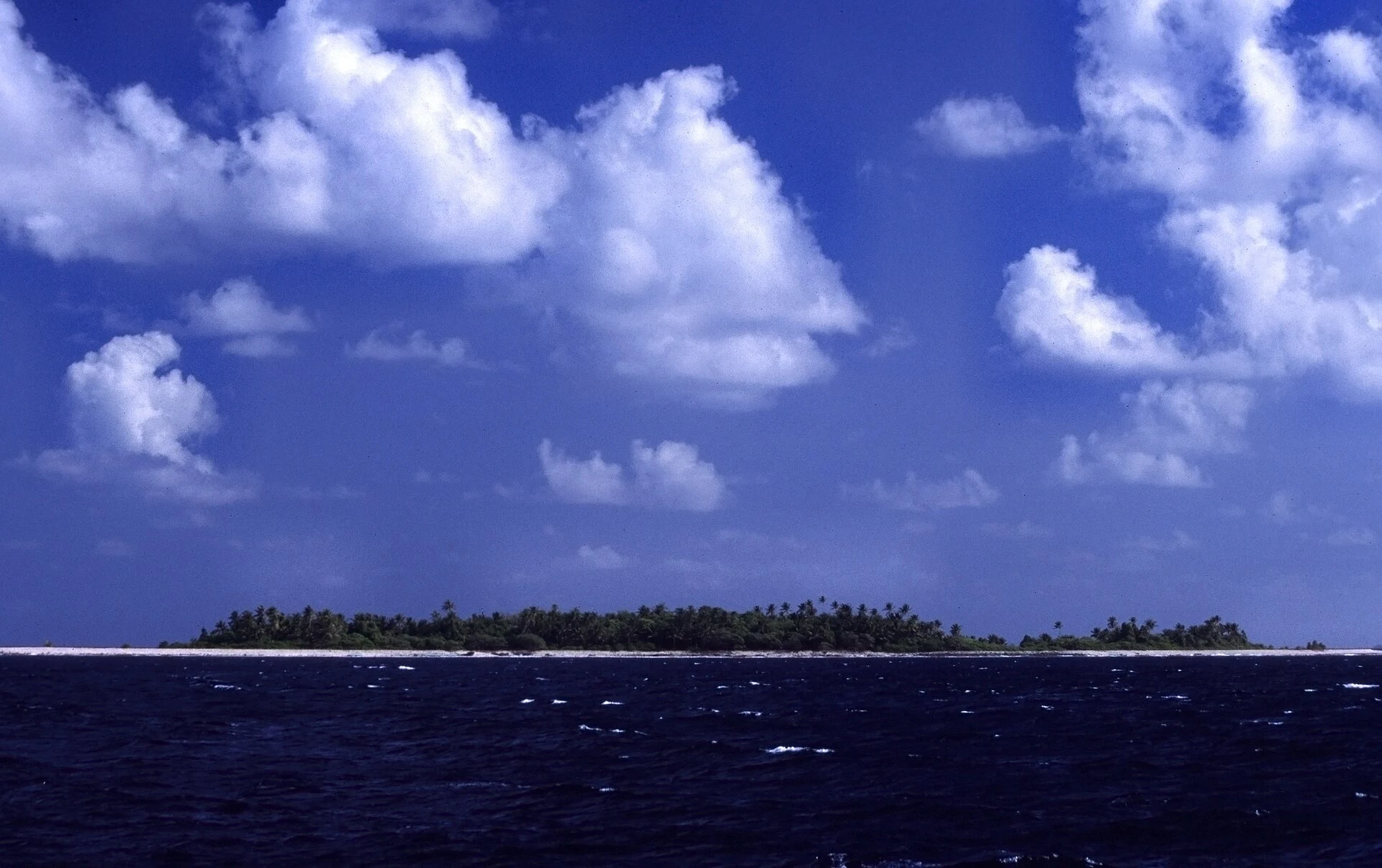
Funafuti is an atoll where daily life centres on Fongafale, while exploring the marine environment takes time and planning. Set aside separate days for the island and, if arranged, a boat visit to the conservation area.
Explore the place →The Funafuti Conservation Area lies on the western side of the atoll and includes reef, lagoon, channels and small motu. This protected area is visited by boat from Funafuti, subject to local arrangements and sea conditions.
Explore the place →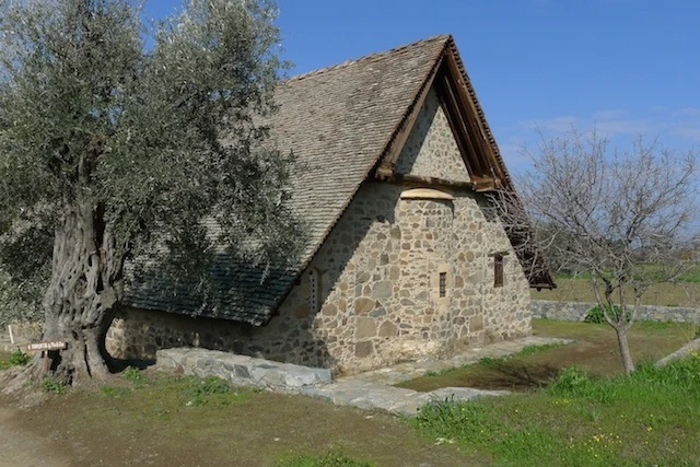
Galata is the local reference point for visiting Panagia Podithou, north of the village. The church offers an architectural and pictorial contrast with other stops on the Solea route.
Explore the place →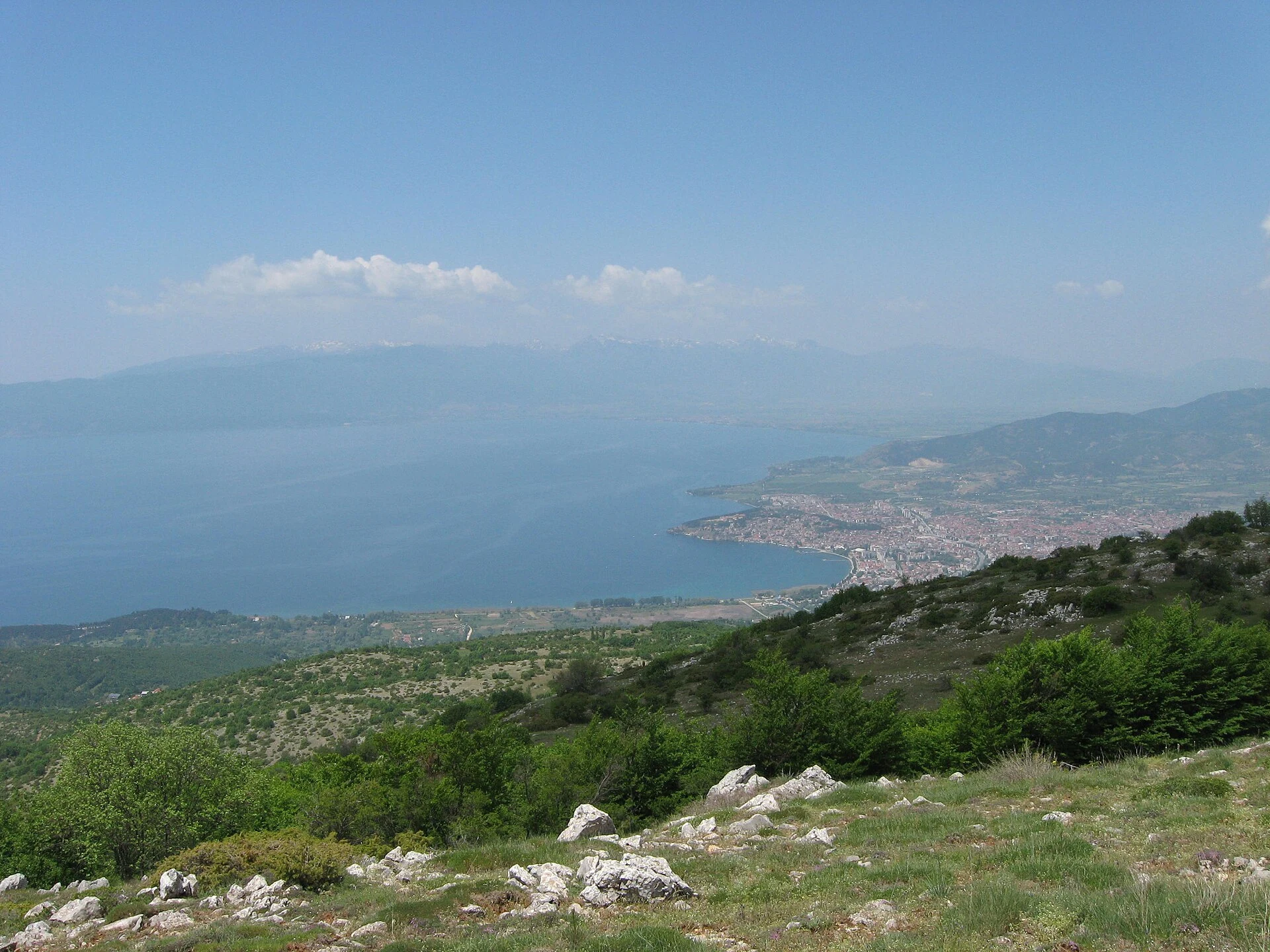
Galičica National Park lies between Lakes Ohrid and Prespa and offers marked routes of different kinds. Plan a mountain outing here as a full day, allowing for current notices and conditions.
Explore the place →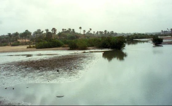
The Gambia River was a route for trade, violence, displacement and cultural contact. Its history helps explain the connections between riverside communities and places along its course.
Explore the place →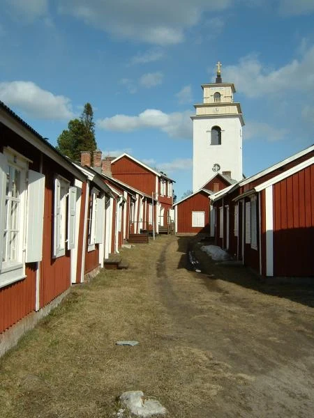
Gammelstad is a church town of narrow streets and wooden houses clustered around Nederluleå Church. Its houses show how people who lived far away could gather and stay overnight near the church.
Explore the place →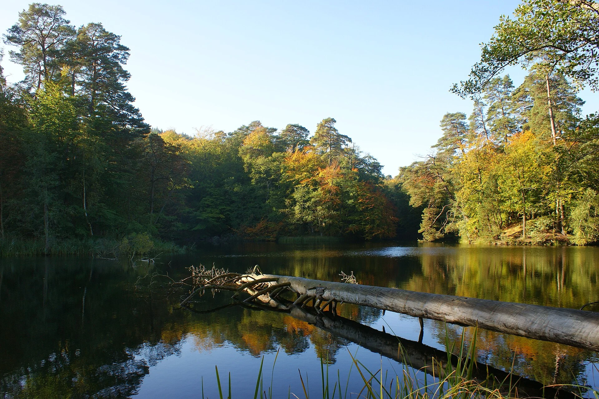
Lake Gardno is among the lakes seen from the Czołpino route in the coastal landscape of Słowiński National Park. The walk also crosses coastal pine forest and reaches the lighthouse and dunes.
Explore the place →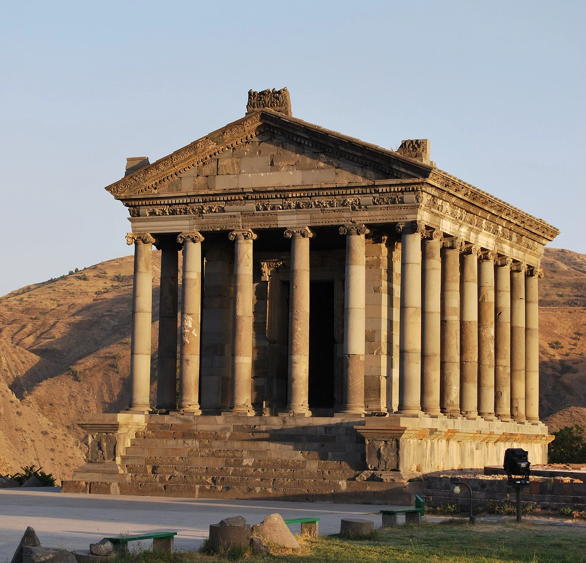
Garni combines a basalt archaeological site with the landscape of the Azat valley. Its temple, fortifications, Roman bath and mosaic are best understood as one complex, with the Symphony of Stones as an optional detour.
Explore the place →
Garni Temple is the monumental core of a basalt archaeological site that also preserves fortifications, palace buildings, a Roman bath and a mosaic. Its colonnade overlooks the gorge and is best viewed together with the wider setting and landscape.
Explore the place →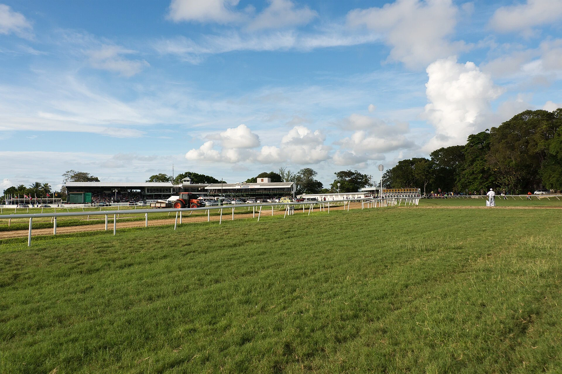
Garrison Savannah offers a different perspective on Barbados’s military past. Its buildings, roads and open spaces reveal an arrangement distinct from Bridgetown’s former port district.
Explore the place →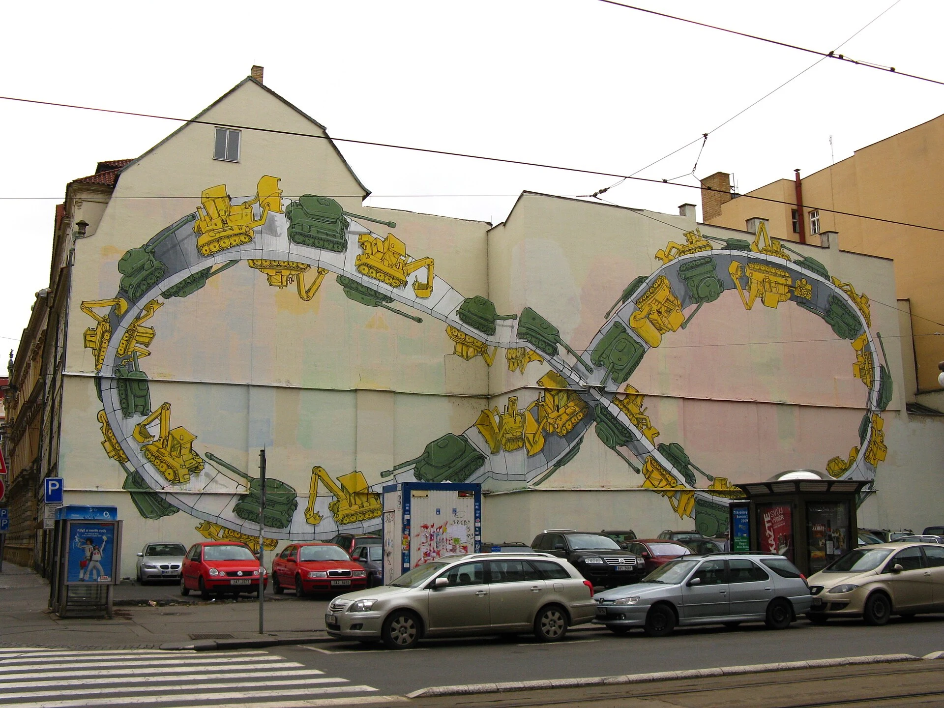
The Gaza Strip is not a destination suitable for tourism planning. The source recommends postponing recreational travel because of instability, changing restrictions and potential disruptions to movement. Conditions should be checked again before considering any future visit.
Explore the place →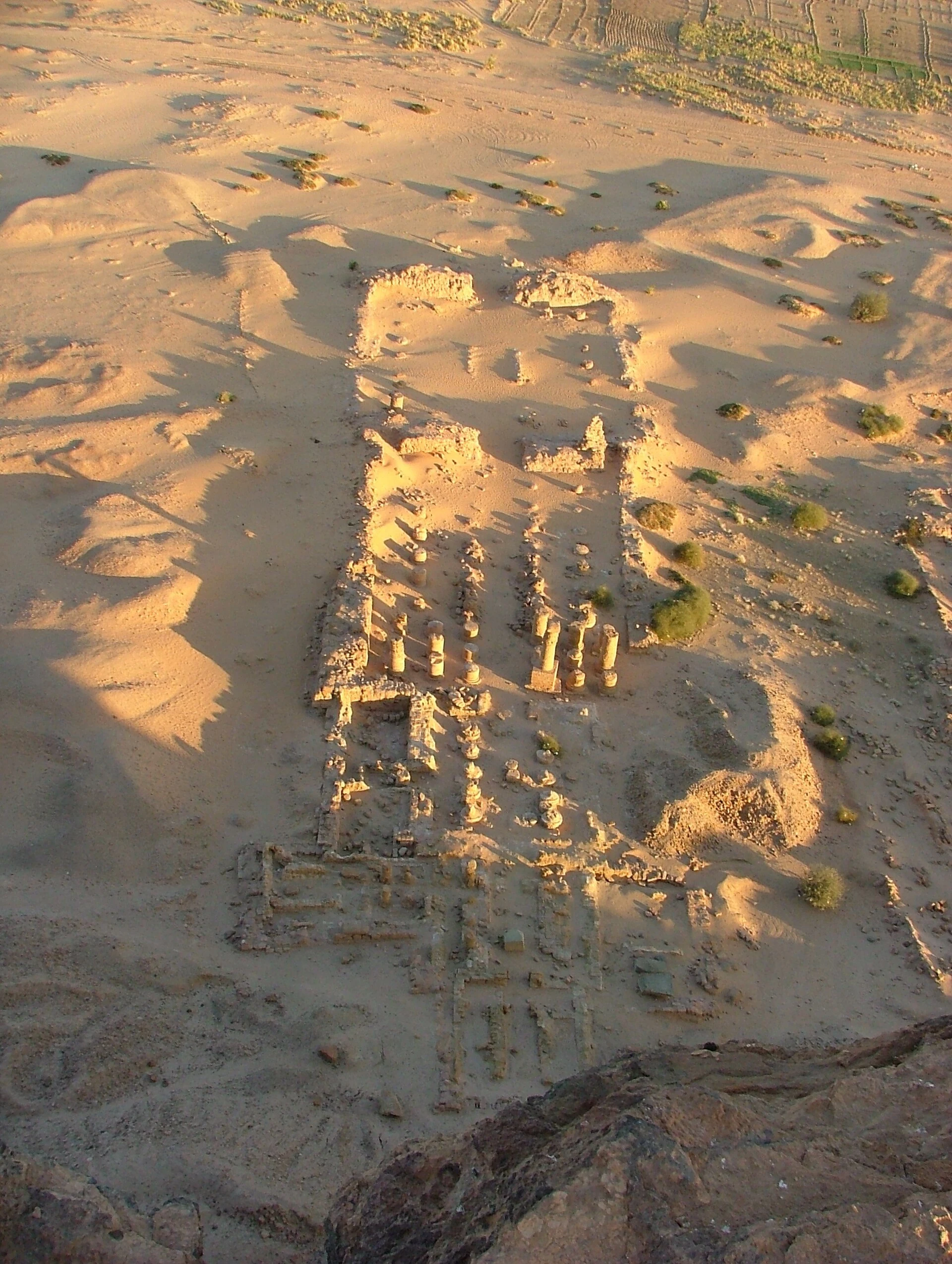
Gebel Barkal is named among Sudan’s culturally important archaeological landscapes. The article advises postponing tourist travel to the country while the conflict continues; a visit should wait.
Explore the place →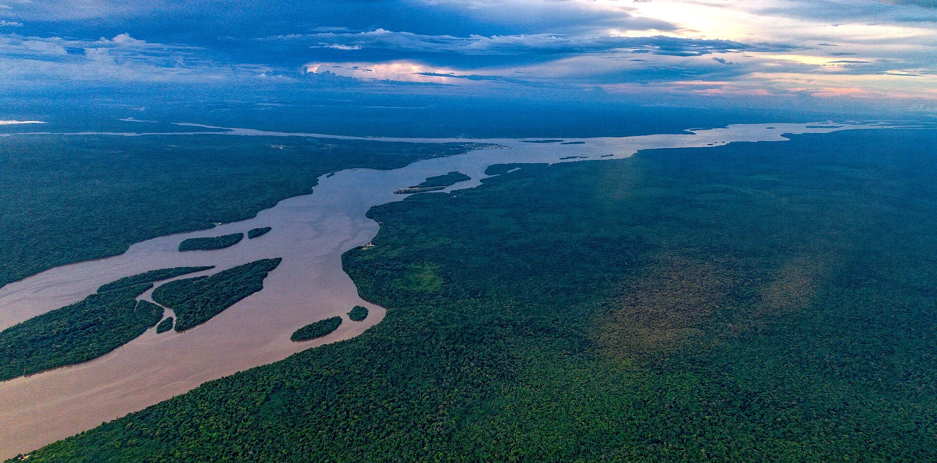
Georgetown is the departure point for reaching Iwokrama, a remote base whose journey takes much of a day. From the capital, arrange transport, luggage and connections in advance, while planning urban safety and night transfers separately.
Explore the place →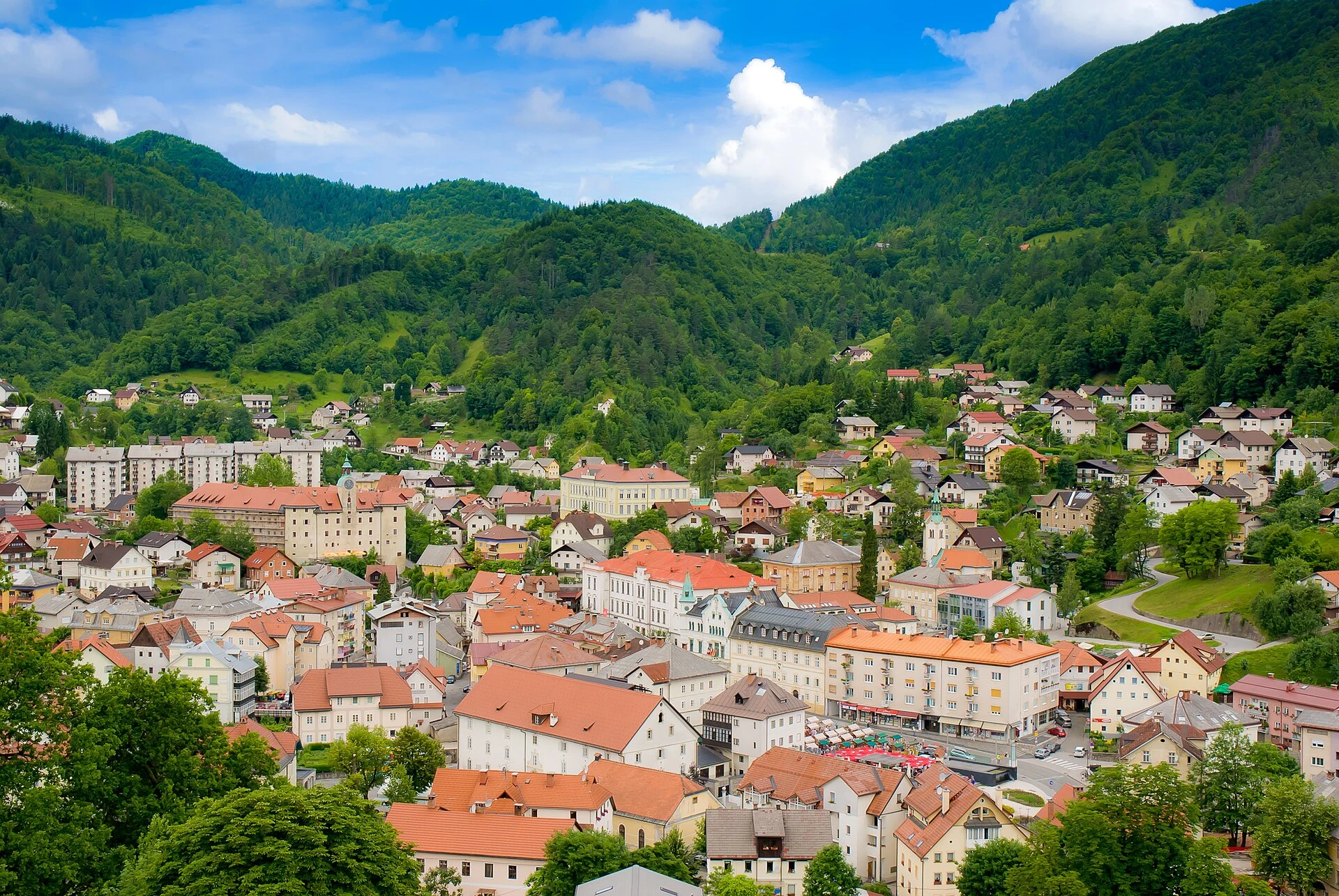
Gewerkenegg Castle connects Idrija’s mining history with local administration and bobbin lace. Its exhibitions show how mineral extraction and domestic craft shaped the same urban story.
Explore the place →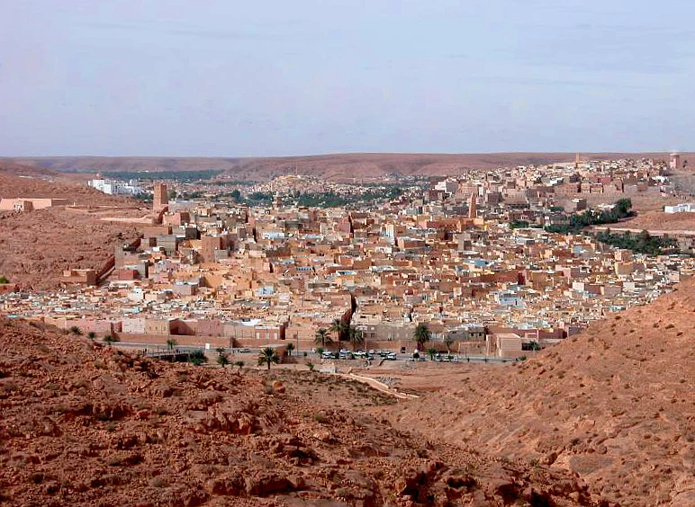
Ghardaïa is the largest urban centre among the five historic ksour of the M’Zab Valley. Its compact layout is best understood alongside the Ibadi communities, palm groves and water management of the surrounding landscape.
Explore the place →