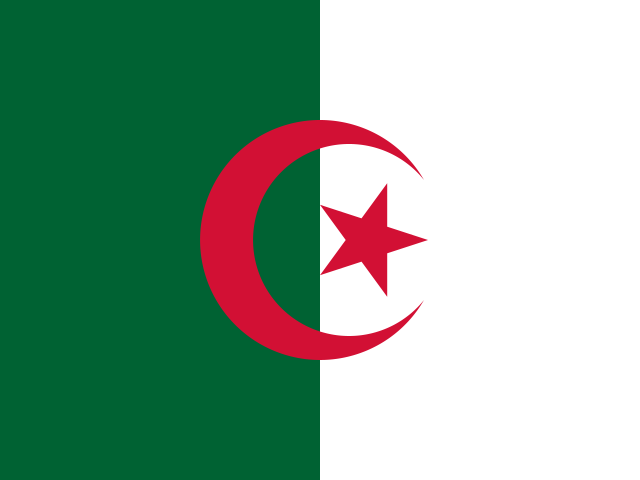
Algeria in North Africa, with Algiers as its capital
A starting-point guide to locating Algeria in North Africa and identifying its official reference points before planning details that require up-to-date sources.
Read guide →People's Democratic Republic of Algeria
All articles about the country, including other pages. Select a point to discover its guides.
If the map does not load, all guides remain available in this list.
Algiers is the capital of Algeria and a reference point for locating the country in North Africa. The available information identifies the city but does not describe its districts or attractions.
Explore the place →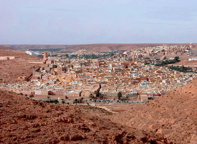
Beni Isguen is an inhabited ksar in the M’Zab, with narrow streets and an organised visitor route. Its layout and nearby palm grove reveal how urban life and water are connected in a semi-arid setting.
Explore the place →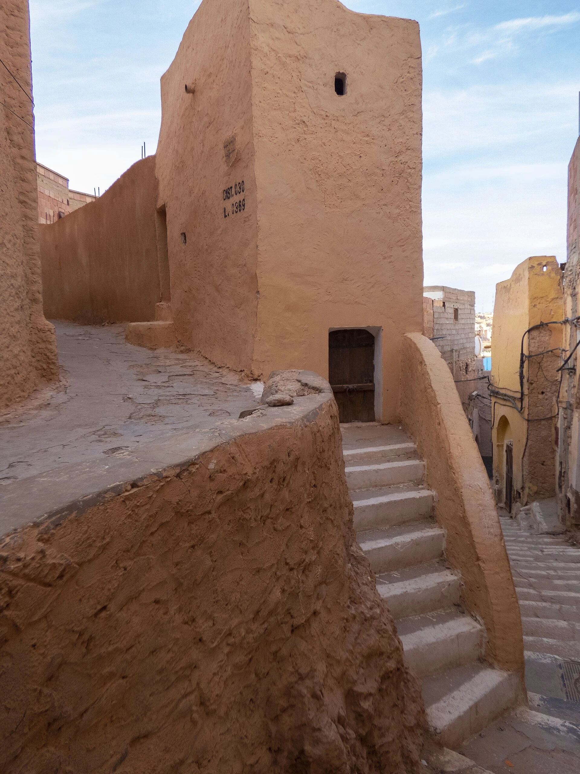
Bounoura is one of the five inhabited ksour of the M’Zab. Its streets and clustered homes form part of a shared urban landscape, where palm groves and water help explain the life of each settlement.
Explore the place →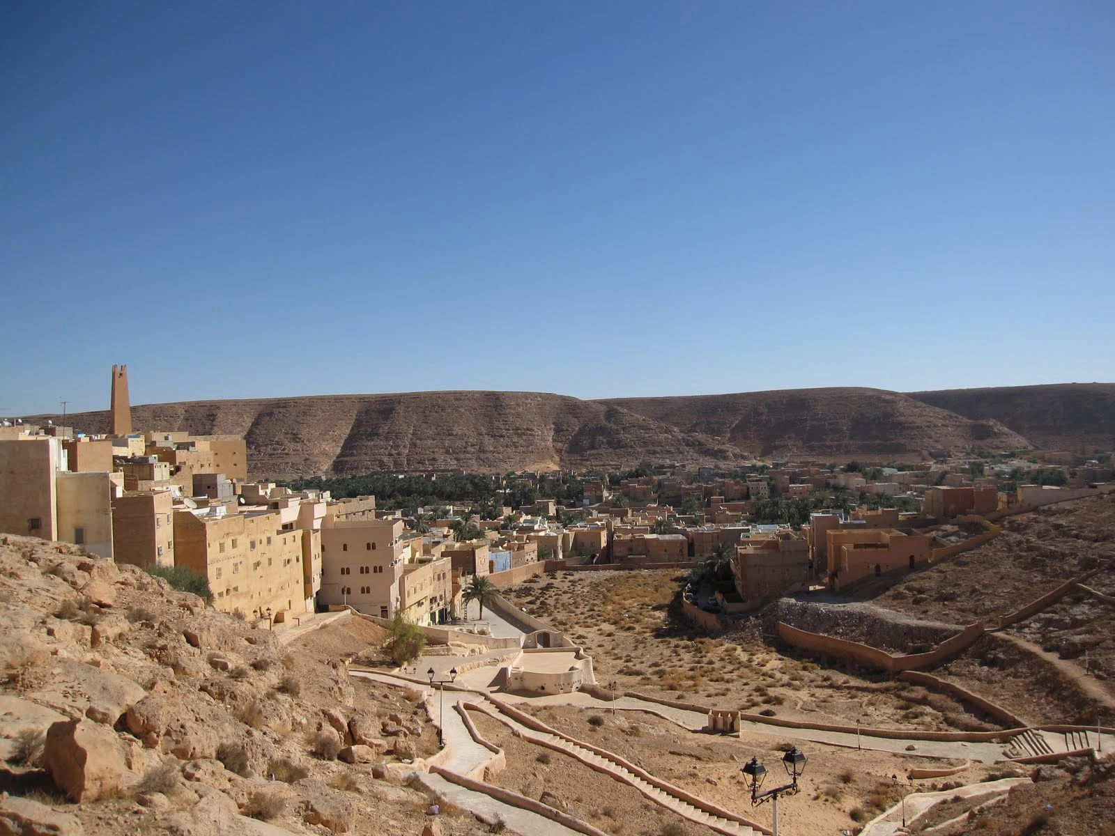
El Atteuf is one of the five inhabited ksour of the M’Zab Valley. Its layout offers a view of how the built settlement relates to a palm grove in a semi-arid setting.
Explore the place →
Ghardaïa is the largest urban centre among the five historic ksour of the M’Zab Valley. Its compact layout is best understood alongside the Ibadi communities, palm groves and water management of the surrounding landscape.
Explore the place →