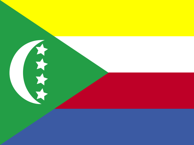
Comoros: a first guide to planning your trip
A clear overview to help you locate the Comoros, identify the basics and see which travel details still need checking.
Read guide →Union of the Comoros
All articles about the country, including other pages. Select a point to discover its guides.
If the map does not load, all guides remain available in this list.
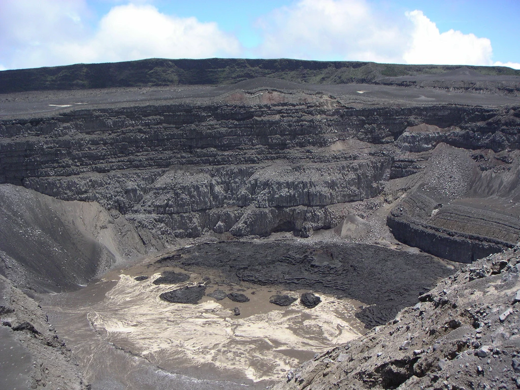
Grande Comore, also called Ngazidja in the article, ranges from inhabited settlements to Karthala’s forested slopes and high-altitude terrain. Volcanic activity and conditions on the day determine whether an ascent is advisable.
Explore the place →Itsamia is a coastal area of Mohéli associated with sea-turtle reproduction. Visiting calls for patient observation, a local guide and flexibility, since activities, sea conditions and access can change.
Explore the place →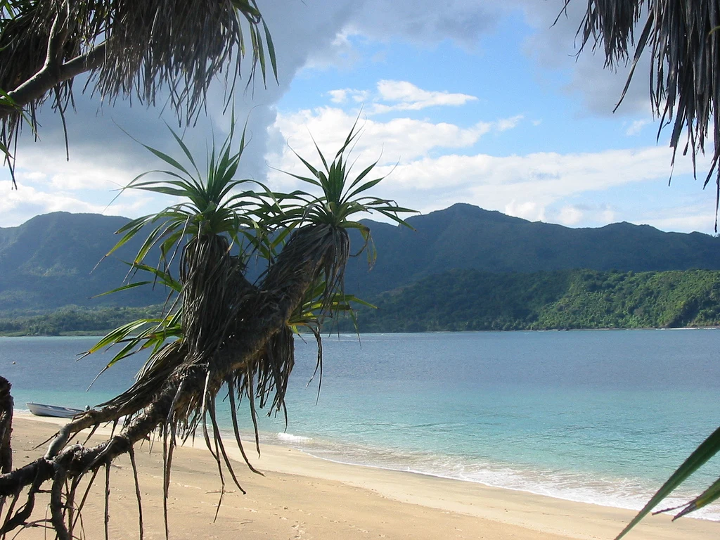
Mohéli National Park protects coastal environments, forests and watersheds on an island where conservation is organized with local communities. Visiting requires time to adapt plans to sea conditions, roads and local availability.
Explore the place →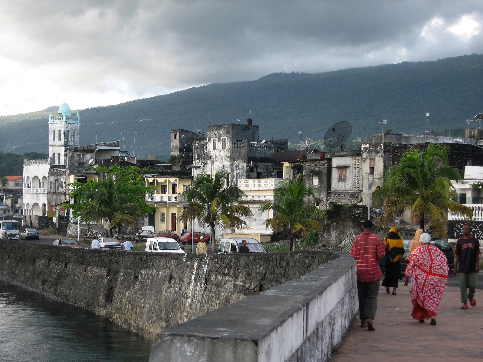
Moroni is the capital of Comoros and a base for arranging contacts, cash, accommodation, and an early departure toward the Karthala massif. The available information does not confirm current flights, connections, or services.
Explore the place →
Karthala is an active volcano rising to about 2,350 metres on Grande Comore. Its slopes extend from humid forest to high-altitude vegetation and a large caldera; volcanic activity and conditions on the day determine whether an ascent is advisable.
Explore the place →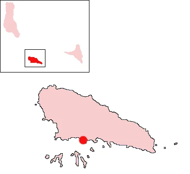
Nioumachoua is a useful base for approaching the work of Mohéli National Park and the southern islets. Trips from its surroundings can reach islets and reefs, but depend on the boat, sea conditions and local organization.
Explore the place →