
Explore/Oceania
NZL · Oceania

New Zealand

New Zealand

CapitalWellington
RegionAustralia and New Zealand
CurrencyNZD
Official languagesEnglish, Māori, New Zealand Sign Language
Access to the seaYes
Travel atlas

Explore New Zealand on the map

All articles about the country, including other pages. Select a point to discover its guides.

2 articles
Bridge to Nowhere
New Zealand · Place of interest

Bridge to Nowhere

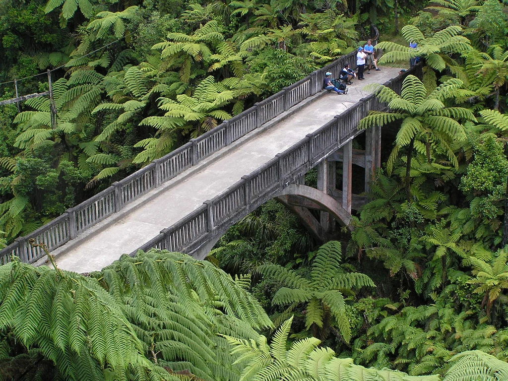
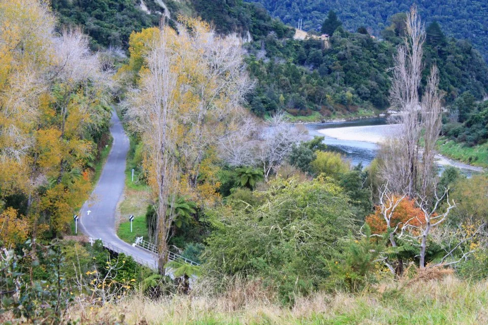
Bridge to Nowhere is connected to the history of the former farming settlement in Mangapurua Valley. The 3 km return walk from Mangapurua Landing takes around an hour and a half, adding time to a canoeing day.

Explore the place →
Fern Gully
New Zealand · Place of interest

Fern Gully

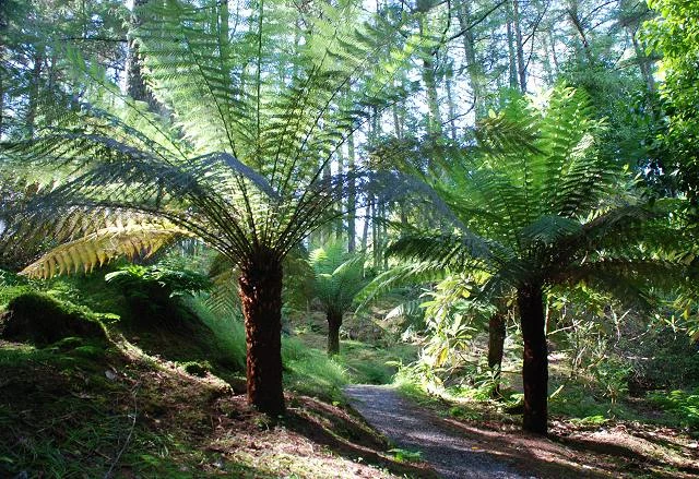
Fern Gully marks the end of the Rakiura Track’s final stage from North Arm: about 11 km, usually taking four to four and a half hours. From there, roughly 2 km of road remain before returning to Oban.

Explore the place →
Rakiura Track entrance at Lee Bay with the chain-link sculpture and coast.
New Zealand · Place of interest

Lee Bay

Lee Bay is the starting point of the usual Rakiura Track route on Stewart Island/Rakiura. From Oban, it can be reached by walking along the road, an additional journey of about 5 km, before continuing towards Port William.

Explore the place →
Oban
New Zealand · City or town

Oban

Oban, also known as Halfmoon Bay, is the practical settlement base for walking the Rakiura Track on Stewart Island/Rakiura. The route plan starts from here towards Lee Bay and returns to Oban after the hike.

Explore the place →
Pipiriki
New Zealand · City or town

Pipiriki

Pipiriki is the destination of the full canoe route from Taumarunui and of the 88 km Whakahoro section, usually completed over three days.

Explore the place →
Port William
New Zealand · Place of interest

Port William

Port William/Potirepo is a stop on the Rakiura Track associated with Māori settlements and provisioning camps. The stage from here to North Arm is about 13 km and takes longer to complete, especially when prolonged rain leaves deep mud.

Explore the place →
Maori Beach with native forest and coastline on the Rakiura Track.
New Zealand · Region or area

Stewart Island

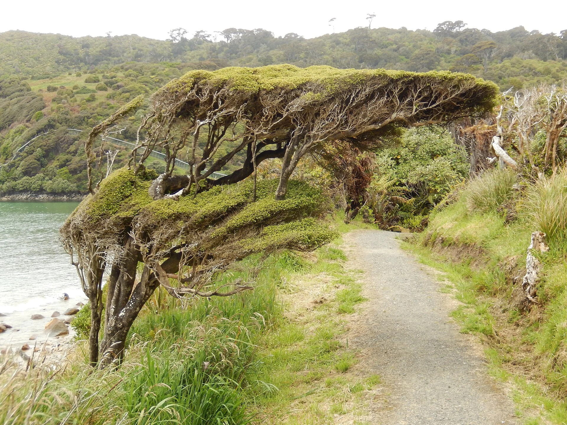
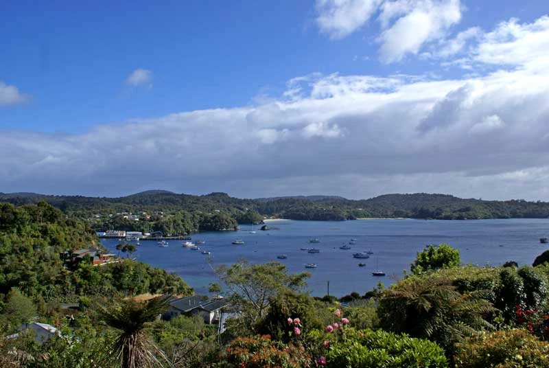
Stewart Island, also known as Rakiura, is the island setting for the Rakiura Track, whose circuit crosses exposed coast, rimu and kāmahi forest, and the sheltered waters of Paterson Inlet/Whaka a Te Wera.

Explore the place →
Taumarunui
New Zealand · City or town

Taumarunui

Taumarunui is the starting point of the full Whanganui canoe route, which covers 145 km to Pipiriki and usually takes about five days.

Explore the place →
Tīeke Kāinga
New Zealand · Place of interest

Tīeke Kāinga

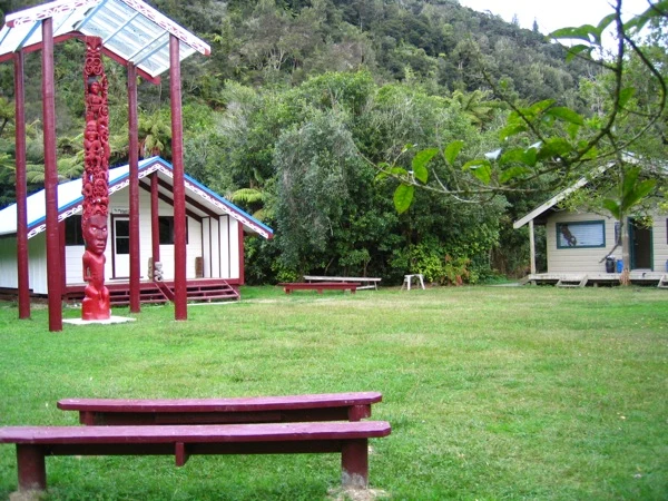
Tīeke Kāinga is an operating marae and an overnight stop on the Whanganui Journey. Visitors should follow the site's protocol and treat the river and its surroundings with cultural consideration.

Explore the place →
Whakahoro
New Zealand · Place of interest

Whakahoro

Whakahoro is the last road access before Pipiriki and the starting point for an 88 km section of the Whanganui Journey, usually completed in three days by canoe.

Explore the place →
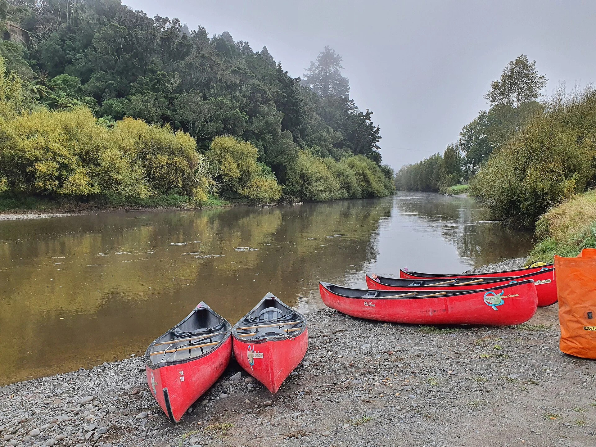
Loaded canoes travel through a forested gorge on the Whanganui River.
New Zealand · Region or area

Whanganui River

The Whanganui River offers a multi-day canoe journey through gorges, rapids and remote campsites. The route calls for self-reliance and sustained effort, as well as respect for Te Awa Tupua’s cultural and legal significance.

Explore the place →
New Zealand

Guides to this destination