Sri Lanka: Start with the Map, Colombo and the Languages
A first guide to locating Sri Lanka in South Asia and reviewing the basics before choosing a route.
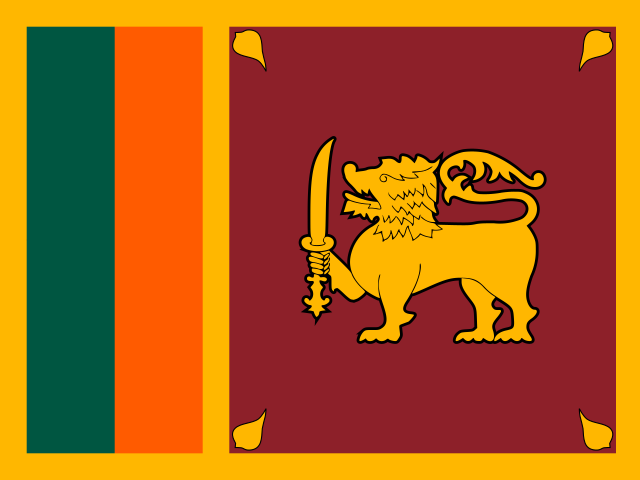
Read guide →Democratic Socialist Republic of Sri Lanka
All articles about the country, including other pages. Select a point to discover its guides.
If the map does not load, all guides remain available in this list.
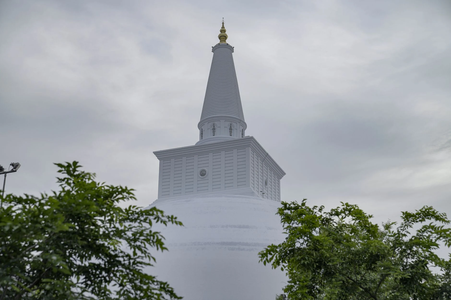
For around 1,300 years, Anuradhapura was a centre of power and religion. Its ancient city is best understood in layers: monasteries, stupas, reservoirs, hydraulic systems and urban remains that require time and travel between sectors.
Explore the place →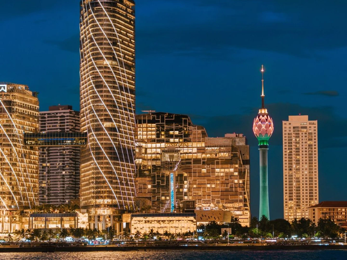
Colombo is the capital of Sri Lanka and is listed as a locality in Western Province. These facts locate the city, but the available information does not describe its neighbourhoods, sights or current services.
Explore the place →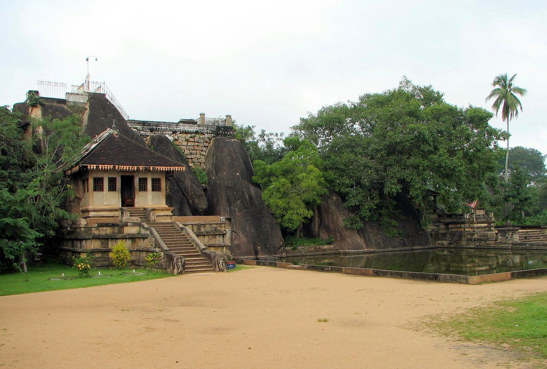
Isurumuniya is a rock-cut temple within Anuradhapura’s sacred area. It can be added to the first day’s route, particularly for its reliefs and close observation of its steps, guard stones and sculptures.
Explore the place →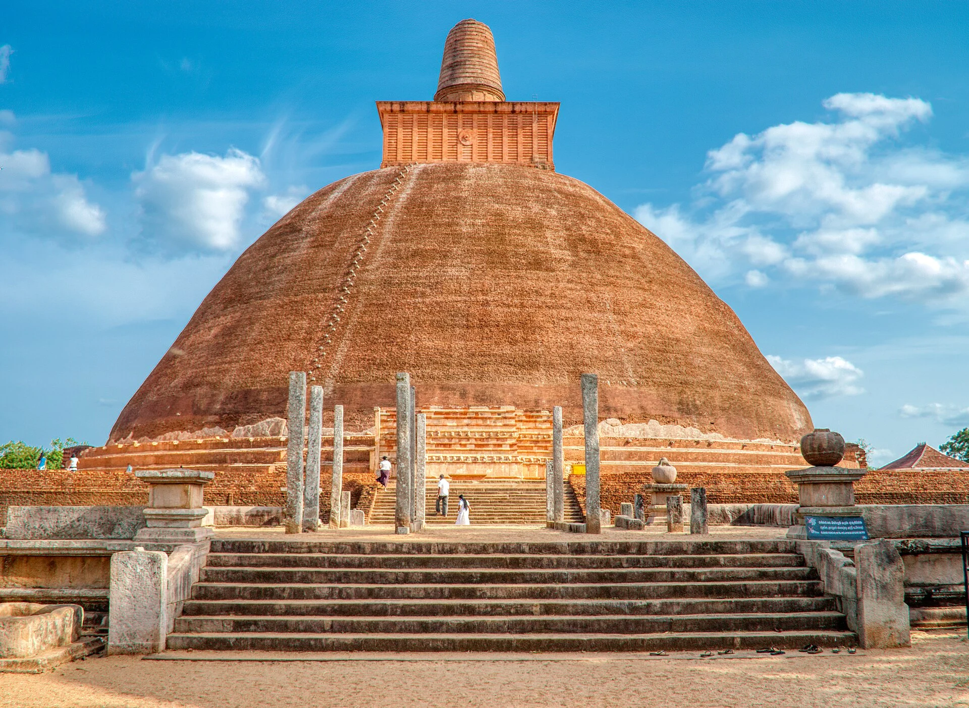
Jetavanaramaya forms part of Anuradhapura’s extensive monastic landscape. Visiting it helps compare the architectural scale and religious organization of this former centre of power, together with Abhayagiri and the Kuttam Pokuna ponds.
Explore the place →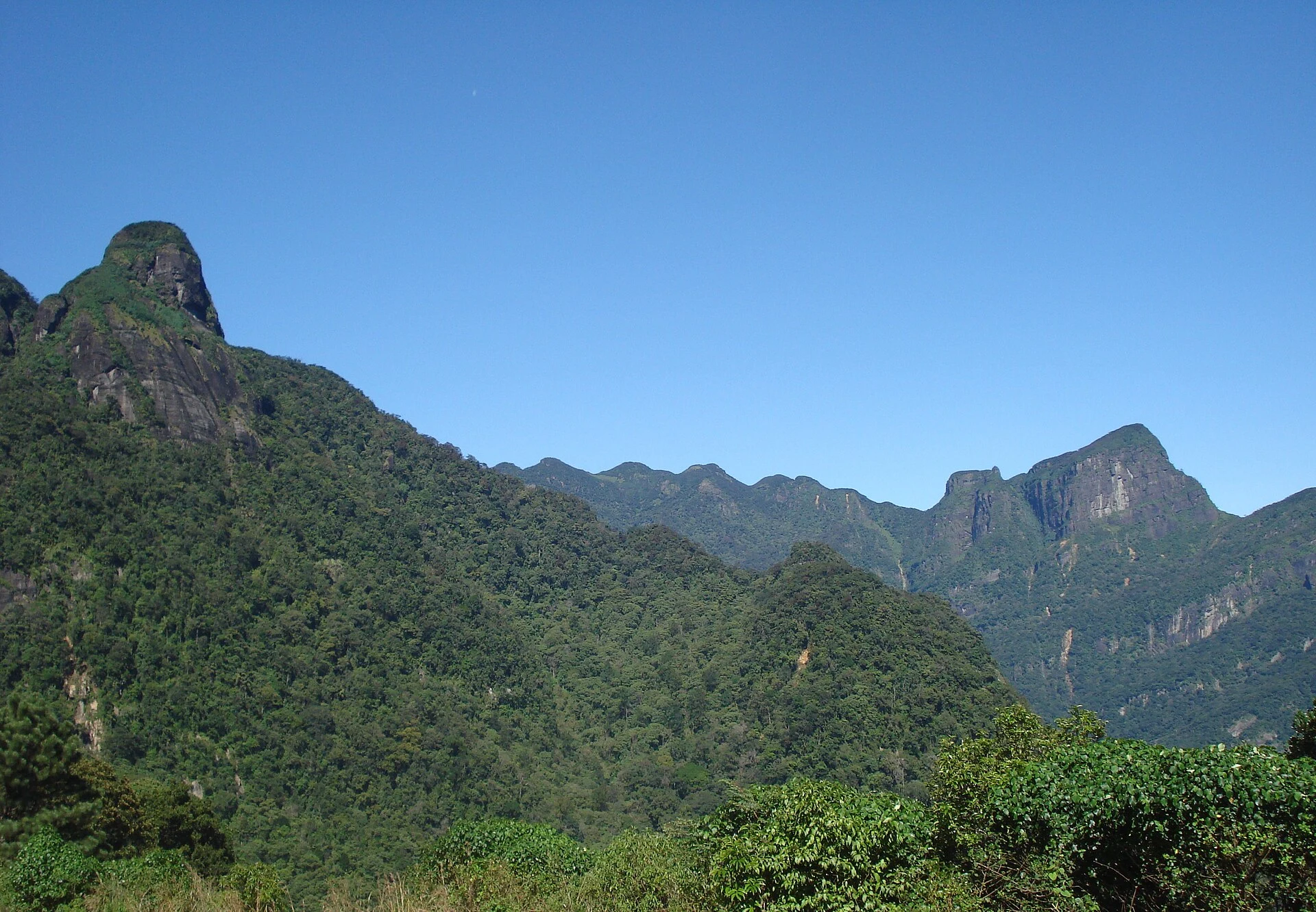
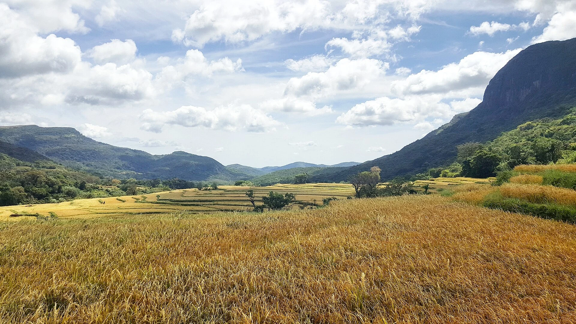
Knuckles Mountain Range is a mountainous area of Sri Lanka shaped by forests, grasslands, valleys and shifting mist. Deanston provides structured walks such as Dothalugala, while Riverston and Pitawala Pathana offer shorter, more exposed routes; remote trails require planning and sometimes a local guide.
Explore the place →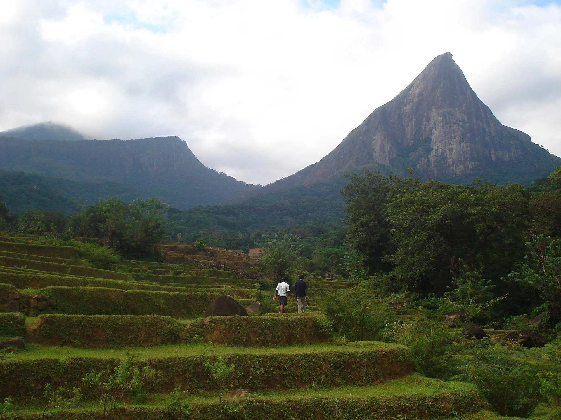
Lakegala is a mountain in Knuckles associated with a demanding ascent. The provincial tourism authority describes it as difficult and recommends using a local guide, especially before tackling a remote route with mist, dense forest or unclear trails.
Explore the place →Lovamahapaya, known as the Bronze Palace, belongs to Anuradhapura’s sacred core alongside Sri Maha Bodhi and Ruwanweliseya. It helps explain the relationship between devotion, monastic community and monumentality within an extensive historic city.
Explore the place →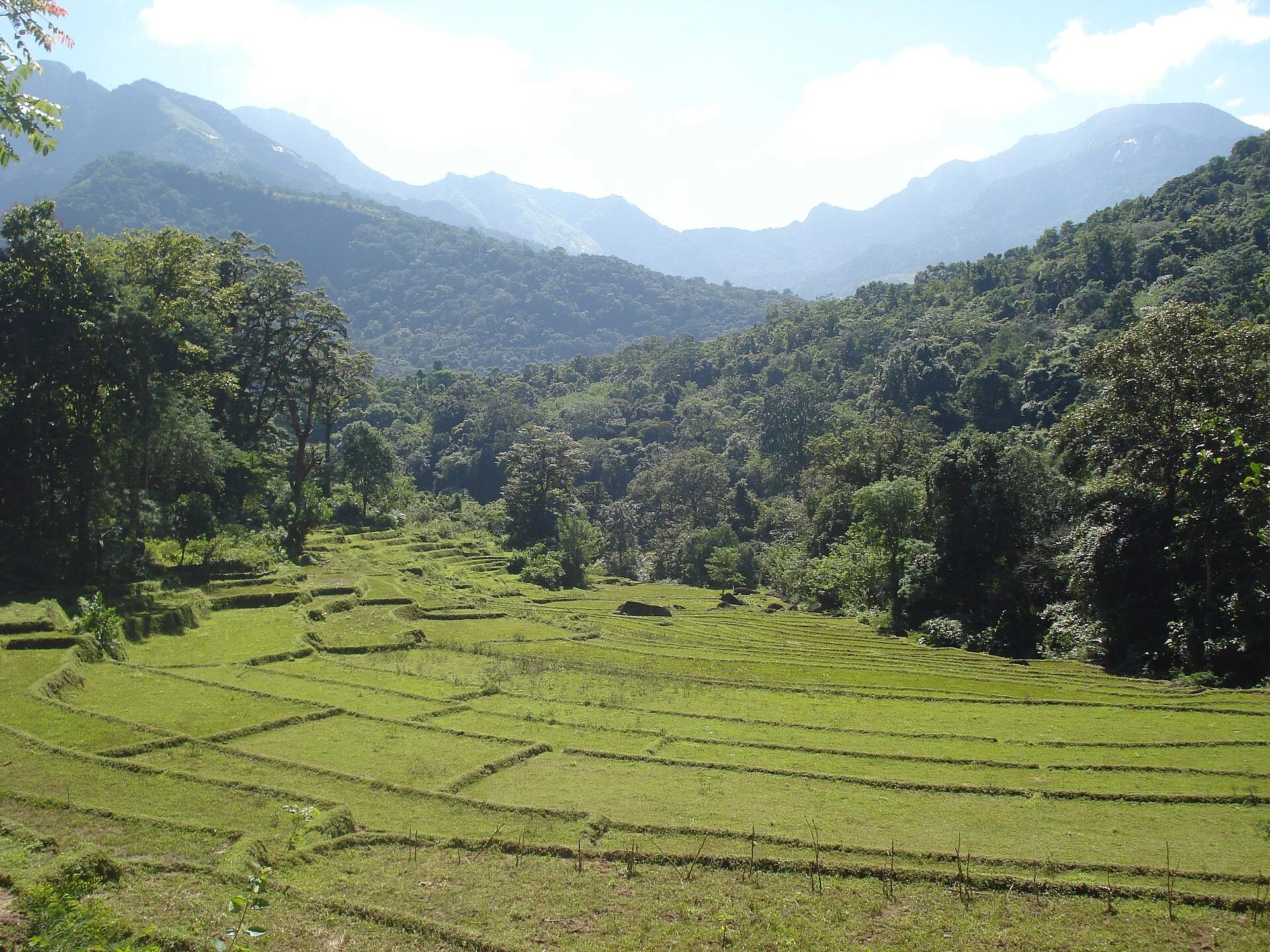
Meemure is mentioned as one of the villages reached by remote, multi-day traverses in Knuckles. Reaching it requires planning transport, accommodation, food, return arrangements and weather conditions before setting out.
Explore the place →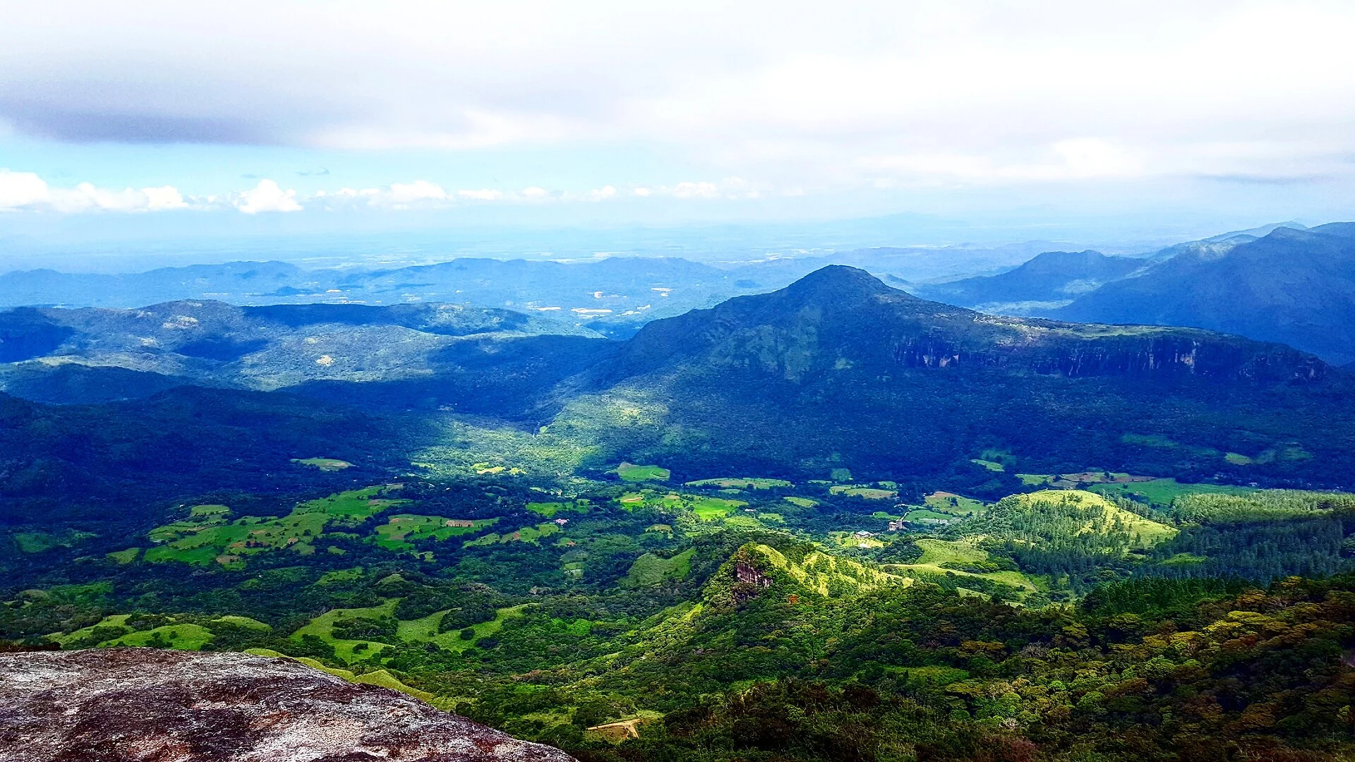
Mini World’s End is a panoramic walk associated with the Deanston access in the Knuckles massif. It leads to an elevated edge where mist can obscure the views and wet ground can slow the walk.
Explore the place →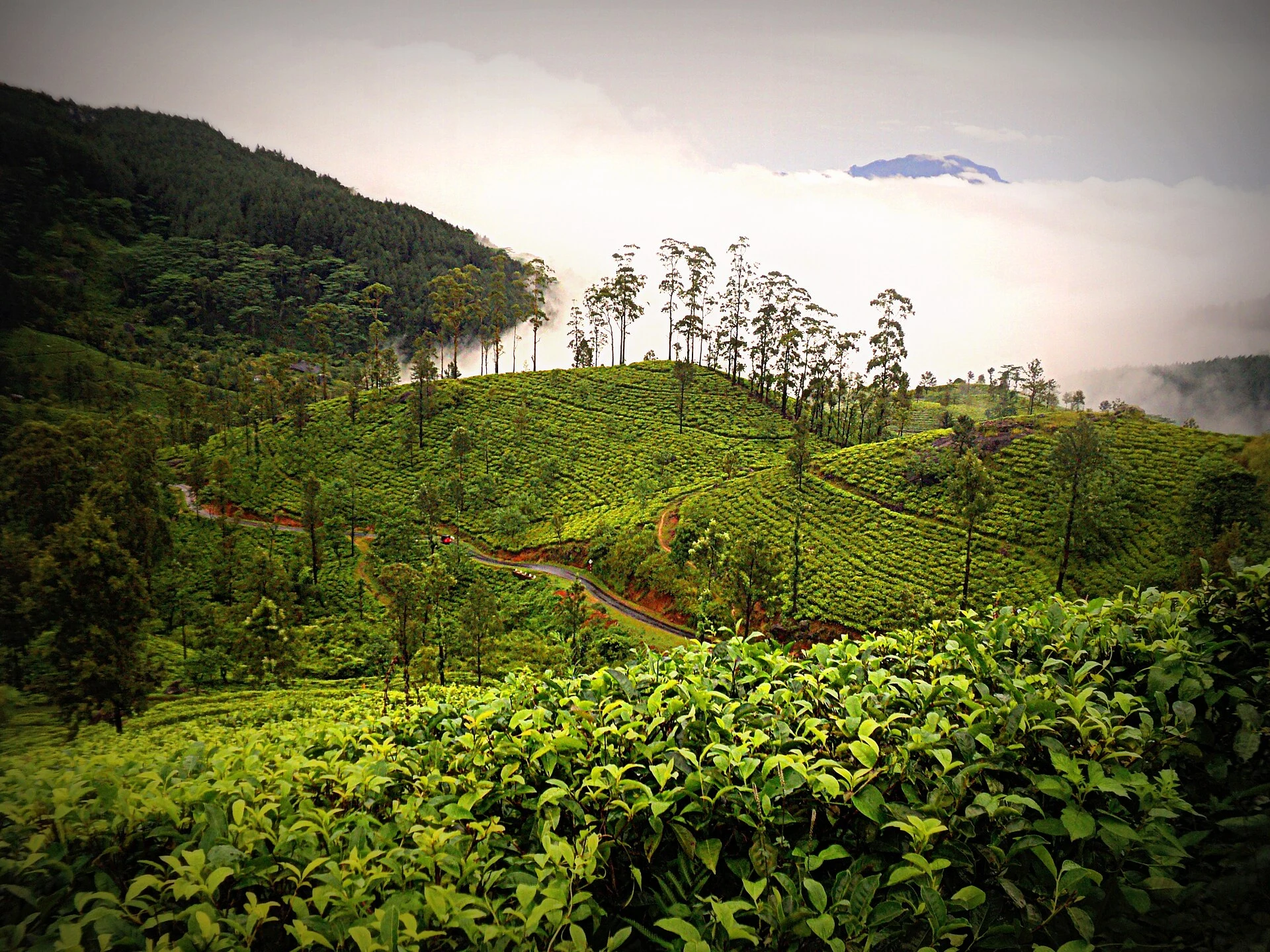
Pitawala Pathana offers high grasslands and a viewpoint over the Thelgamu valley. The route to Riverston Peak is about 2.5 kilometres, but it ends at a steep drop and calls for care near the edge.
Explore the place →
Ruwanweliseya is a major dagoba in Anuradhapura’s sacred area, associated with Buddhist pilgrimage. It forms part of the core that also includes Sri Maha Bodhi and Lovamahapaya, and calls for respectful conduct, time and attention to religious rules.
Explore the place →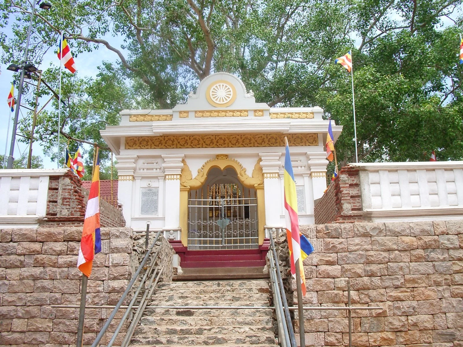
Sri Maha Bodhi is a pilgrimage site in Anuradhapura’s sacred core. It is visited alongside Ruwanweliseya and Lovamahapaya and calls for respectful behaviour, modest clothing and attention to the site’s rules.
Explore the place →