Sri Lanka · Central Highlands
Knuckles from Deanston and Riverston: how to choose the right hike
Two access points, two different paces and one important decision: in Knuckles, choose a specific hike before booking accommodation or transport.
Conditions described in the guide: confirm current requirements and access with the official source before travelling.
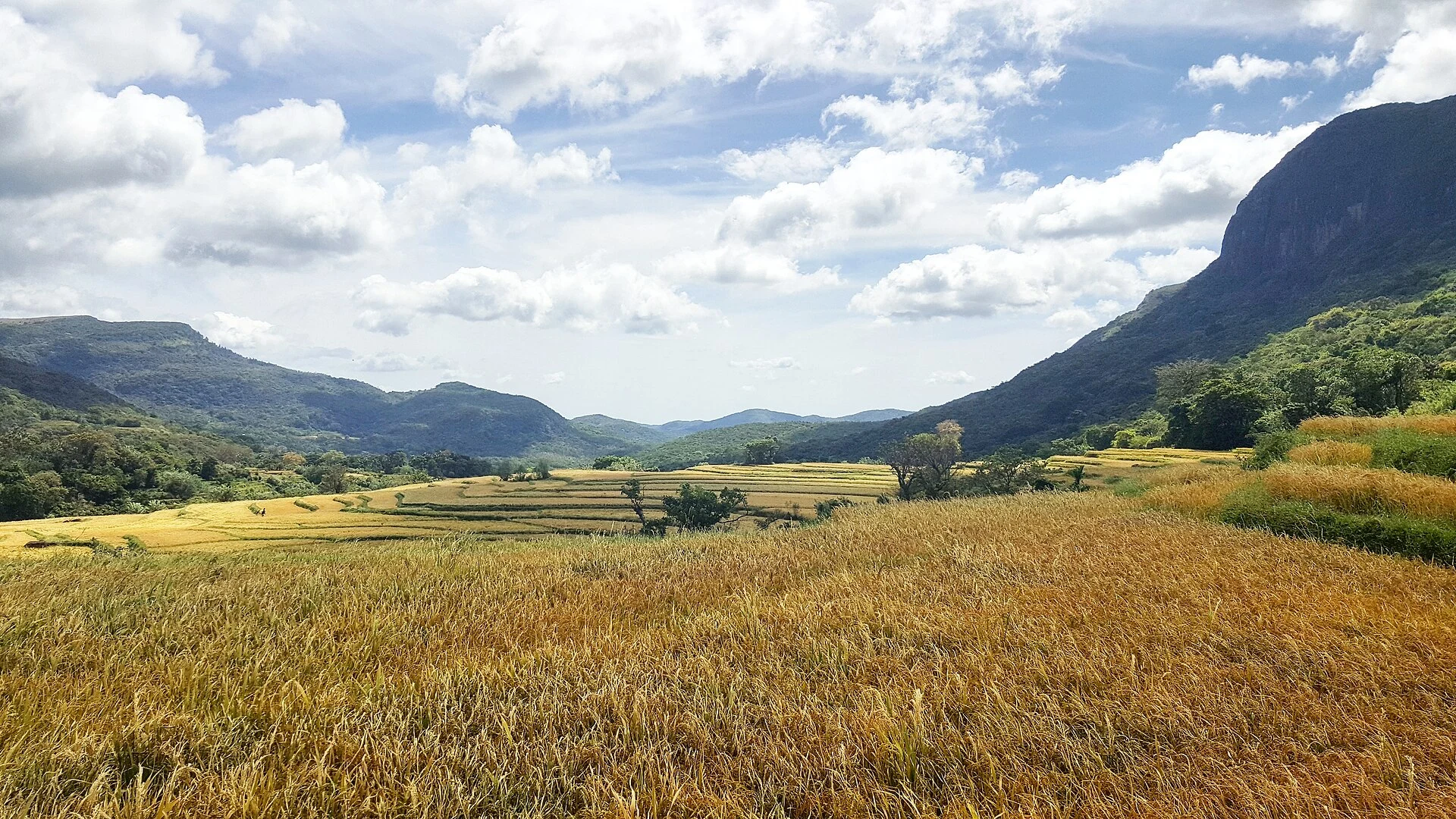
The Knuckles massif is neither a park with a single entrance nor an interchangeable day trip from Kandy. It is a vast mountain area where fog, changes in elevation and access roads can completely reshape the day. The useful decision is to choose between short trails with viewpoints and more remote outings that require planning, navigation and generous time buffers.
The area forms part of Sri Lanka’s Central Highlands, recognised for their montane forests and concentration of endemic species. That does not guarantee sightings or clear skies: Knuckles is best experienced by walking slowly through forests, grasslands and valleys, accepting that the landscape may appear and disappear with the clouds.
Deanston: the clearest option for a first day
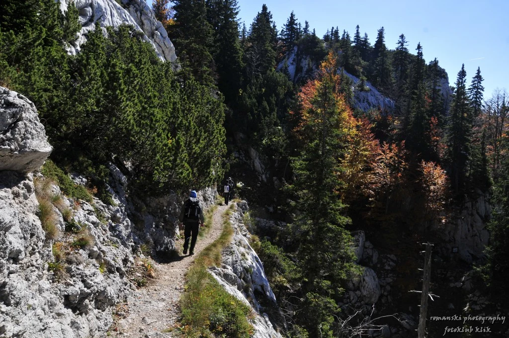
If you are looking for a concentrated mountain experience, Deanston is the easiest access point to understand. The walk to Mini World’s End and the Dothalugala trail start near the information centre; both offer a sense of the massif’s scale without requiring a traverse between villages.
The appeal here is not collecting summits. Mini World’s End leads to a panoramic escarpment, while Dothalugala combines climbing, mountain vegetation and unhurried observation. Provincial tourism information describes Dothalugala as a walk of around five kilometres and four hours, so it is best treated as the day’s main activity, not a quick stop. Fog can erase the views, and wet ground changes the pace: bring water, leech protection, a waterproof layer and grippy footwear.
Deanston works best for travellers with a private vehicle, a car and driver, or an organised transfer. Do not base your plan on arriving late and completing both routes: save energy for the return before the light fades and for a mountain road that may be slow.
Riverston and Pitawala Pathana: open scenery, but not a shortcut
The Riverston and Pitawala Pathana access is appealing if you prioritise high grasslands and a viewpoint over the Thelgamu Valley. The route towards Riverston Peak from Pitawala Pathana is presented as a short walk of around 2.5 kilometres, but its brevity does not remove the risk of a fall: the so-called Mini World’s End ends at a steep drop.
This area suits a visual half-day, not a replacement for a forest traverse. The contrast with Deanston is useful: here there is more exposure to wind and a more open landscape; at Deanston, the interest is more closely tied to the trail and forest. Keep a safe distance from the edge, especially in fog, rain or with children, and do not turn a photo stop into an off-trail excursion.
Riverston can be combined with other points in the range, but adding waterfalls, viewpoints and a long hike to one day usually means more time in the car than in the mountains. Choose one main objective and keep the rest as alternatives, not obligations.
When a more remote route makes sense
Knuckles also accommodates multi-day traverses and demanding ascents, including itineraries towards villages such as Meemure or mountains such as Lakegala. These are options for travellers who have already arranged transport, accommodation, food, the return journey and weather conditions—not a spontaneous extension of a trip from Kandy.
Lakegala deserves particular caution: the provincial tourism authority describes it as a difficult climb and recommends going with a local guide rather than attempting it alone. That is a useful rule for any route combining dense forest, water crossings, persistent fog or indistinct trails. Someone familiar with the terrain provides navigation, but does not remove the physical effort or make a bad-weather day safe.
For a first visit, it is better to complete one marked route properly and keep time in hand for the journey back. Linking summits may be reasonable on a longer stay; over a weekend, it is usually wiser to prioritise one specific hike and a nearby base.
A living landscape that calls for a low-impact visit
The massif’s traditional local name, Dumbara Kanduvetiya, refers to a mountain range covered in mist. This is not just scenery: Knuckles’ forests and grasslands form an important watershed and support exceptional biological diversity. Staying on the trail, keeping noise down and taking all waste with you are practical ways to avoid adding pressure to a fragile environment.
Do not use loudspeakers, feed animals or chase birds and reptiles for photographs. If a pool, waterfall or stretch of river seems busier than expected, the responsible choice is to shorten the stop rather than look for improvised access through the vegetation. Hikes also cross or approach agricultural landscapes and villages: ask permission before photographing people, homes or everyday work.
The value of the place does not depend on reaching every viewpoint. Reading the terrain slowly, along with its moisture and shifts in vegetation, offers a truer experience than racing to tick off points on a map.
What to confirm before setting out
Trail availability, permits, local accompaniment, road conditions, rain and access hours are changeable details. Confirm them shortly before setting out with the organisations that manage or provide information about the area; do not rely on old prices, opening hours or requirements published by third parties.
Information to check before the trip:
- UNESCO World Heritage Centre: the entry for Sri Lanka’s Central Highlands and the boundaries of Knuckles Conservation Forest.
- Central Province Tourism Department: hiking information for Deanston, Dothalugala, Riverston, Pitawala Pathana and Lakegala.
- Sri Lanka Tourism Development Authority: current criteria and guidance for adventure activities and registered operators.
References consulted during editorial review. Times, requirements and advisories may change: always confirm with the official source.
- https://whc.unesco.org/en/list/1203 whc.unesco.org
- https://whc.unesco.org/en/list/1203/maps/ whc.unesco.org
- https://whc.unesco.org/document/103462 whc.unesco.org
- https://whc.unesco.org/archive/2010/whc10-34com-inf.8B2e.pdf whc.unesco.org
- https://whc.unesco.org/uploads/nominations/1203.pdf whc.unesco.org
- https://whc.unesco.org/en/list/1203/assistance/ whc.unesco.org
- https://whc.unesco.org/en/search/?criteria=knuckle+wea whc.unesco.org
- https://whc.unesco.org/en/statesparties/lk whc.unesco.org