Armenia · Tavush
Dilijan and Parz Forest to Goshavank on Foot
A day of forest and medieval heritage in Dilijan requires choosing the right distance: the short walk beside the lake or the mountain trek to Goshavank Monastery.
Conditions described in the guide: confirm current requirements and access with the official source before travelling.
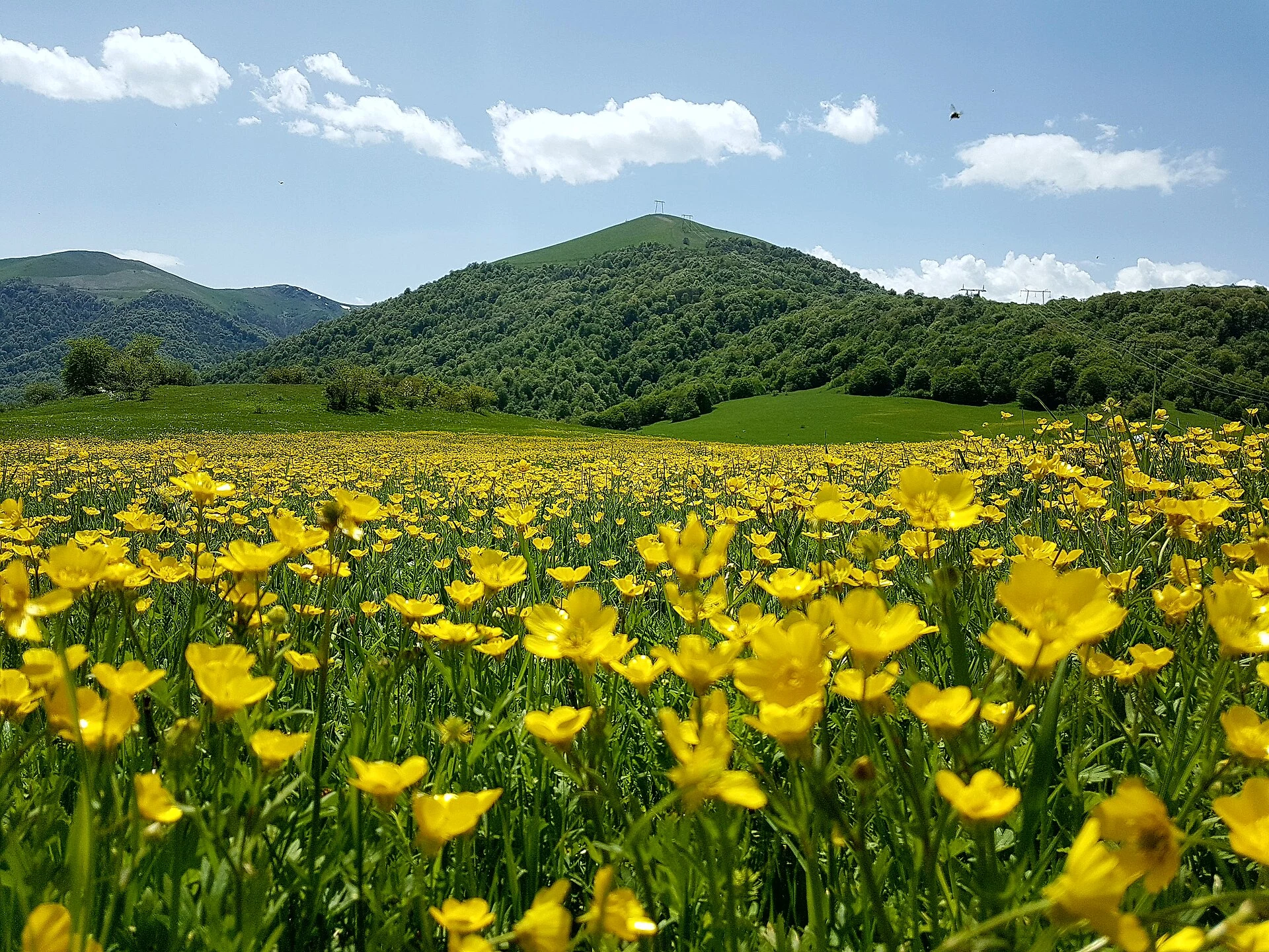
Dilijan lets you combine protected forest, a small lake and medieval monastic architecture without turning the day into a race between sights. The key decision is not which monument to add, but how much ground you want to cover on foot: Parz Lake works as a short walking destination, while the connection to Goshavank is a mountain route with elevation changes and navigation demands that deserve time.
The best base is the town of Dilijan. From there, you can arrange an overnight stay, check trail conditions and separate the road transfer from the walking section. This way, the park stops being scenery viewed from a vehicle and becomes a landscape where forest, villages and monasteries remain closely connected.
A route linking three different scales
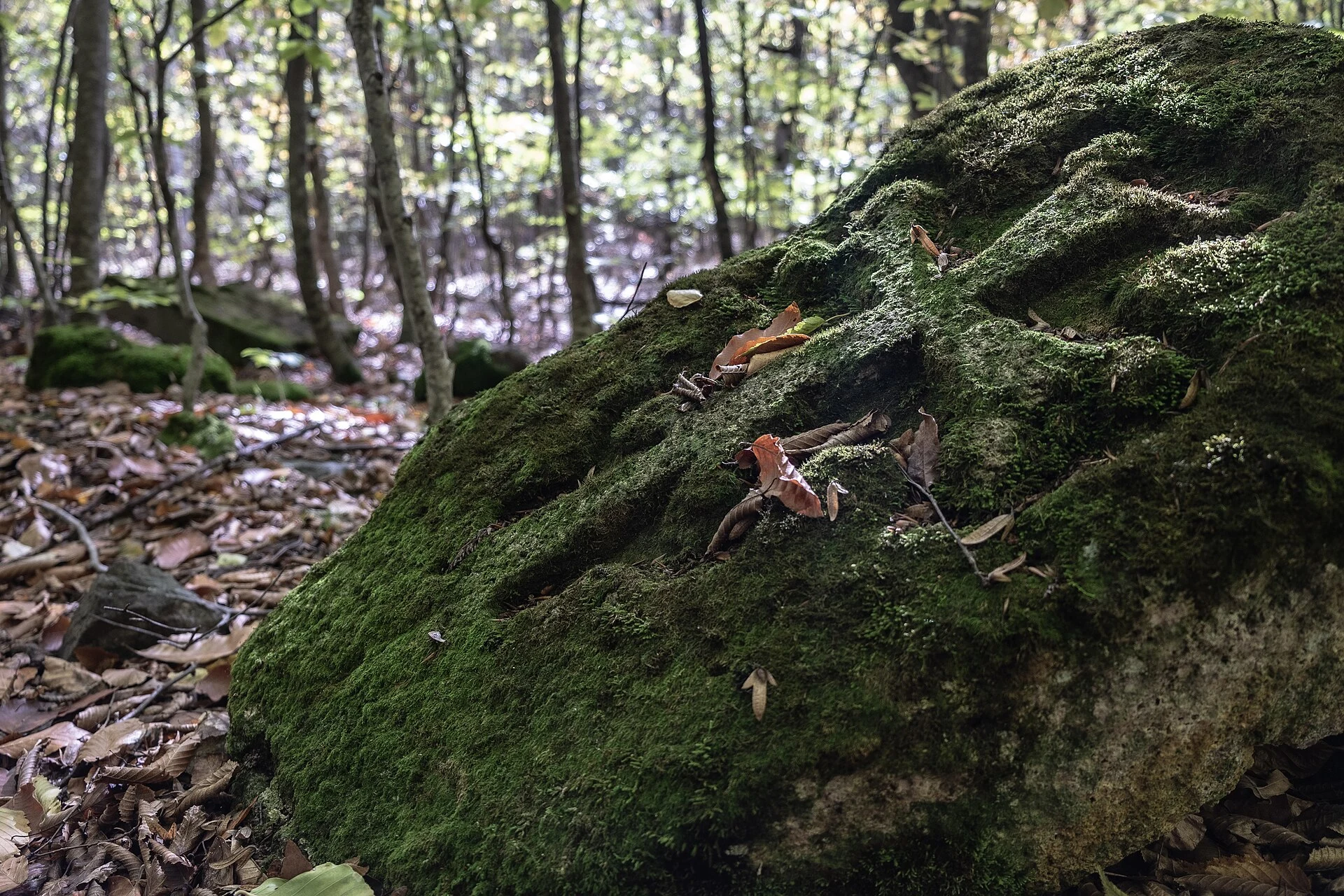
Dilijan National Park protects a forested landscape in Tavush crossed by marked paths and trails. Parz Lake offers a straightforward experience: the shore, woodland and a short circuit allow you to approach the surroundings without committing to a long hike. It is a sensible option if you arrive late, have little mountain experience or want to save energy for Goshavank.
The trek between Parz Lake and the village of Gosh changes character. The marked route crosses clearings, forest and slopes; it includes junctions and inclines that require following trail markers, carrying water and wearing shoes with firm soles. This is not a flat walk around the lake. Allow several real hours of walking, rather than relying only on the distance shown on the map, and download offline maps before setting out.
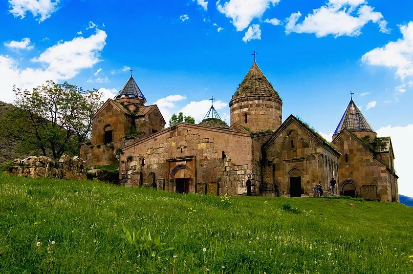
Goshavank awaits at the end, a medieval monastic complex where it is worth pausing over the khachkars, Armenia’s characteristic carved stone crosses. The value of arriving does not lie in ticking a monument off a list: walking to the village helps connect the worked stone with the park’s terrain and communities.
Choose between the full hike and a split day
For a first visit, two choices make sense. The first is to combine the short Parz Lake circuit with Goshavank using road transfers. You give up continuity in exchange for more time to observe, rest and visit the monastery without watching the clock. It is the most suitable alternative if the weather is unsettled, if you are walking with children or if you do not want to depend on reaching the village late in the day.
The second is to walk the Parz–Goshavank route. Trail information describes a section of roughly 7–8 kilometres, with steep stretches and changes in elevation; travelling from Goshavank to Parz involves a pronounced initial climb. Navigation and ground conditions matter more than the number of kilometres: some junctions connect with forest tracks, and local works may alter the route.
Do not try to add the Dilijan–Parz Lake trail to the same day unless you have experience, sufficient daylight and a solid logistical plan. This connection is around 14 kilometres and is generally classed as moderate difficulty. Splitting the experience over two days—one for Dilijan and Parz, another for Goshavank—usually offers a more honest balance between effort and visiting time.
Arriving without your own car and managing the final stretch
Direct bus or minibus connections run between Yerevan and Dilijan, so the town can serve as a base without hiring a vehicle. Timetables, departure points and frequency should be checked on the same day using Armenia’s transport planner, since these are operational details and may change.
The complication comes when leaving Dilijan: the access points for Parz Lake and Goshavank are not in the town centre. A taxi arranged in advance or a local driver can save you a walk along the road and, above all, prevent your return from depending on finding transport at the last minute. If you arrange a one-way transfer and plan to walk back, confirm phone coverage, the pick-up point and a clear cut-off time.
For a responsible visit, stay on marked trails, do not collect plants or stones, and take all your waste back with you. The park includes areas with different levels of protection; a visible path does not always mean it is an authorised route. Ask park staff or the Dilijan information centre if you plan to camp, leave the main itineraries or walk after heavy rain.
Pace, surfaces and accessibility expectations
This outing is rewarding for visitors prepared to deal with uneven surfaces. At the monastery there may be uneven stone, steps and changes in level; in the forest, expect mud, roots, slopes and stretches where the signage requires attention. A visit by vehicle should not be equated with a fully accessible experience simply because the destination is close to Dilijan.
Bring a waterproof layer, enough water and some food even for the shorter outing. On the Parz–Goshavank hike, add a power bank, a downloaded map and plenty of daylight. After snow or periods of bad weather, secondary roads and trails may be in different condition from what you expected.
Before confirming your plan, check the weather forecast, access conditions and route status with local sources. It is also worth checking the visiting conditions for Goshavank and Dilijan National Park: opening hours, services, temporary closures and access requirements can change.
References to check before setting out
To prepare and update this route, the Ministry of Environment of the Republic of Armenia and the administration of Dilijan National Park were consulted, along with the national Armenia Travel platform, HikeArmenia, which maintains trail listings, and the Transcaucasian Trail, which publishes route notes and maintenance work.
Before travelling, check with these organisations the condition of the trails between Dilijan, Parz Lake and Goshavank, road conditions, regional transport services and any access or camping rules.
References consulted during editorial review. Times, requirements and advisories may change: always confirm with the official source.
- https://environment.gov.am/en/dilijan-national-park-snco environment.gov.am
- https://transport.yerevan.am/ transport.yerevan.am
- https://old.arlis.am/DocumentView.aspx?docid=33243 old.arlis.am
- https://haghartsin.mus.am/en/ haghartsin.mus.am
- https://www.yerevan.am/en/bus/ www.yerevan.am
- https://environment.gov.am/%D5%A4%D5%AB%D5%AC%D5%AB%D5%BB%D5%A1%D5%B6-%D5%A1%D5%A6%D5%A3%D5%A1%D5%B5%D5%AB%D5%B6-%D5%BA%D5%A1%D6%80%D5%AF-%D5%BA%D5%B8%D5%A1%D5%AF environment.gov.am
- https://armenia.travel/places-to-go/tavush/ armenia.travel
- https://www.arites.am/en/haghartsin www.arites.am
- Armenia World Countries — mledozeODbL 1.0 World countries dataset by mledoze and contributors · ODbL 1.0
- Armenia World Bank Open DataCC BY 4.0 World Bank
- Dilijan GeoNamesDatos geográficos bajo CC BY 4.0; requiere atribución a GeoNames. Fuente: GeoNames
- Dilijan, Dilijan community, Tavush Province, Armenia OpenStreetMapODbL 1.0; atribución y obligación de compartir bases derivadas. Fuente: OpenStreetMap
- Dilijan National Park, Dilijan community, Tavush Province, Armenia OpenStreetMapODbL 1.0; atribución y obligación de compartir bases derivadas. Fuente: OpenStreetMap
- Dilijan National Park, Kamo Street, Golovino, Dilijan, Dilijan community, Tavush Province, 3904, Armenia OpenStreetMapODbL 1.0; atribución y obligación de compartir bases derivadas. Fuente: OpenStreetMap
- Mkhitar Gosh Monastery GeoNamesDatos geográficos bajo CC BY 4.0; requiere atribución a GeoNames. Fuente: GeoNames
- Goshavank, Road to Goshavank, Gosh, Dilijan community, Tavush Province, 3907, Armenia OpenStreetMapODbL 1.0; atribución y obligación de compartir bases derivadas. Fuente: OpenStreetMap