Finland · Ostrobothnian Coast
Kvarken from Vaasa, with Björkö trails and rising land
In Björkö, west of Vaasa, sea and land sketch a landscape that changes slowly. This visit helps you choose between a short walk, a long hike and an outing that depends on the ferry.
Conditions described in the guide: confirm current requirements and access with the official source before travelling.
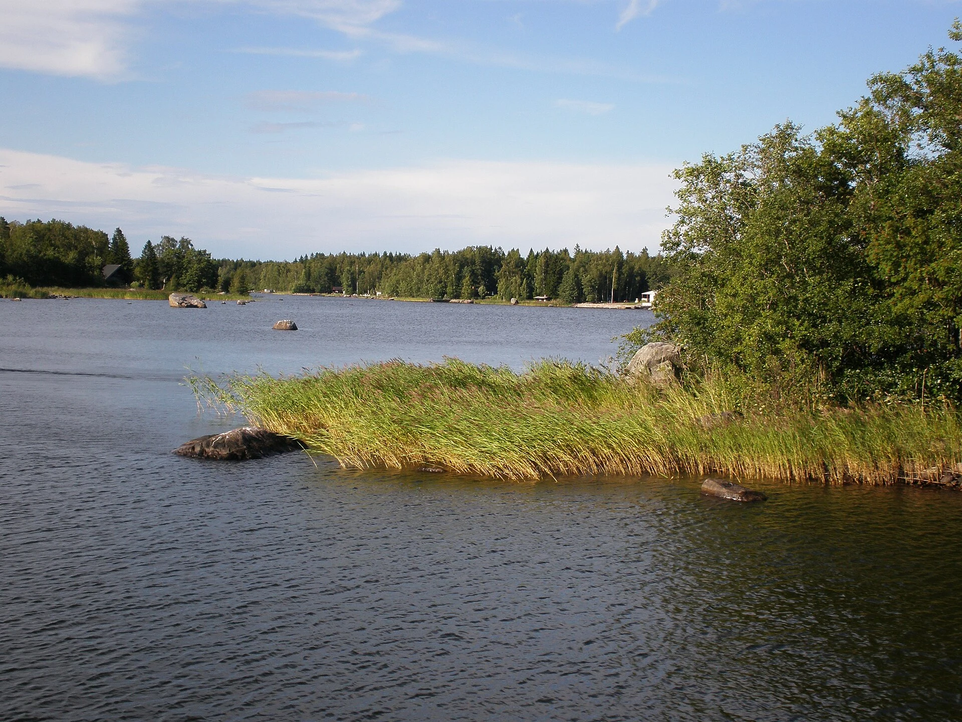
The Kvarken Archipelago is not a place to visit simply to collect islands, but to witness a process still under way: the post-glacial rebound that brings new land above the water as the ice retreats. From Vaasa, Björkö offers a clear way to read this change through low moraines, inlets gradually cut off from the sea and trails beside very shallow water. It is a highly rewarding excursion, but logistics are not something to improvise: independent access requires transport planning, and the long route depends on a seasonal crossing.
Start by understanding what you are seeing
Kvarken forms a transboundary natural site with Sweden’s High Coast, recognised for its geological processes. Here, the land continues to rise by approximately nine millimetres a year, so bays can gradually become lagoons, wetlands and lakes cut off from the sea.
Make the World Heritage Gateway, beside the Replot Bridge, your first stop if you want maps, geological context and a better-informed decision about your day. It does not replace the landscape itself, but it prevents you from treating the De Geer moraines as simple lines of stones: they are the parallel traces left by the edge of the ice sheet. To continue towards Svedjehamn and Björkö, having a vehicle is the practical option; there is no dedicated public-transport connection to the visitor centre.
Vaasa works well as an urban base for accommodation and supplies. The contrast between the city and the fishing harbour of Svedjehamn also helps explain that this is not an enclosed park: it is an inhabited coastline, with local activities and a shared natural heritage.
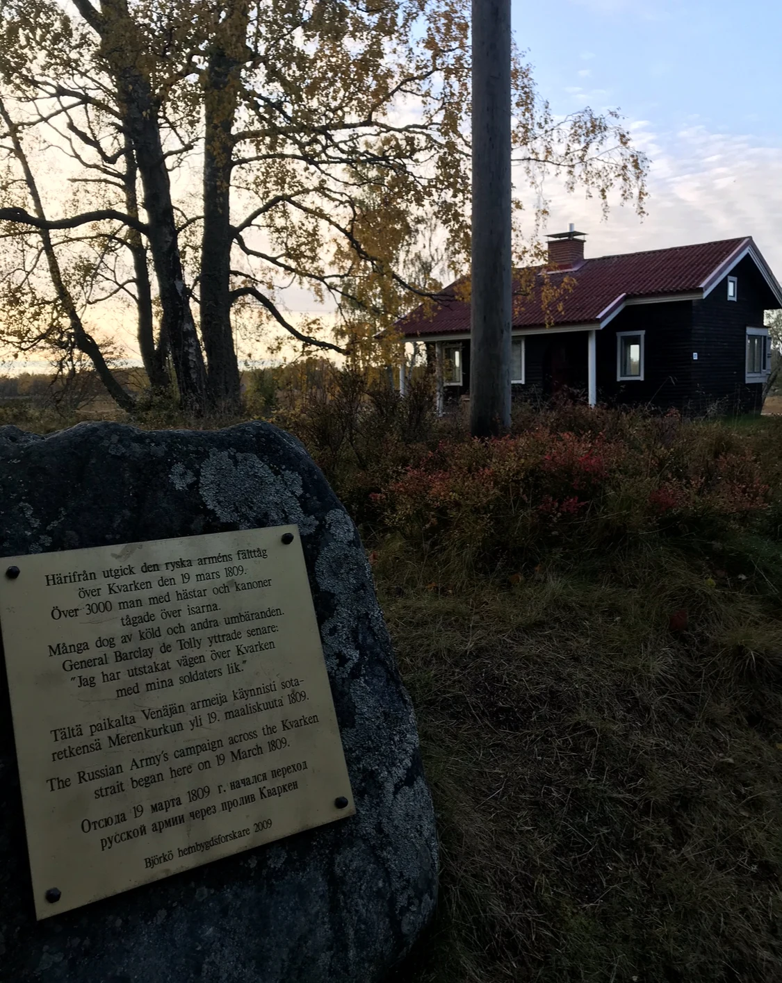
Two scales for Björkö: Bodvattnet or Björkö–Panike
For a first introduction, choose the Bodvattnet circuit, 3.8 kilometres long, starting at Svedjehamn. It is the clearest option for combining low woodland, water enclosed by the rising land and the Saltkaret observation tower. Climb the tower at an unhurried pace: the view lets you read the repeated moraines and distinguish where the open sea ends and a basin of a different character begins.
Those looking for a sustained walk can consider the Björkö–Panike trail, approximately 23.7 kilometres long. This is no longer a supplementary stroll: it requires a full day, food, water, windproof clothing and a planned finish. The route includes crossing Korsbådafjärden on a small cable-guided electric ferry operated by the hikers themselves. The crossing may be suspended in strong winds or when water levels are low, so it should not be the only flexible element in your plan.
There is also a demanding 3.5-kilometre accessible route in the Bodvattnet area. This improvement does not automatically make all of Björkö accessible: check the condition of the surface, boardwalks and services before choosing your route.
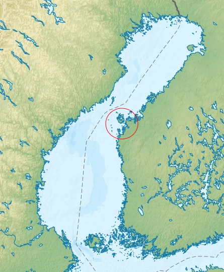
The season changes both the experience and access
The trail network is not generally maintained in winter and is intended for the snow-free season; the road to Saltkaret is an exception. In spring, migration and nesting make birdwatching especially interesting, but they also reinforce the need to remain on marked paths and keep away from wildlife. Summer offers more possibilities for completing hikes and using services, although wind still affects any stretch over water.
The soundest approach is to separate three plans. For a short visit, prioritise Svedjehamn, Bodvattnet and Saltkaret. For the Björkö–Panike crossing, allow plenty of time and treat the ferry as an operational condition, not a promise. For the more outlying islands, use an organised trip or a suitable boat operator: many can only be reached by water.
Kvarken’s value depends on its shores, birds and vegetation being able to continue adapting. Take your rubbish back with you, use only authorised places for resting or lighting fires, and avoid creating shortcuts across moraines and wetlands.
The check that may change your itinerary
Before setting out, check the official pages of the World Heritage Gateway and Metsähallitus’s natural-area network for trail conditions, operation of the Korsbådafjärden ferry, weather warnings, fire restrictions and available services. Visitor-centre opening hours, ferry conditions and seasonal maintenance are all subject to change.
If the ferry is not operating, do not force an incomplete version of the crossing: return to the Bodvattnet circuit and Saltkaret, which offer a coherent experience of the landscape in less time. If you are looking for a full day, combine the walk with a leisurely listening to local archipelago stories or with a night in Vaasa, rather than turning a fragile coastline into a race against the kilometre count.
References to check before travelling
For the route’s variable information, consult the World Heritage Gateway visitor centre, the municipal information for the Kvarken Archipelago, Metsähallitus trail guides and regulations, and documentation from the UNESCO World Heritage Centre. In particular, check the status of the Korsbådafjärden ferry, trail maintenance, fire alerts and opening hours.
References consulted during editorial review. Times, requirements and advisories may change: always confirm with the official source.
- https://whc.unesco.org/en/list/898 whc.unesco.org
- https://whc.unesco.org/en/list/898/maps/ whc.unesco.org
- https://whc.unesco.org/en/list/898/documents whc.unesco.org
- https://whc.unesco.org/en/decisions/996 whc.unesco.org
- https://whc.unesco.org/en/decisions/1461/ whc.unesco.org
- https://whc.unesco.org/document/124861 whc.unesco.org
- https://whc.unesco.org/en/search/?criteria=highs+ whc.unesco.org
- https://whc.unesco.org/en/news/266 whc.unesco.org