Grenada · northeast coast
Levera Wetland: explore beach, mangroves and turtle season
At Levera, the plan changes depending on whether you want to walk beside the pond, watch birds or try a guided nighttime turtle excursion.
Conditions described in the guide: confirm current requirements and access with the official source before travelling.
journal.travel Atlas
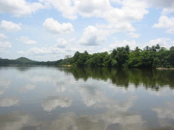
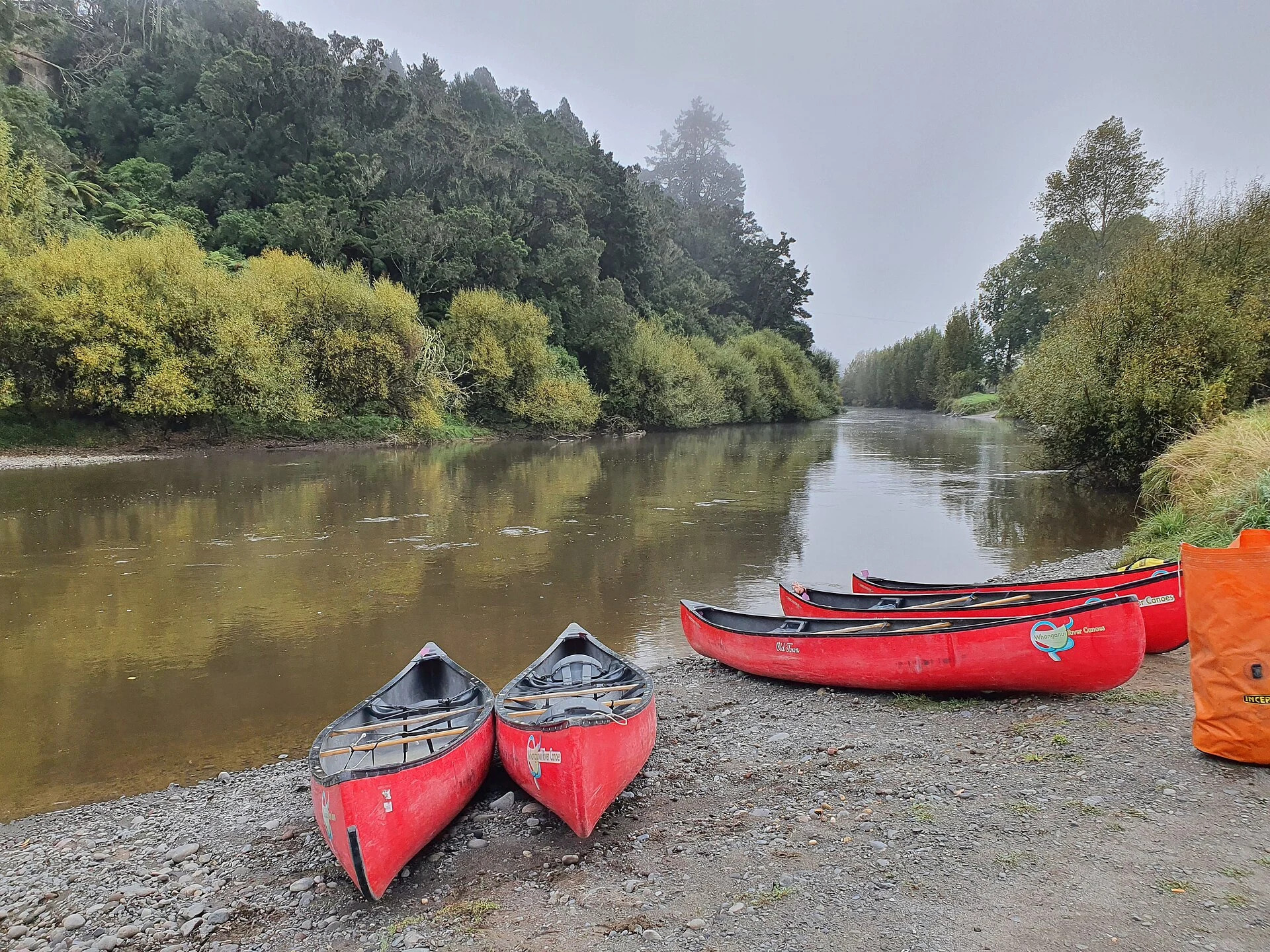
Photography pending verification
Levera Wetland brings together a crater pond, mangroves, beach and open sea within a short distance on Grenada’s northeast coast. Its appeal lies not in stringing together a series of stops, but in understanding how these environments connect and in distinguishing a daytime visit from a possible nighttime observation. Levera Beach is a sensitive nesting site, not a guarantee of sightings; timing and access should be decided carefully. Planning with an authorized community guide is the right choice if you visit during turtle season.
From volcanic pond to beach, without separating the landscape
Levera is Grenada’s only wetland listed under the Ramsar Convention and covers 518 hectares of connected environments: a freshwater pond, mangrove belts, beach, seagrass meadows, reefs and the area around Sugar Loaf. This scale explains why it is best viewed as a coastal wetland rather than simply as a beach.
The pond occupies an ancient volcanic depression and is surrounded by mangroves. The tourism office describes a trail around it and a boardwalk for taking a closer, more leisurely look. Use them as the focus of your daytime visit: pause to identify the transitions between fresh water, vegetation and coast before heading down to the sand. Do not assume that every section will be open or in the same condition: rain, maintenance and management decisions may alter the route.
Turtle season changes the rules of the visit
The leatherback turtle uses Levera as its main nesting area on the island of Grenada. Tourism information places nesting activity between March and July, while guided community excursions are arranged according to the animals’ actual presence and conservation conditions.
Do not book a night expecting a guaranteed encounter: activity depends on the turtles, and one recent season saw excursions suspended because of a decline in sightings. During the nesting period, access to the beach may be restricted; the responsible choice is therefore to contact SPECTO directly, the community organization that manages guided visits, and accept its schedule, rules and possible cancellations. Do not use white light, approach from in front or block an animal’s path if you take part in an authorized observation.
A coast for watching the sea, not improvising a swim
The channel near Sugar Loaf is where the Atlantic and Caribbean meet. Wetland documentation warns of strong waves and currents in this area, a factor that should carry more weight than the water’s momentary appearance.
For a full day, think of Levera as a combination of walking, birdwatching, scenery and rest on land. If you want to swim, ask locally which area is suitable that day and follow any local guidance; do not automatically turn a nesting beach or an exposed shoreline into a swimming itinerary. Bring reusable water, take all your waste with you and avoid entering mangroves or dunes outside designated paths. The best visit leaves room for wildlife and for the people who protect it.
References and checks before setting out
Sources consulted: Ramsar Convention on Wetlands, Levera Wetland information sheet; Grenada Biodiversity Hub, sea turtle information; Grenada Tourism Authority, Levera information; SPECTO, St. Patrick’s environmental and community organization.
Check before you travel: availability of nighttime excursions, whether reservations are required, seasonal access restrictions at Levera Beach, the condition of the pond trail and boardwalk, and sea conditions. For turtles, contact SPECTO first; for a daytime visit, cross-check information with the Grenada Tourism Authority and the instructions posted on site.
Quick decisions for your visit
- Choose a daytime visit if your priority is the wetland, mangroves and coastal scenery.
- Consider a nighttime excursion only if there is an authorized community guide and confirmed availability.
- Treat March to July as an ecological window, not a promise of sightings.
- If there are waves, currents or restrictions, change your plan: observing from land is also a way to experience Levera.
References consulted during editorial review. Times, requirements and advisories may change: always confirm with the official source.
- https://climateresilience.gov.gd/wp-content/uploads/2026/02/7sister-ESIA-ESMP-report.pdf climateresilience.gov.gd
- https://stats.gov.gd/wp-content/uploads/2021/04/Compendium-2020-Final.pdf stats.gov.gd
- https://climateresilience.gov.gd/wp-content/uploads/2025/02/2024_G-CREWS-7sister-ESIA-ESMP-report.pdf climateresilience.gov.gd
- https://climateresilience.gov.gd/water-availability/ climateresilience.gov.gd
- https://www.gov.gd/ www.gov.gd
- https://climateresilience.gov.gd/update-on-the-seven-sisters-water-transfer-project-and-its-respective-environmental-and-social-management-plan-implementation/ climateresilience.gov.gd
- https://www.gov.gd/national-symbols?highlight=WyJncmVuYWRhIiwiZWNvbm9teSJd www.gov.gd
- https://www.gov.gd/national-symbols-grenada www.gov.gd
- Grenada WikidataCC0 1.0 Wikidata · Q3116419
- Grenada WikidataCC0 1.0 Wikidata · Q985543
- Granada WikidataCC0 1.0 Wikidata · Q769
- Grenada WikidataCC0 1.0 Wikidata · Q2897304
- Granada WikidataCC0 1.0 Wikidata · Q8810
- Grenada World Countries — mledozeODbL 1.0 World countries dataset by mledoze and contributors · ODbL 1.0
- Grenada World Bank Open DataCC BY 4.0 World Bank
- Grenada DBpediaCC BY-SA 3.0 DBpedia