Explore/Europe
ISL · Europe

Iceland

Iceland

CapitalReykjavik
RegionNorthern Europe
CurrencyISK
Official languagesIcelandic
Access to the seaYes
Travel atlas

Explore Iceland on the map

All articles about the country, including other pages. Select a point to discover its guides.

2 articles
Almannagjá
Iceland · Place of interest

Almannagjá

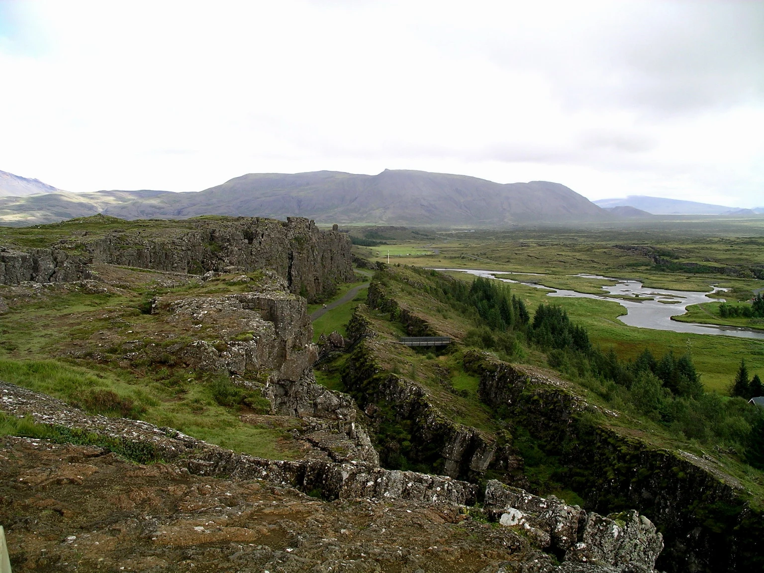
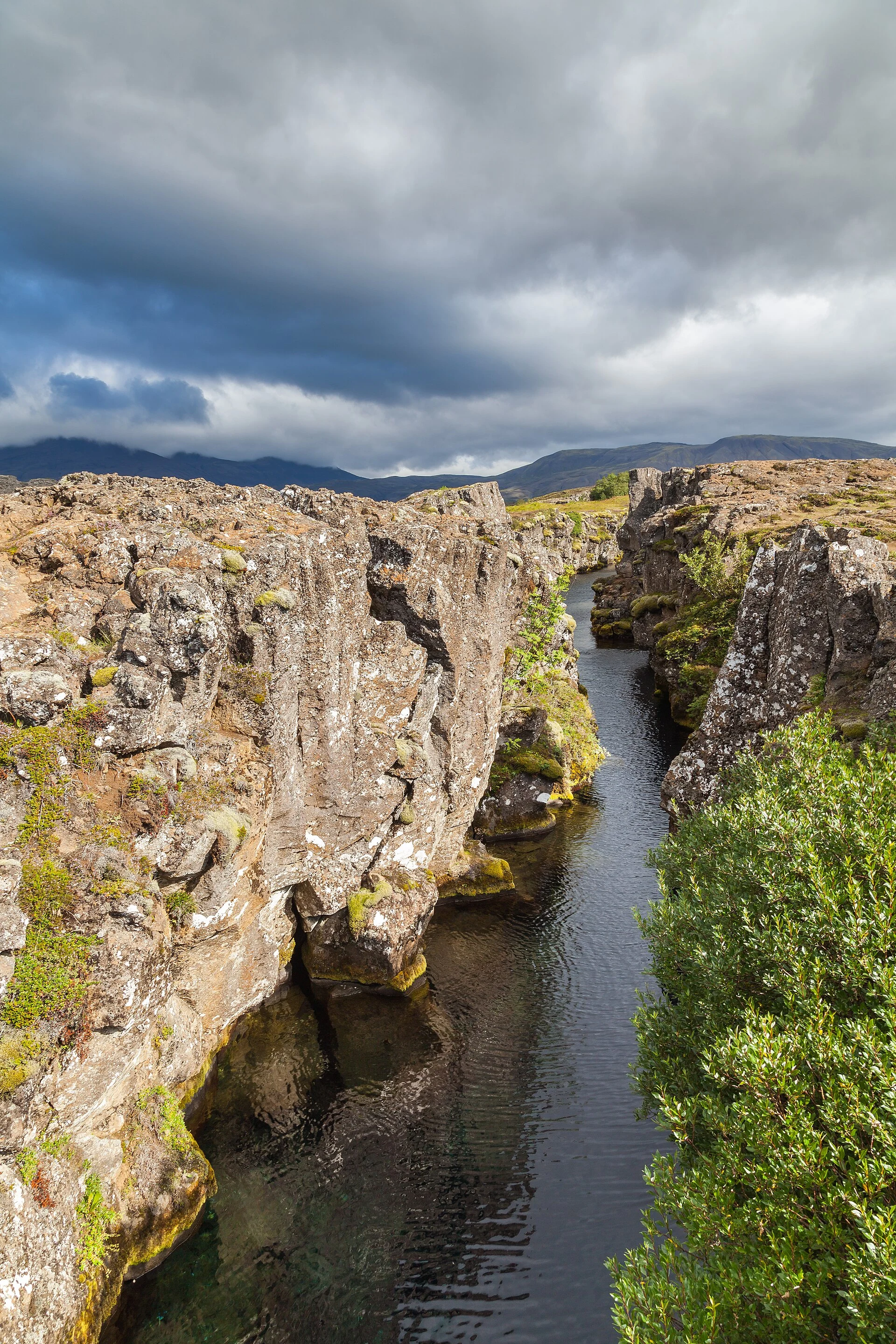
Almannagjá is a Þingvellir gorge where the descent connects the rift with the open ground used by the ancient Alþingi. The route passes near Lögberg and gives the landscape a historical as well as geological context.

Explore the place →
Eldfell volcanic cone above Heimaey town and harbour.
Iceland · Place of interest

Eldfell

Eldfell offers a close view of the volcanic cone and the lava spread by the 1973 eruption. The final ascent is steep and may have loose gravel, so consider the terrain and your available time before setting out.

Explore the place →
Flosagjá
Iceland · Place of interest

Flosagjá

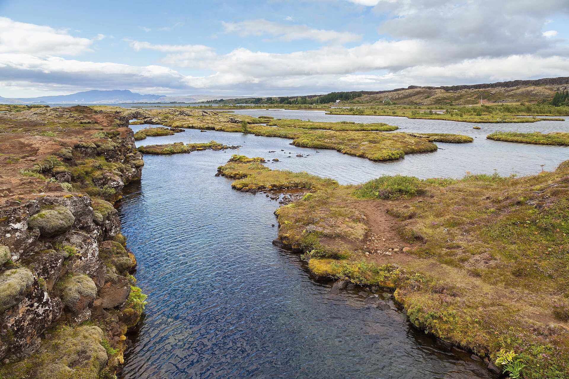
Flosagjá is a fissure among the waterways and meadows of Þingvellir’s lowlands. The article places it on a continuation of the walk from the assembly area, provided the bridges and trails are open.

Explore the place →
Eldfell volcanic cone above Heimaey town and harbour.
Iceland · Region or area

Heimaey

Heimaey brings together port life, memories of the 1973 eruption and a lava-shaped landscape. Eldheimar tells the story of the evacuation, while Eldfell offers a view of the island’s volcanic terrain.

Explore the place →
Almannagjá
Iceland · Place of interest

Lögberg

Lögberg, the Law Rock, lies in the Almannagjá area of Þingvellir. The trail passes this site associated with Alþingi gatherings, where laws were proclaimed and disputes settled.

Explore the place →
Öxarárfoss
Iceland · Place of interest

Öxarárfoss

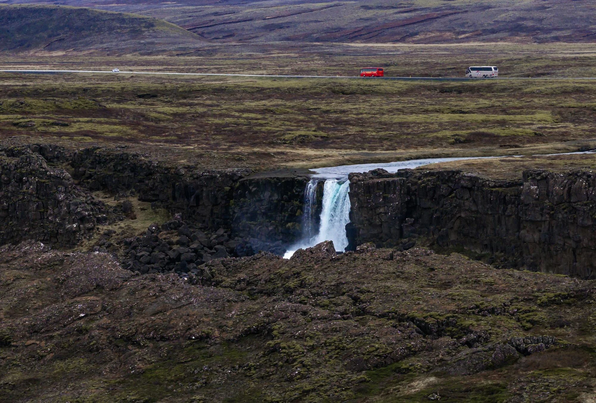
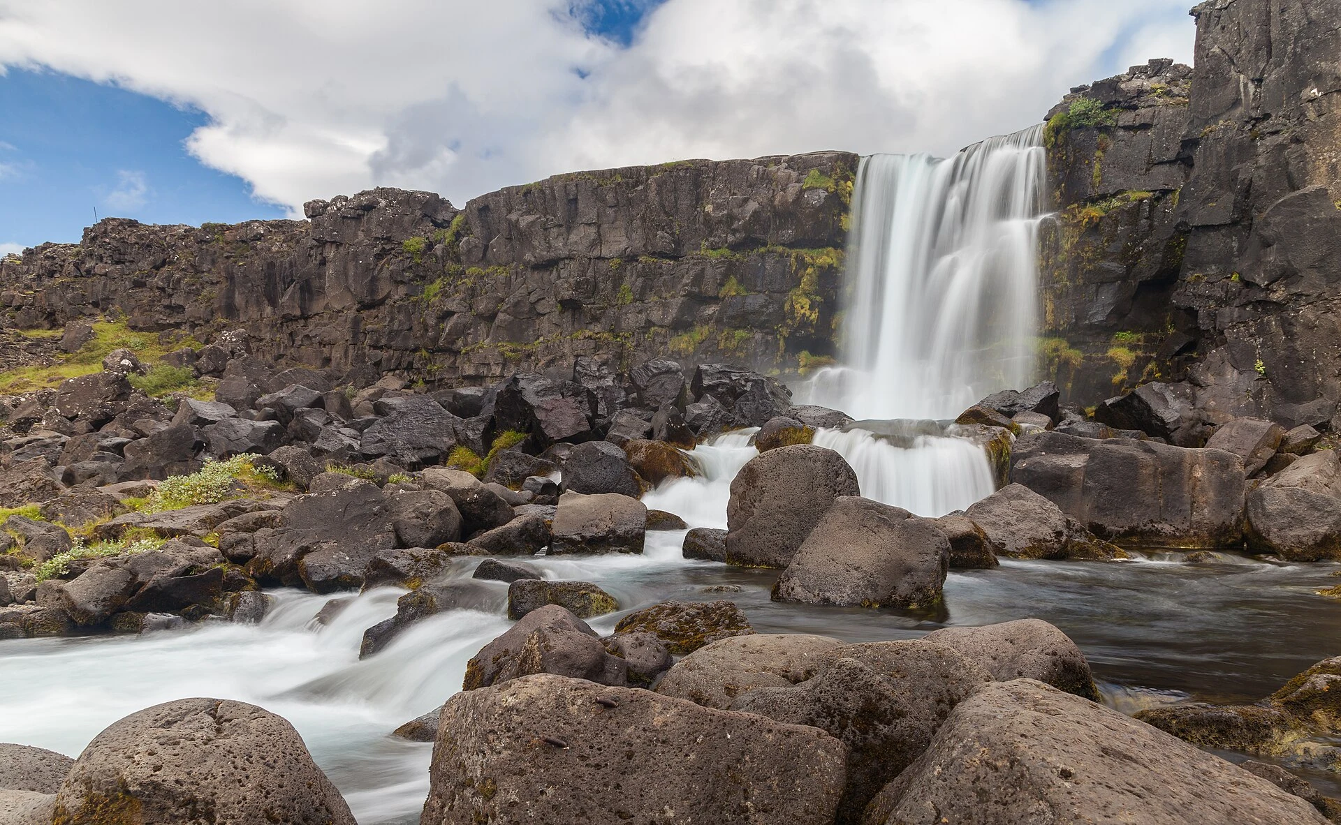
Öxarárfoss is the waterfall where the Öxará River drops into the Þingvellir fissure. Its appearance changes with rain, snowmelt and dry spells, so it is best treated as part of a flexible walk.

Explore the place →
Silfra
Iceland · Place of interest

Silfra

The article mentions Silfra as a separate excursion for snorkelling in an area of underground water and fissures. It provides no specific details about the route or current conditions.

Explore the place →
Surtsey
Iceland · Region or area

Surtsey

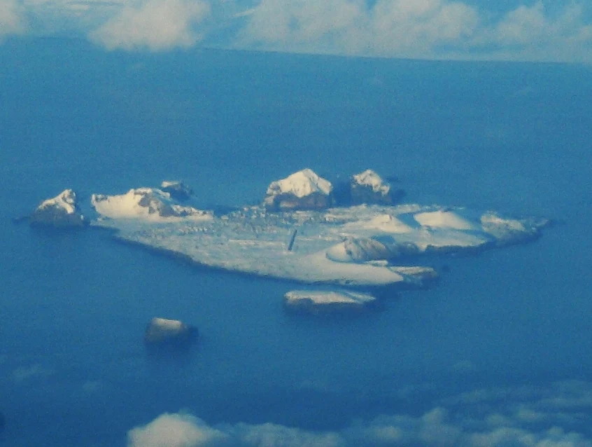
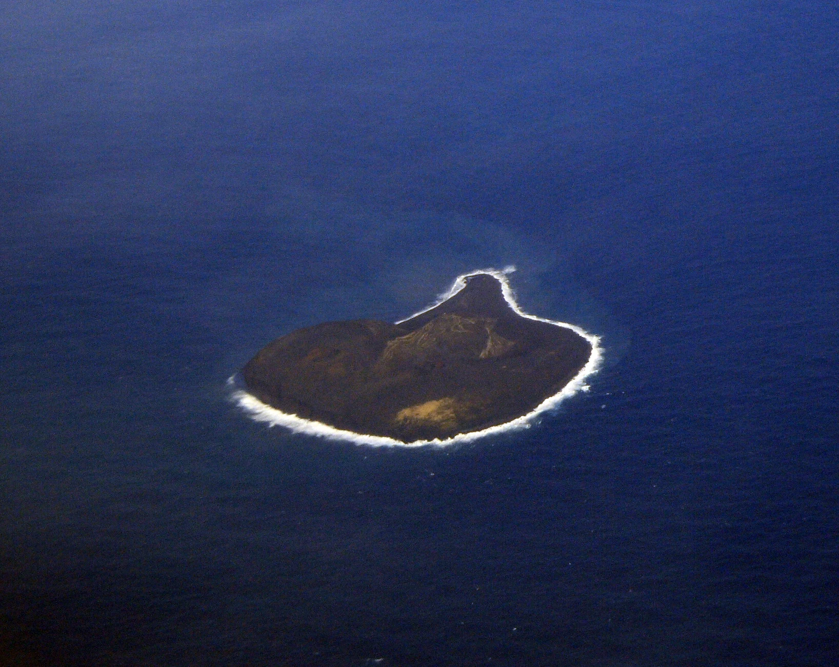
Surtsey emerged from an eruption between 1963 and 1967 and is a protected scientific reserve. Public access is restricted; its relevance to a visit in the area lies in understanding its role in research without going ashore.

Explore the place →
Almannagjá
Iceland · Region or area

Thingvallavatn

Þingvallavatn can be seen in the distance from the Hakið viewpoint, beyond Þingvellir’s assembly plains. The article describes it as part of the landscape view, rather than as a separate stop.

Explore the place →
Almannagjá
Iceland · Region or area

Thingvellir National Park

Þingvellir is a cultural landscape where terrain, water and political history meet along the walking routes. The Alþingi held its assemblies here from around 930 until 1798. Almannagjá, Lögberg and Öxarárfoss help trace the connection between the landscape and the assembly.

Explore the place →
Iceland

Guides to this destination