Westman Islands
Heimaey: connecting the harbor, recent lava and the memory of 1973
On Heimaey, the Eldfell volcano and Eldheimar Museum help you decide whether a ferry stopover is enough or whether it is worth staying overnight as the sea conditions change.
Conditions described in the guide: confirm current requirements and access with the official source before travelling.
Heimaey offers an unusual way to read Iceland: a harbor community that continues its everyday life on land transformed by the 1973 eruption. The best plan is not to string together viewpoints, but to connect the memory of a real evacuation with a volcanic landscape that still shapes distances. The island can be visited on foot from the ferry, but sailing conditions require flexibility and can turn a tightly scheduled day trip into an uncomfortable choice.
A stopover or an overnight stay: the decision starts on the ferry
The ferry reaches Heimaey from Landeyjahöfn, on Iceland’s south coast. Reykjavik is connected to the ferry terminal by bus, so the core of this visit can be arranged without a private car: the harbor, town center, Eldheimar and the foot of Eldfell form a reasonable sequence on foot.
The trade-off is at sea. The operator may change the port, timetable or departures depending on conditions, and some sailings may sell out. If you book a same-day return, leave plenty of time between disembarking and departure; if Eldheimar and the climb up Eldfell are priorities, staying one night on Heimaey reduces your dependence on a single sailing. Before setting out, check the operational notice, departure port and latest check-in time in the official source listed at the end.
Eldheimar gives the lava a human scale
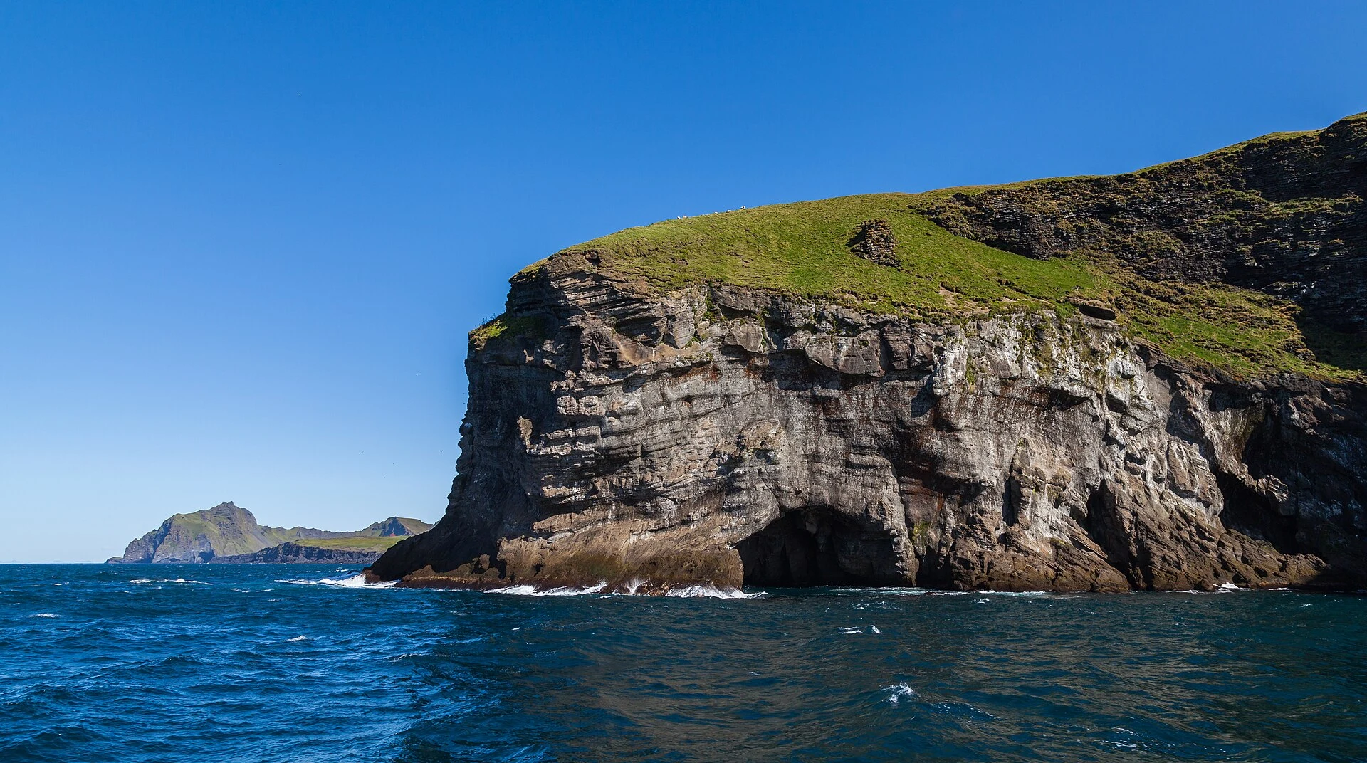
Start at Eldheimar before walking toward the volcano. The museum preserves the story of the eruption that began during the night of January 23, 1973, when more than 5,000 residents evacuated Heimaey. That story prevents you from seeing the lava fields as mere geological scenery: beneath part of this ground were homes, streets and a community forced to reorganize.
The visit works particularly well for travelers with limited time or for anyone who does not want to climb. Afterwards, take your time exploring the area immediately around the museum and observe how the town meets the volcanic material. This is a route of memory and urban transformation, not a reenactment of a disaster. Check Eldheimar’s opening hours and any exceptional closures through its official channel before fixing your return ferry.
Climb Eldfell only if the terrain suits you
From the Eldheimar area, Eldfell makes it possible to understand physically what the eruption produced: the cone, the extent of the lava and the harbor to which the island remains connected. The final part of the ascent is steeper and may have loose volcanic gravel, so sturdy, supportive boots, windproof layers and an honest assessment of each person’s balance and mobility are advisable.
Those who prefer additional context can look for an available guided tour; the published offer describes a roughly four-kilometer walk ending at the museum, with a steep final ascent. Do not turn the summit into an obligation: in fog, strong winds or with a ferry departure approaching, a walk across the lava and a museum visit make for a more sensible day. Check the weather, trail conditions and guide availability on the same day.
Surtsey can be understood without going ashore
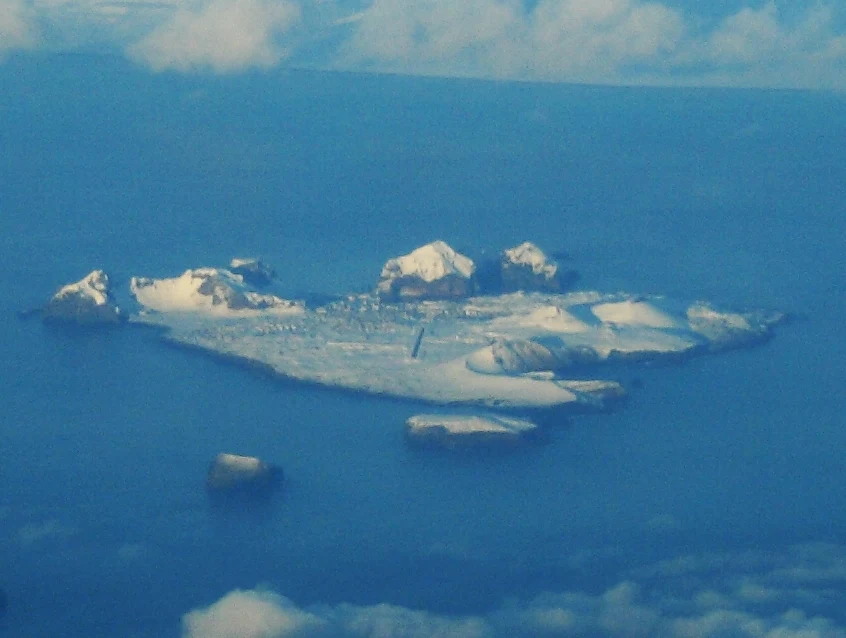
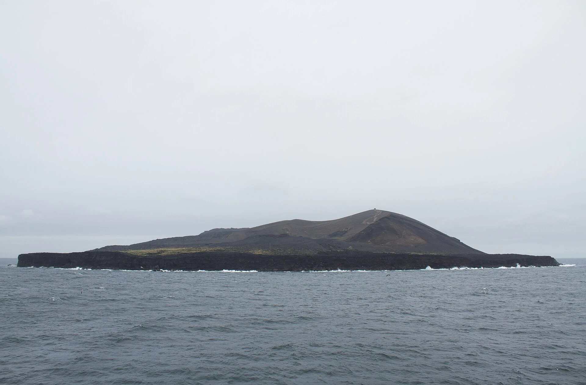
South of the archipelago lies Surtsey, formed by an eruption between 1963 and 1967. For visitors to Heimaey, its importance is not that it adds another stop, but that it illustrates a boundary: the island is a protected scientific reserve and public access is restricted. Do not plan a landing or diving activities beside the island as part of an ordinary tourist itinerary.
This restriction protects long-term observation of how life becomes established in new territory with as little human intervention as possible. Eldheimar offers a more responsible way to learn about this process; from the sea, a boat trip may provide perspective if conditions and the operator allow it, but it should not be presented as a promise of access. Check Surtsey’s current rules with the environmental authority before booking any outing.
References to check before traveling
- Herjólfur: ferry timetables, operational notices, alternative ports, booking and boarding conditions.
- Eldheimar Museum: opening hours, exceptional closures and exhibition content about the 1973 eruption.
- Icelandic Environment Agency: protection and access rules for the Surtsey nature reserve.
- UNESCO World Heritage Centre: context on Surtsey’s protection, research and natural value.
- Visit Westman Islands: updated availability and details of guided walks on Eldfell.
References consulted during editorial review. Times, requirements and advisories may change: always confirm with the official source.
- https://www.eldheimar.is/ www.eldheimar.is
- https://www.eldheimar.is/?lang=en%2F www.eldheimar.is
- https://visitwestmanislands.com/tour/volcanic-hike/ visitwestmanislands.com
- https://book.herjolfur.is/passengers book.herjolfur.is
- https://herjolfur.is/aaetlun/ herjolfur.is
- https://www.eldheimar.is/?lang=de www.eldheimar.is
- https://herjolfur.is/en/ herjolfur.is
- https://herjolfur.is/en/prices/ herjolfur.is
- Islandia WikidataCC0 1.0 Wikidata · Q189
- Islandia WikidataCC0 1.0 Wikidata · Q3452395
- Islandia WikidataCC0 1.0 Wikidata · Q2049988
- Islandia WikidataCC0 1.0 Wikidata · Q19414184
- Islandia WikidataCC0 1.0 Wikidata · Q3740828
- Bouvet Island World Countries — mledozeODbL 1.0 World countries dataset by mledoze and contributors · ODbL 1.0
- Iceland World Bank Open DataCC BY 4.0 World Bank
- Heimaey GeoNamesDatos geográficos bajo CC BY 4.0; requiere atribución a GeoNames. Fuente: GeoNames
- Eldfell GeoNamesDatos geográficos bajo CC BY 4.0; requiere atribución a GeoNames. Fuente: GeoNames
- Eldfell, Vestmannaeyjar, Southern Region, 900, Iceland OpenStreetMapODbL 1.0; atribución y obligación de compartir bases derivadas. Fuente: OpenStreetMap
- Surtsey GeoNamesDatos geográficos bajo CC BY 4.0; requiere atribución a GeoNames. Fuente: GeoNames
- Surtsey, Vestmannaeyjar, Southern Region, Iceland OpenStreetMapODbL 1.0; atribución y obligación de compartir bases derivadas. Fuente: OpenStreetMap
- Surtsey, Vestmannaeyjar, Southern Region, Iceland OpenStreetMapODbL 1.0; atribución y obligación de compartir bases derivadas. Fuente: OpenStreetMap