Region or area ·

Heimaey

Heimaey brings together port life, memories of the 1973 eruption and a lava-shaped landscape. Eldheimar tells the story of the evacuation, while Eldfell offers a view of the island’s volcanic terrain.

Eldfell volcanic cone above Heimaey town and harbour.
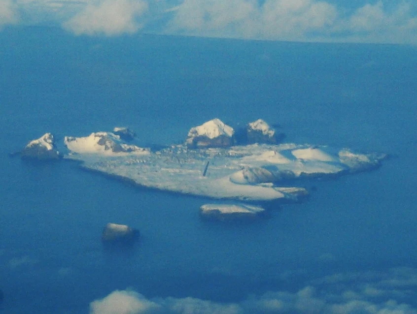
Photo by Aerial_view_of_the_Westmen_Isles,_2009-02-01.jpg: Bruce McAdam Camera location62° 55′ 41.37″ N, 20° 27′ 25.92″ W View this and other nearby images on: OpenStreetMap 62.928158; -20.457200 derivative work: Teofilo (talk) Source: Wikimedia Commons Licence: CC BY-SA 2.0
The place

What makes it special

  • Eldheimar preserves the account of more than 5,000 residents evacuated in 1973.
  • Lava fields show how the eruption transformed this inhabited island.
  • Eldfell has a steep climb, with loose volcanic gravel near the top.
Travel atlas

Articles in Heimaey

Guides to this place

1 article
journal.travel Editorial

Guides to this place

1 related guides

Information in context

Sources and references

This profile summarises our destination guides. Their research sources and the geographical reference are listed below.

Profile updated: 28/09/2026