Kyrgyzstan · Nature near Bishkek
Ala-Archa: choosing between the valley, Ak-Sai and Ratsek
At Ala-Archa, the best hike is not the highest one: it is the one that matches your time, experience and mountain weather.
Conditions described in the guide: confirm current requirements and access with the official source before travelling.
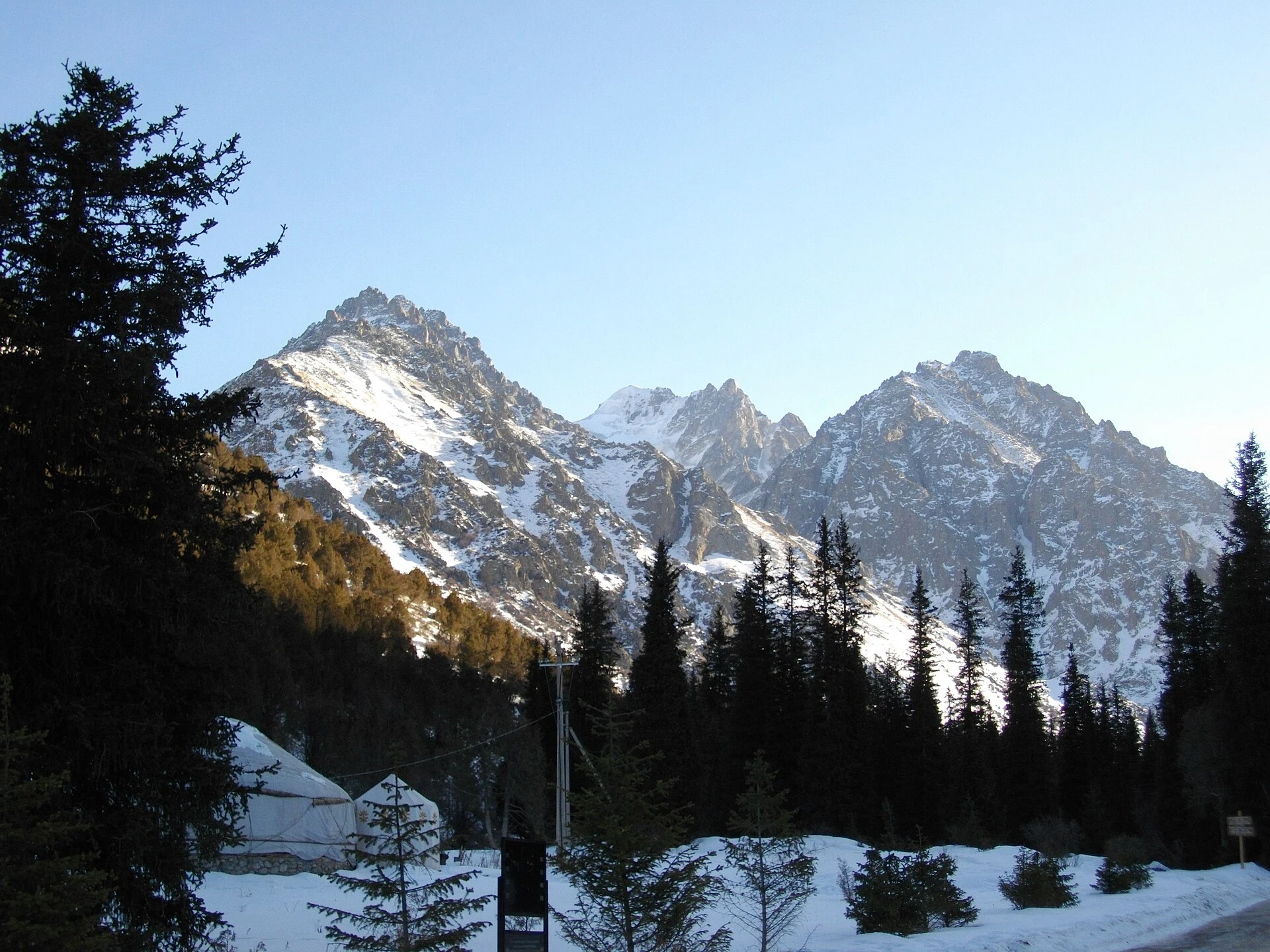
Ala-Archa lets you travel from Bishkek to a landscape of fir trees, river and Tian Shan cliffs in a single day, but it should be treated as a high-mountain park, not as an extended urban walk. The useful decision comes early: take a low-level route through the valley, climb to Ak-Sai Waterfall, or plan the Ratsek refuge area as a separate, demanding outing. Choosing the right objective leaves room for the return journey, changing weather and a more responsible experience.
Three scales, three very different days
The lower valley route is the sensible option for anyone short on time, travelling with children who are used to walking, or wanting to discover the park without turning it into a physical test. The appeal here lies in following the river, watching juniper and conifer woodland give way to the slopes, and appreciating how close the mountains really are to Bishkek. You do not need to reach a waterfall for the visit to be worthwhile.
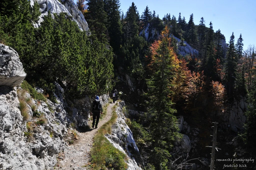
Ak-Sai Waterfall changes the nature of the day: the route climbs through a side valley and involves significant elevation gain on a return hike. Treat it as a mountain walk, with sturdy footwear, water, food and your own turnaround time. The published route reference describes around 700 metres of positive elevation gain; trail conditions and the actual weather should be checked before setting out.
The Ratsek refuge, high in the Ak-Sai valley, belongs to another scale altogether. It is a starting point for alpine and glacial objectives, not an automatic add-on after a short visit. If your plan does not leave a clear reserve of daylight, energy and weather margin, choose Ak-Sai or the lower valley and save Ratsek for a specifically prepared day.
Transport matters more than it may seem
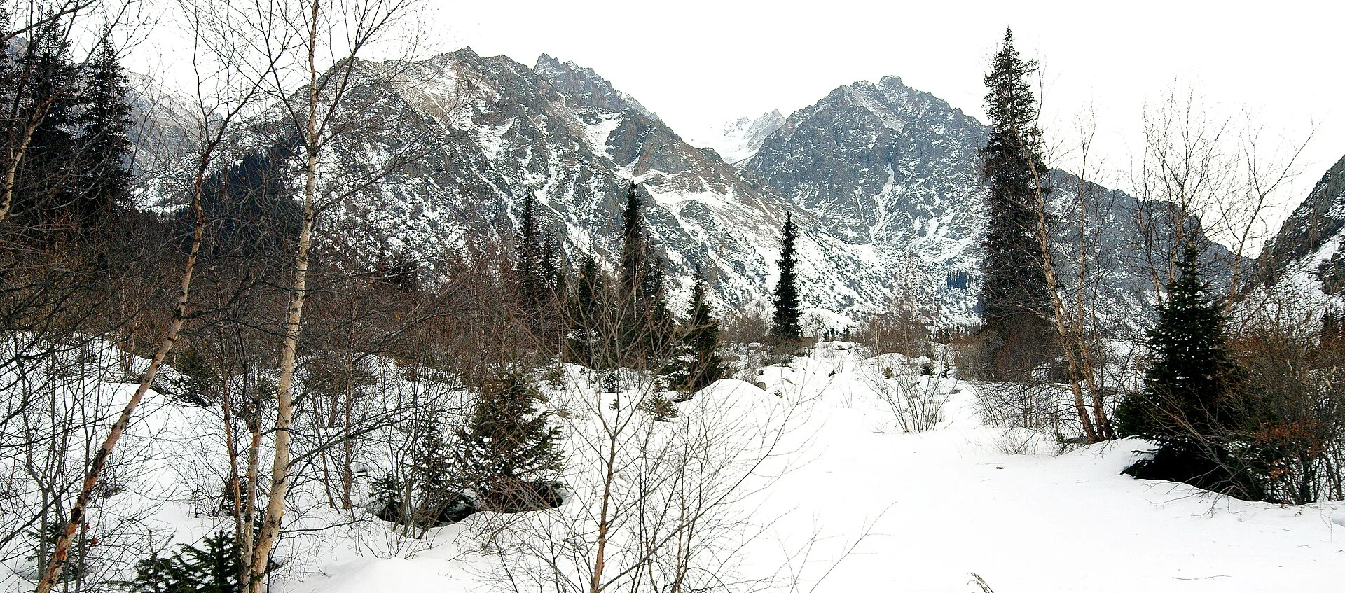
Ala-Archa lies south of Bishkek, but the road journey and the park’s internal access do not amount to arriving directly at the start of every trail. Plan the return journey first: arrange a round-trip transfer, join an excursion with transport, or use local transport whose return you have checked that same day. Do not rely on finding an available vehicle after coming down tired or in bad weather.
Vehicle management, parking, internal transport and park infrastructure have changed in recent years. For that reason, check the current access arrangements, drop-off points and any construction restrictions or diversions with the park administration. Do not plan around an old review or assume that a private car will reach the same place as in a previous season.
An early start is not an aesthetic rule: it gives you time to walk at your own pace, decide whether to continue and return without rushing. Carry enough water and a warm layer even if Bishkek starts the day warm; do not base your plans on shops or services being available along the trail.
Ak-Sai requires reading the terrain, not just the map
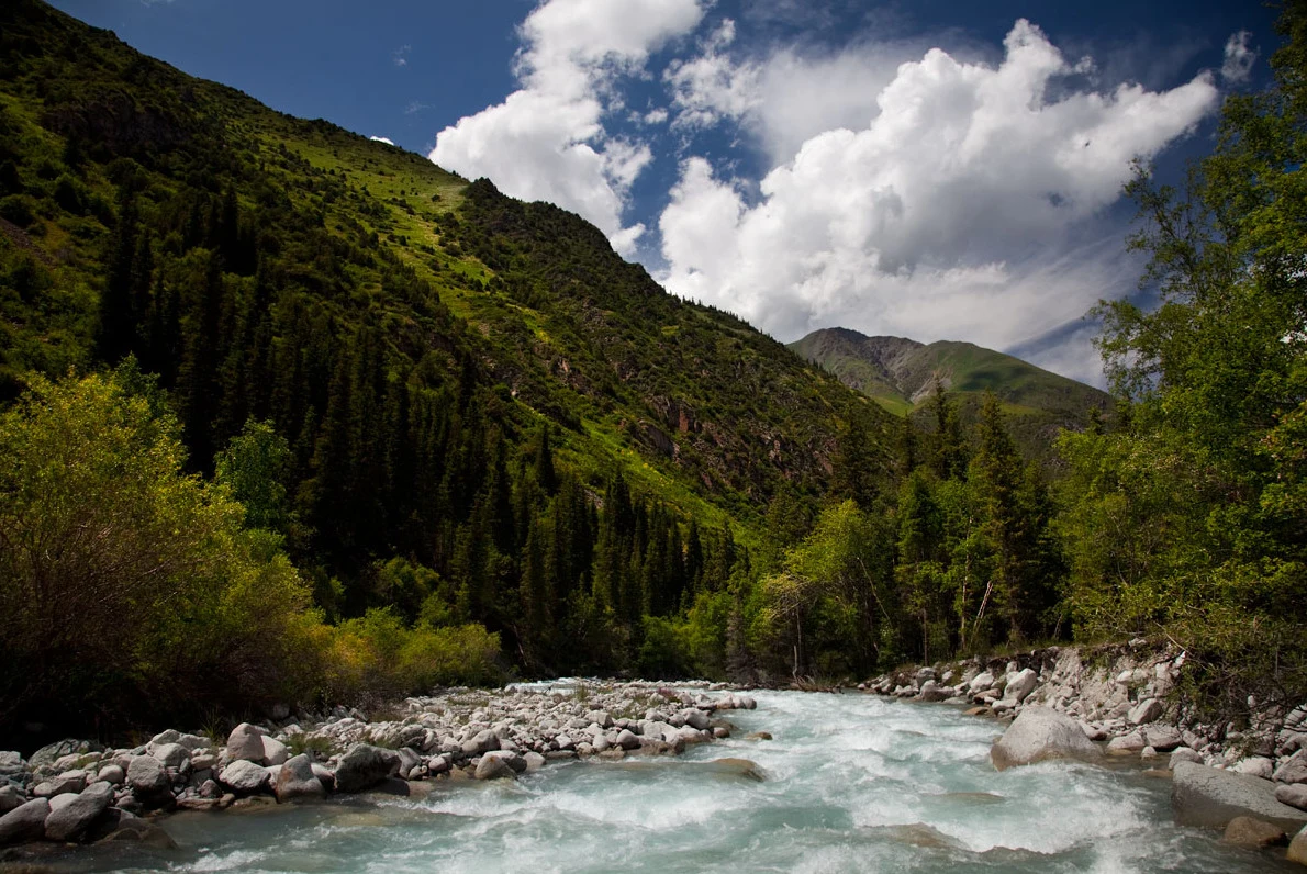
The route to Ak-Sai can seem accessible because of its popularity, but the cumulative ascent and loose-rock sections turn what looks like a short walk on paper into an outing requiring attention. Keep to a pace at which you can speak normally, eat and drink before you feel tired, and save energy for the descent: going down is also part of the route.
Cloud, afternoon rain, cold and the flow of streams can change how the route feels. In this setting, temperatures can be considerably lower than in the city, and the light changes quickly once you enter the valleys. If the forecast worsens, a storm develops or the ground is slippery, the best adjustment is not to speed up: it is to shorten your objective.
The national emergency service uses 112 for help requests. The presence of rescue teams in the area does not make the trail risk-free or replace individual preparation. Download offline maps, share your itinerary and avoid heading into high routes without sufficient experience.
A visit that looks after the park starts by leaving room for manoeuvre
Ala-Archa concentrates a great deal of recreational activity near the capital while also preserving a sensitive high-mountain landscape. The simplest way to reduce your impact is straightforward: stay on designated routes, respect closures, leave no waste and avoid turning wildlife observation into a persistent search. Signs and barriers take priority over any downloaded track.
Do not chase an image of the glacier or a summit if that means entering closed areas, extending the walk without a safety margin or leaving the trail. The experience also lies in recognising the transition between the inhabited valley, forest and rock, and in returning with enough time to spare.
For those who want a slower stay, sleeping near the park can separate the road journey from the hike. Even so, confirm directly accommodation, opening hours, usage rules and access arrangements: these are details that change and can determine the plan.
Which objective suits your day?
The lower valley is a good fit for a first introduction to the Kyrgyz mountains, a morning with limited time or a group moving at different paces. It lets you prioritise scenery and route-finding without compromising the return.
Ak-Sai suits people who already walk regularly and can manage a sustained climb with basic mountain equipment. The reward is the valley’s gradual change of scale; the condition is to treat the elevation gain as real exertion, not as a walk to a single attraction.
Ratsek should be reserved for hikers with more robust planning, experience on mountain terrain and a willingness to change the plan. The smart choice is not always to climb higher: at Ala-Archa, turning back in time protects both the day and the possibility of walking again the following day.
Sources to check before setting out
Advance checks required for changing details:
- Ala-Archa State Nature Park administration: access, park conditions, internal infrastructure, accommodation and operational notices.
- Ministry of Emergency Situations of the Kyrgyz Republic: mountain safety advice and use of 112 in emergencies.
- Hiking.kg, Ak-Sai route listing: approximate elevation gain, route and possible trail changes or closures.
- Visit Kyrgyzstan, destination information: practical context for the excursion from Bishkek and infrastructure updates.
References consulted during editorial review. Times, requirements and advisories may change: always confirm with the official source.
- https://alaarchapark.kg/ alaarchapark.kg
- https://hiking.kg/en/bishkek/ak-say hiking.kg
- https://visitkyrgyzstan.kg/tour/airport-and-ala-archa-transfer/ visitkyrgyzstan.kg
- https://alaarchapark.com/ alaarchapark.com
- https://www.visitkyrgyzstan.org/destinations/ala-archa/ www.visitkyrgyzstan.org
- https://kyrgyzland.com/en/node/102 kyrgyzland.com
- https://www.visitkyrgyzstan.org/destinations/bishkek/ www.visitkyrgyzstan.org
- https://bookit.kg/en/kyrgyzstan/bishkek-chuy/ak-sai-waterfall-ratsek bookit.kg
- Kyrgyzstan World Countries — mledozeODbL 1.0 World countries dataset by mledoze and contributors · ODbL 1.0
- Kyrgyz Republic World Bank Open DataCC BY 4.0 World Bank
- Kyrgyzstan DBpediaCC BY-SA 3.0 DBpedia
- Kirghizistan DBpediaCC BY-SA 3.0 DBpedia