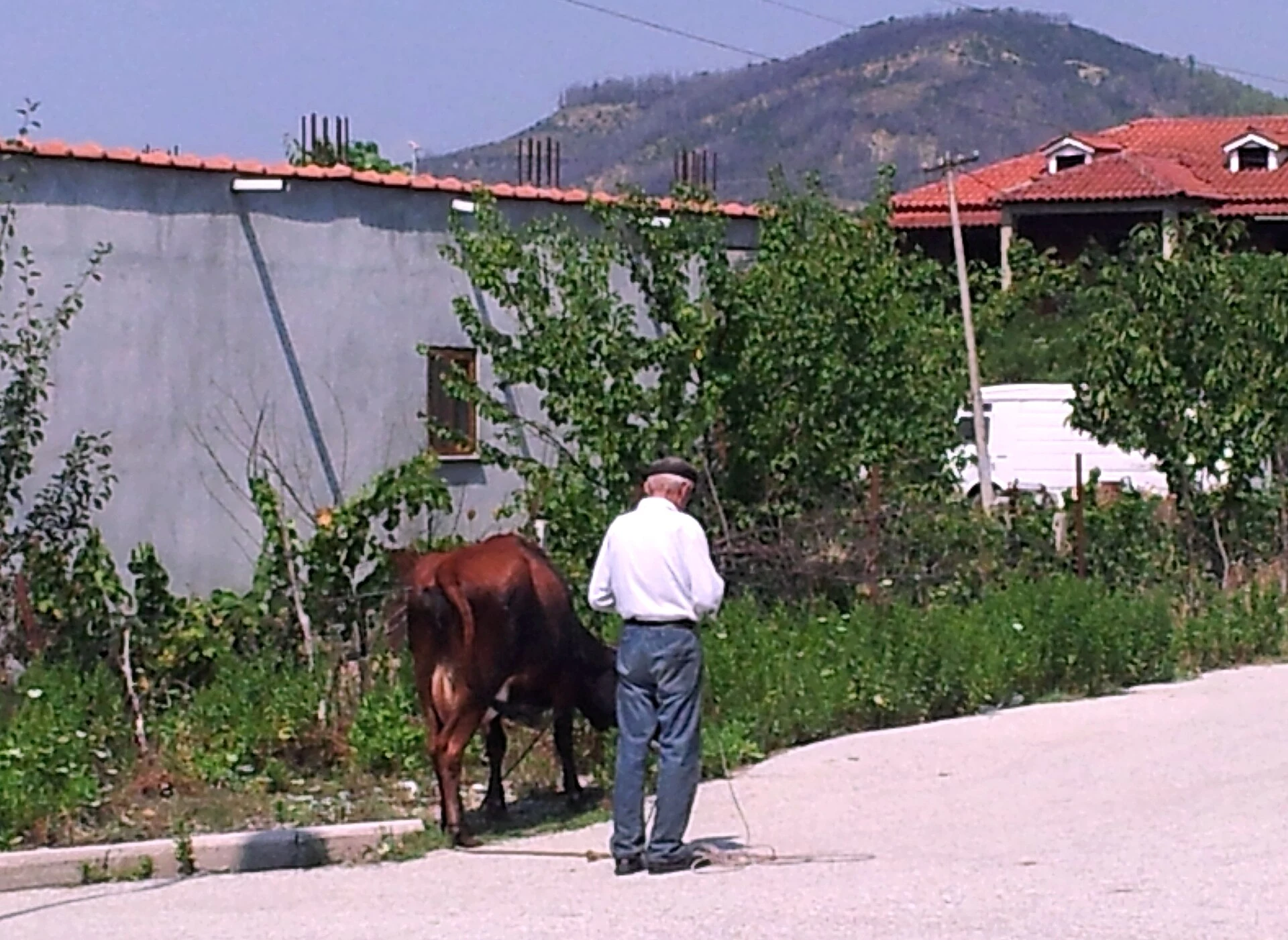
Albania · City or town
Përmet
Përmet pairs a walkable town with the landscape of the Vjosa valley. Langarica and Bënja offer a tributary setting distinct from the river’s main channel.
Explore the place →Places in context: profiles connected to our guides, maps, sources and verified photographs.
Përmet pairs a walkable town with the landscape of the Vjosa valley. Langarica and Bënja offer a tributary setting distinct from the river’s main channel.
Explore the place →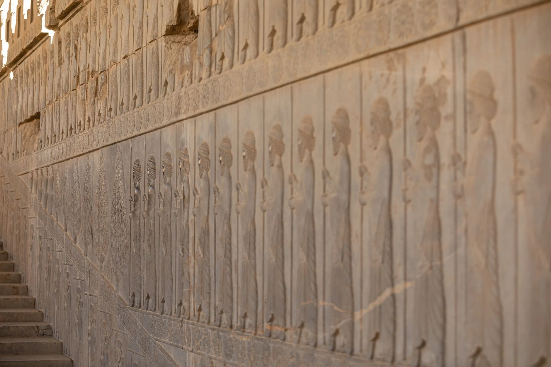
Persepolis is an Achaemenid ceremonial complex whose terrace, stairways and reliefs show how architecture shaped royal ceremony. Postpone a visit until travel conditions have changed verifiably.
Explore the place →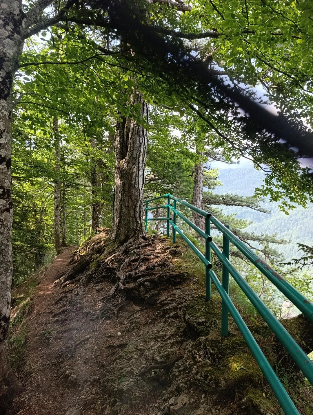
Perućica is a strict nature reserve in Sutjeska National Park, where access to the forest is controlled. It can be viewed from Dragoš Sedlo; entering requires advance notice, approval and an authorized guide.
Explore the place →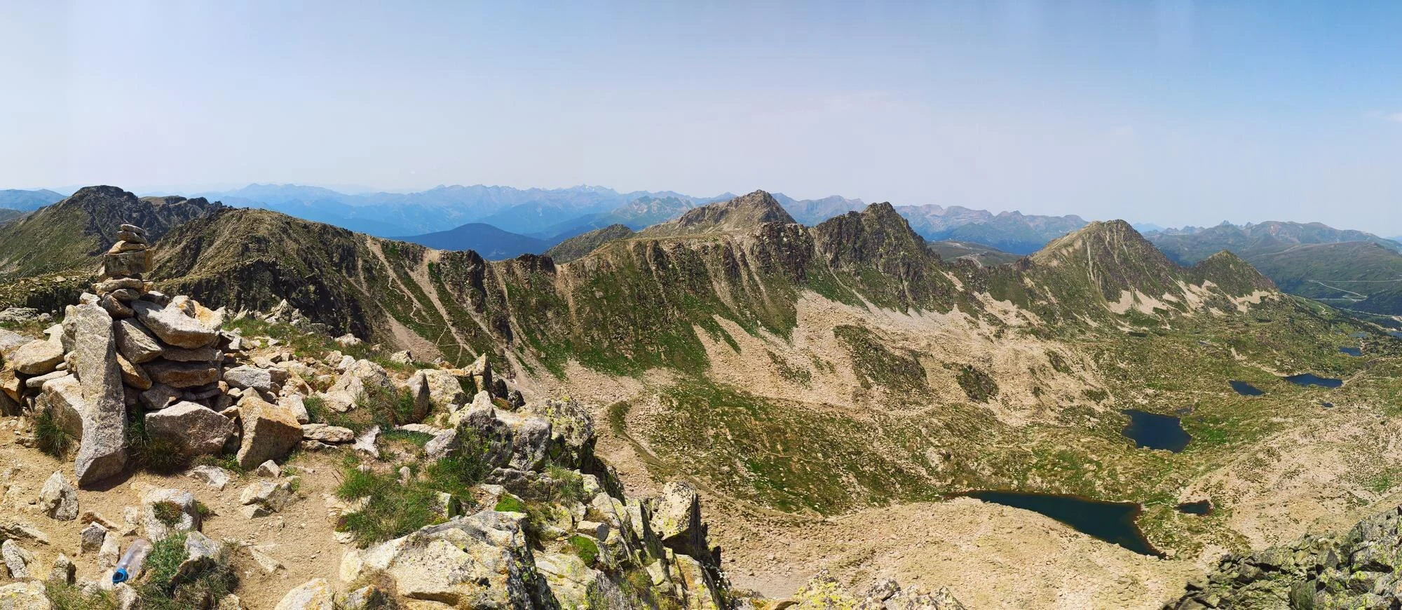
Pessons is listed among the access points to the Madriu valley for visitors planning a long day or a mountain traverse. The article links it with GR routes, lakes and passes, rather than a brief cultural visit.
Explore the place →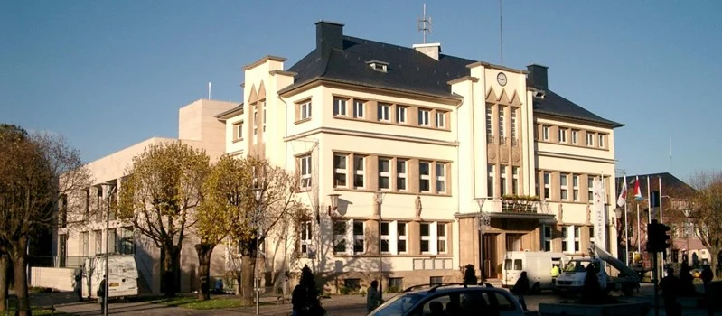
Pétange features in the Minett’s mining railway history as the starting point for Train 1900, which connects the town with the valley along a former mining line.
Explore the place →Petit Loango lies within an internationally important wetland where lagoon, coast, forest, savanna and swamps form a protected landscape. Visiting calls for a flexible pace, guided outings and coordinated boat and vehicle transfers, with wildlife and conditions that may change the programme.
Explore the place →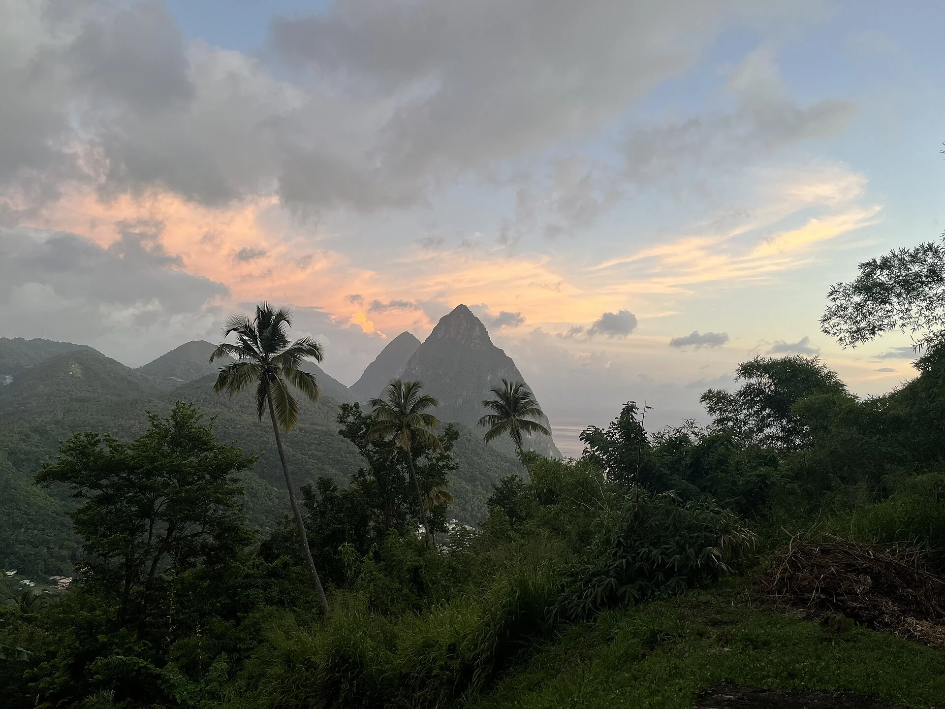
Petit Piton is a volcanic summit in Saint Lucia with a technical, exposed ascent involving fixed ropes and vertical rock faces. The climb requires a professional guide and genuine experience with this kind of terrain.
Explore the place →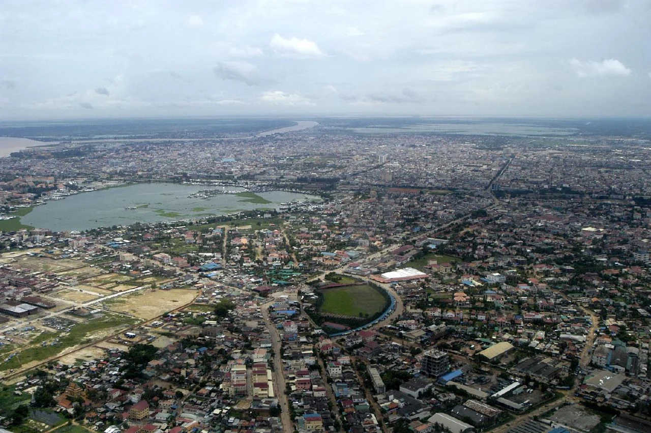
Phnom Penh is Cambodia’s capital. Khmer is listed as the country’s language, and the sources record the Cambodian riel and US dollar as currencies; these details do not confirm services or payment conditions in the city.
Explore the place →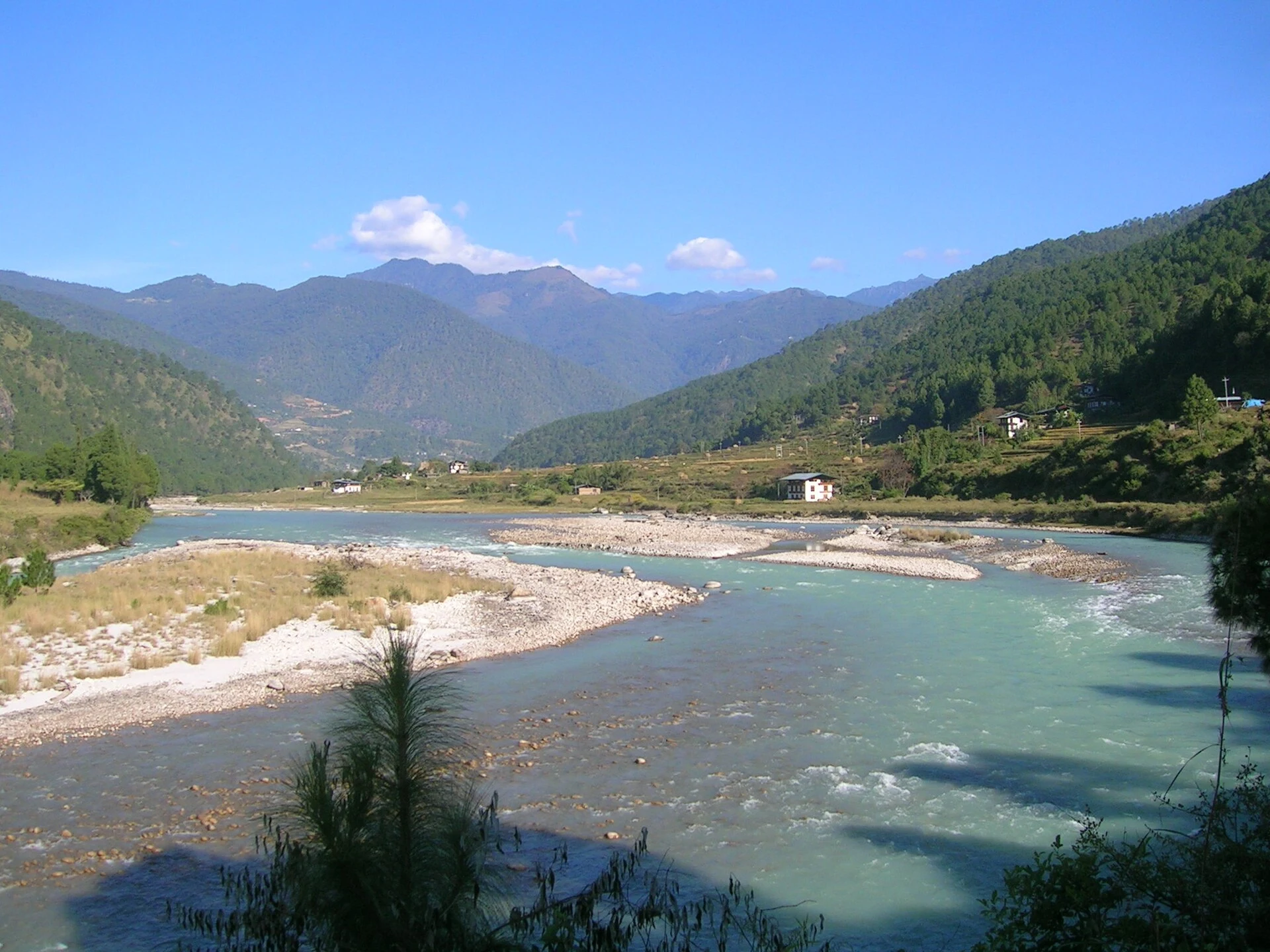
The Pho Chhu is one of the two rivers that meet beside Punakha Dzong, where it joins the Mo Chhu. Together, the rivers form the Puna Tsang Chhu.
Explore the place →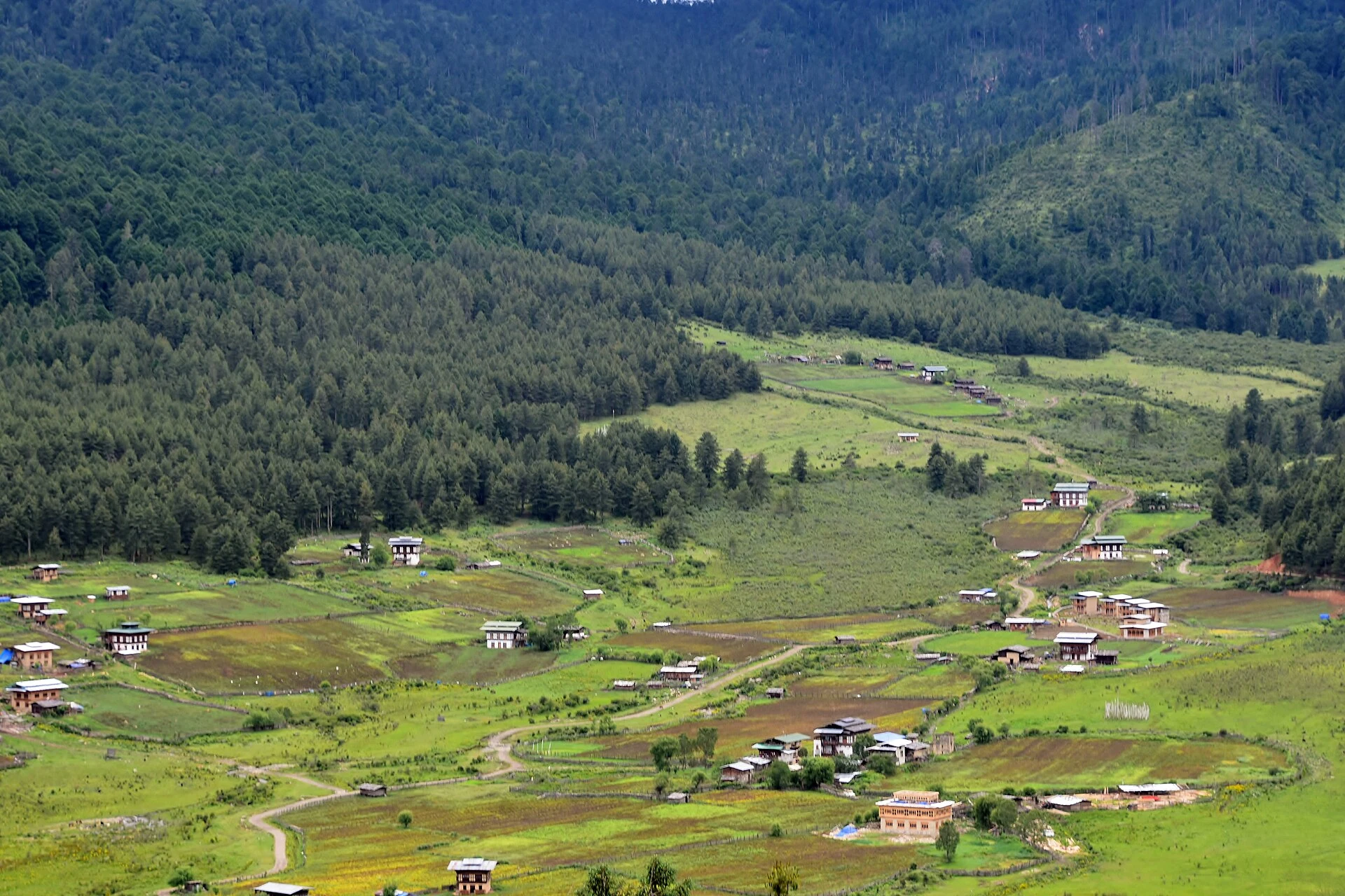
Phobjikha, also called the Gangtey Valley, brings together wetlands, villages and fields around a monastery. It is Bhutan’s main wintering area for black-necked cranes, though sightings are never guaranteed.
Explore the place →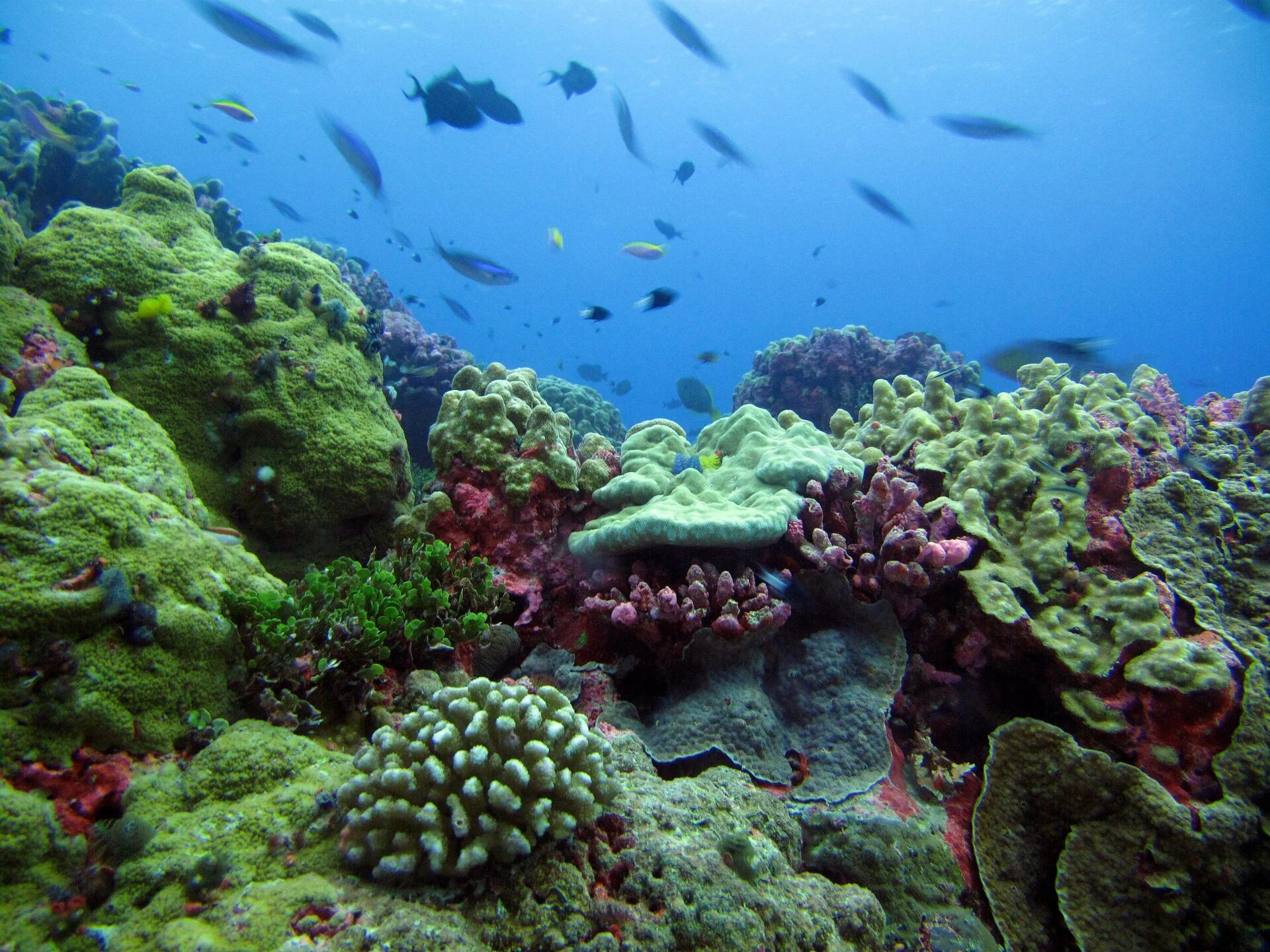
The Phoenix Islands Protected Area encompasses atolls, reefs, seamounts and open ocean. Visiting requires an authorised, self-sufficient expedition planned to minimise its impact.
Explore the place →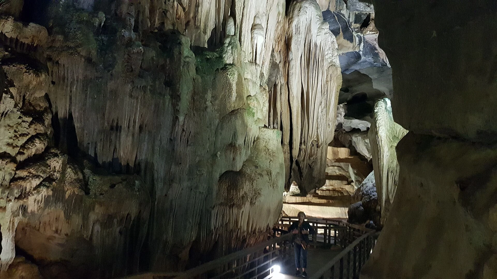
Phong Nha serves as a base for exploring the Phong Nha-Ke Bang area and arranging visits to its caves and natural routes. Leave time between activities, since pickups, boat departures, rural roads and preliminary checks can affect the itinerary’s actual timing.
Explore the place →
Phong Nha Cave is an underground experience shaped by the Son River: the visit begins by boat and continues inside the cave, with some sections on foot. It takes several hours and involves relatively little physical effort, though access conditions should be confirmed.
Explore the place →
Phong Nha-Kẻ Bàng is a tropical karst landscape of underground rivers and forest, where each cave offers a different experience. Phong Nha Cave follows the Son River by boat; Paradise Cave has dry chambers and walkways, while expeditions require several days and technical effort.
Explore the place →
Phonsavan is a practical base for arranging visits to Sites 1, 2 and 3 of the Plain of Jars. Allow time for transfers and check access conditions before setting out.
Explore the place →Pico de São Tomé is a mountain hike to a 2,024-metre summit in Obô Natural Park. The route is considered difficult and requires good physical fitness; it can be planned as a one- or two-day trek.
Explore the place →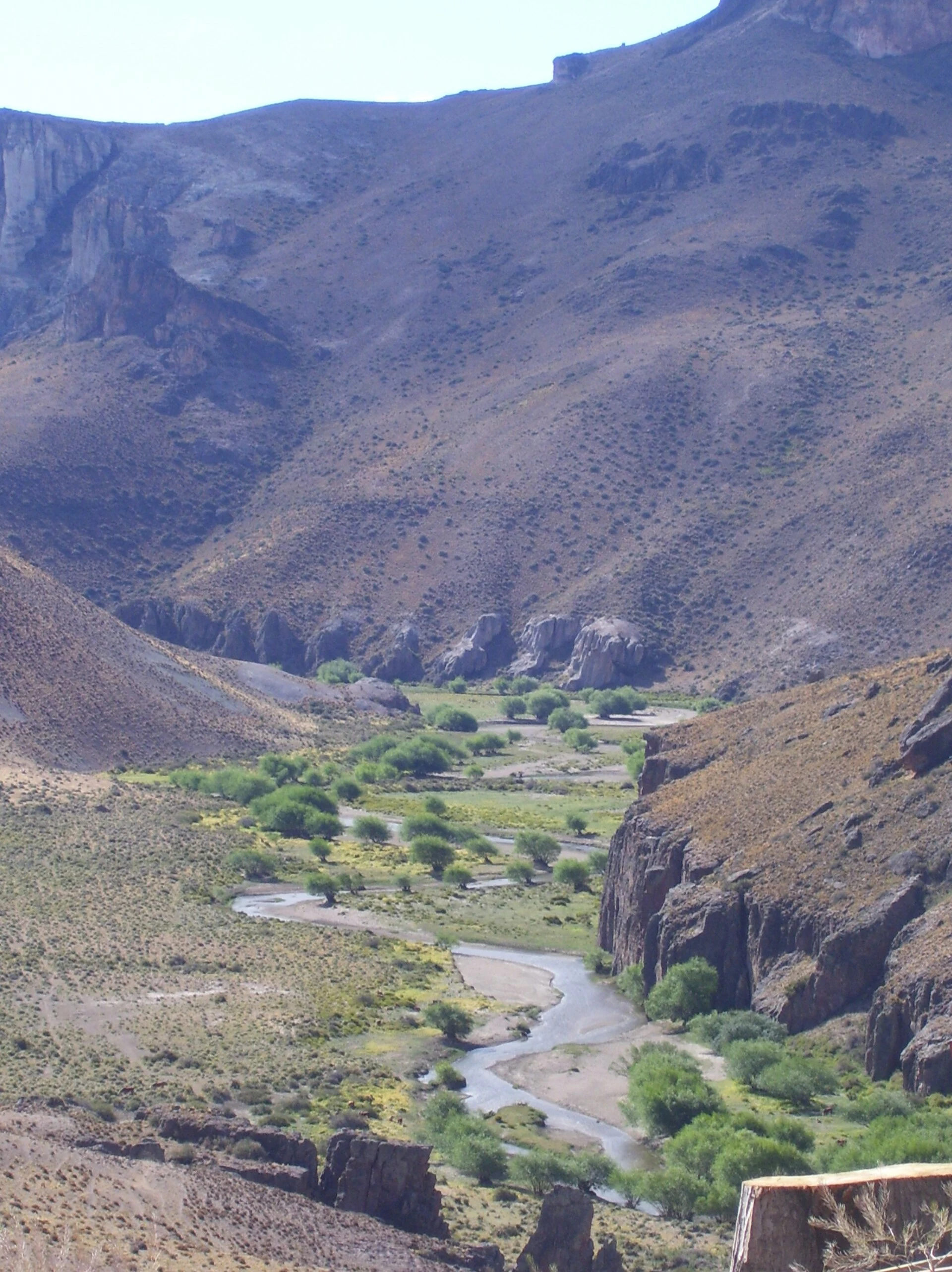
The Pinturas River is described through the canyon whose walls hold the paintings at Cueva de las Manos. The article presents the river in connection with this landscape and archaeological site.
Explore the place →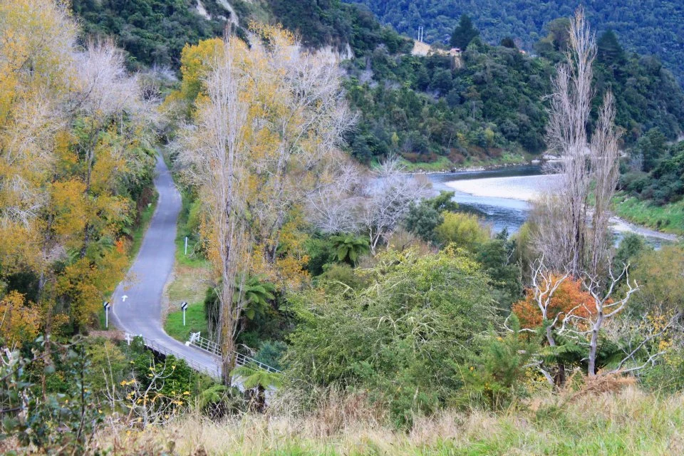
Pipiriki is the destination of the full canoe route from Taumarunui and of the 88 km Whakahoro section, usually completed over three days.
Explore the place →