Kazakhstan · rock art and cultural heritage
Tanbaly and Tamgaly-Tas: Two Engraved Landscapes near Almaty
Two almost identical names refer to different places: one encompasses an extensive archaeological landscape from the Bronze Age; the other preserves Buddhist images beside the Ili River.
Before arranging an excursion from Almaty, it is worth clearing up a common confusion: Tanbaly and Tamgaly-Tas are not the same place. The former is an extensive protected archaeological landscape, inscribed on the World Heritage List, where the engravings form part of a wider ensemble of settlements, burial mounds and ritual spaces. The latter is a small rock sanctuary beside the Ili River, known for its Buddhist images and inscriptions. Choosing correctly changes the route, the time required and, above all, what you will understand.
Two similar names, two different excursions
The linguistic similarity is not a minor detail: it has led to maps, itineraries and accounts that conflate the two sites. Tanbaly—also historically referred to as Tamgaly—is located in the Chu-Ili Mountains, near Karabastau and about 170 kilometres northwest of Almaty. It is the archaeological complex recognised by UNESCO.
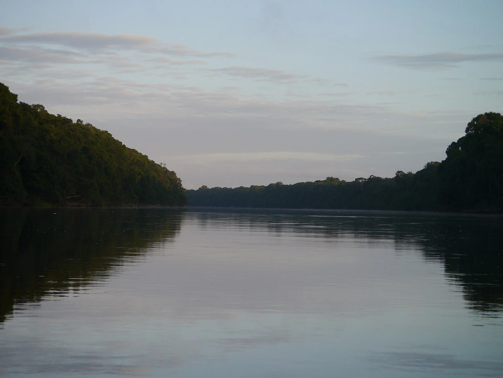
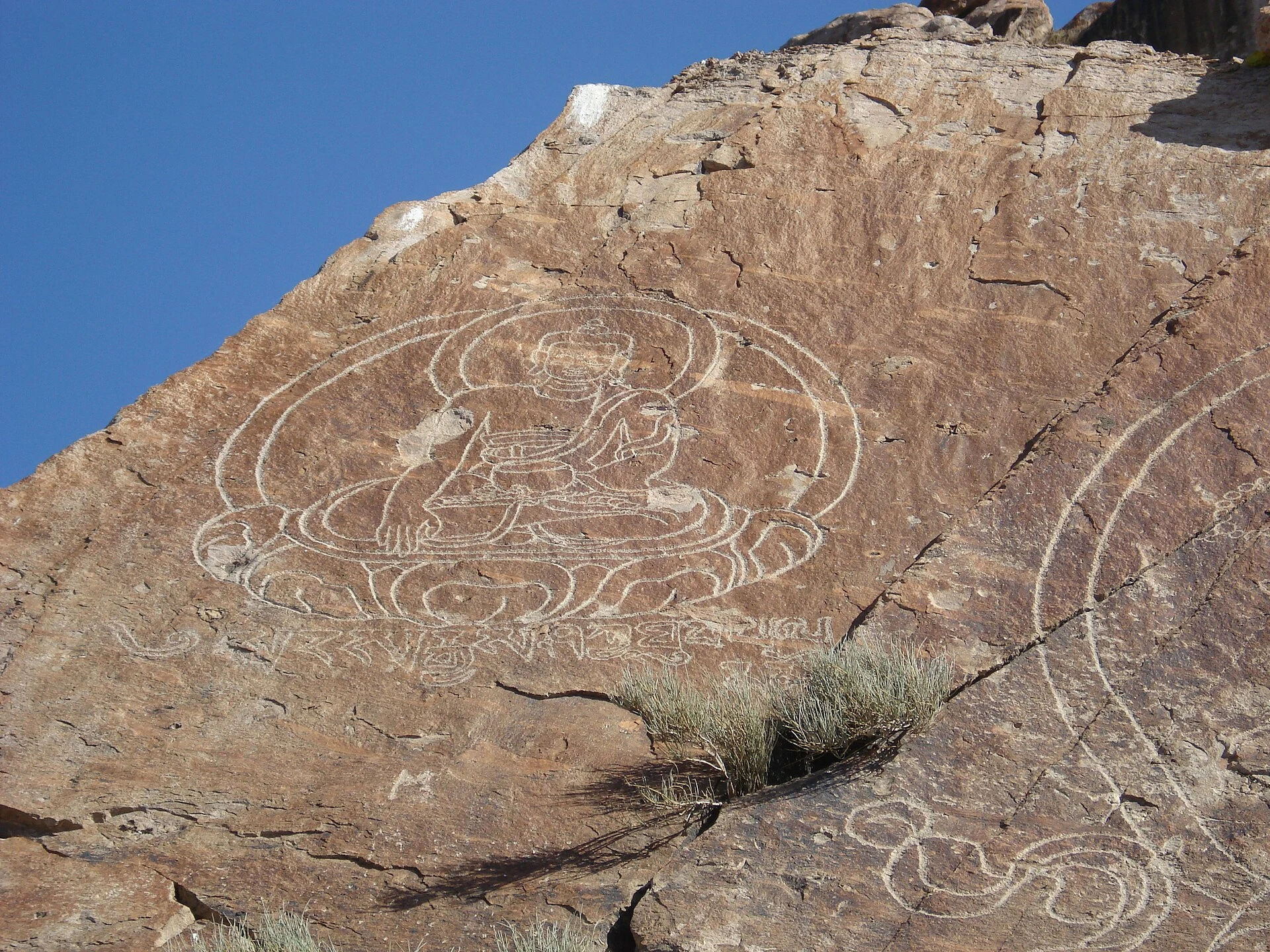
Tamgaly-Tas, by contrast, lies beside the Ili River, in the vicinity of Konaev. Its rocky blocks preserve Buddhist figures and texts in Tibetan and Oirat scripts. It should not be presented as an extension of Tanbaly or as the same UNESCO-inscribed property.
For anyone with only one day, the choice is straightforward: Tanbaly is the place to choose for a long-term archaeological landscape; Tamgaly-Tas is better suited to those drawn to the religious and epigraphic history connected with the Ili corridor.
Tanbaly is read as a landscape, not a single wall
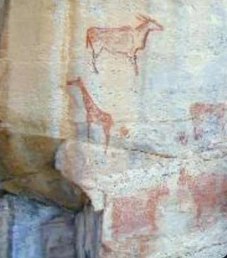
The power of Tanbaly lies in the relationship between its roughly 5,000 documented engravings, worship areas, settlements and burials. Its images range from the second half of the 2nd millennium BC to the beginning of the 20th century, so it is unwise to interpret every animal, human figure or sign as belonging to one community or period.
The visit becomes more meaningful when you observe differences in patina, technique and scale. The large early figures—including the famous solar deities—offer an entry point, but they do not exhaust the site. The central canyon contains a particularly dense concentration of images and ritual features; the surrounding area explains why this is described as an archaeological landscape rather than simply a rock-art gallery.
Allow time to walk slowly, alternating between close views of the panels and the wider landscape. An isolated photographic frame can conceal the fact that pastoral communities used and reinterpreted this place over thousands of years.
Tamgaly-Tas offers a different reading beside the Ili
At Tamgaly-Tas, the scale is more concentrated. Figures of Buddhist deities and ritual texts appear on rocks near the river, forming an open-air sanctuary whose importance is linked to the movement of beliefs, languages and communities through Central Asia.
There is no need here to look for the same Bronze Age chronology that defines Tanbaly. The experience lies in examining the reliefs, inscriptions and their riverside setting. The contrast with Tanbaly is illuminating: one allows visitors to follow a long sequence of pastoral and ritual practices; the other opens a conversation about late Buddhism, writing and sacred landscapes.
The immediate terrain can be uneven and shade is scarce. Bring water, sun protection and closed shoes with good grip. Do not lean on the rocks, rub the surfaces to improve a photograph or make tracings: the engraved rock is the document, not a backdrop.
Plan the journey with a realistic margin
Both destinations are best visited as separate day trips from Almaty. For Tanbaly, the distance and the dispersed nature of the complex justify setting aside a full day, with organised transport or a hired vehicle. Tamgaly-Tas is generally approached as a day excursion towards the Ili; the final stretch may depend on track conditions and recent weather.
Do not base your plans on opening hours or prices found in old posts. Confirm before setting out access to the site, road conditions, guide availability, accepted forms of payment, mobile coverage and any temporary restrictions directly with the organisations listed at the end. Bring food and water rather than assuming services will be available on site.
If your priority is to minimise impact, choose an itinerary that allows time to understand one site instead of stringing together hurried stops. Take all your waste back with you, do not add marks to the rocks and avoid leaving designated routes when they are signposted.
References to check before setting out
Heritage and access information: UNESCO World Heritage Centre, entry for the Petroglyphs of the Archaeological Landscape of Tanbaly; Tanbaly State Historical, Cultural and Natural Museum-Reserve; A. Kh. Margulan Institute of Archaeology, Tamgaly-Tas entry; Altyn-Emel National Park, explanatory note on the different places known as Tanbaly Tas; Kazakhstan’s national tourism portal.
Information requiring confirmation close to the travel date: opening times, fees, entry rules, guide contacts, road conditions and the state of the final stretch to Tamgaly-Tas.
References consulted during editorial review. Times, requirements and advisories may change: always confirm with the official source.
- https://oq.gov.kz/en/abai/tamghaly-tas oq.gov.kz
- https://e-history.kz/en/historical-education/show/12957 e-history.kz
- https://tamgaly.kz/en/ tamgaly.kz
- https://kazakhstan.travel/en/attractions/56 kazakhstan.travel
- https://tanbaly.kz/en/ tanbaly.kz
- https://oq.gov.kz/ru/abai/tamghaly-tas oq.gov.kz
- https://e-history.kz/ru/historical-education/show/12877 e-history.kz
- https://www.kazakh.travel/en/destinations/tamgaly-tas www.kazakh.travel
- Kazajistán WikidataCC0 1.0 Wikidata · Q232
- Kazakhstan World Countries — mledozeODbL 1.0 World countries dataset by mledoze and contributors · ODbL 1.0
- Kazakhstan World Bank Open DataCC BY 4.0 World Bank
- Kazakhstan DBpediaCC BY-SA 3.0 DBpedia
- Almaty GeoNamesDatos geográficos bajo CC BY 4.0; requiere atribución a GeoNames. Fuente: GeoNames
- Almaty GeoNamesDatos geográficos bajo CC BY 4.0; requiere atribución a GeoNames. Fuente: GeoNames
- Almaty, Kazakhstan OpenStreetMapODbL 1.0; atribución y obligación de compartir bases derivadas. Fuente: OpenStreetMap
- Ili River GeoNamesDatos geográficos bajo CC BY 4.0; requiere atribución a GeoNames. Fuente: GeoNames